Quesnel / farther south
Claymine Low Mobility Trail
Claymine is a gentle forest circuit around a large boulder left by glaciation, west of Quesnel. The regional district describes approximately 1…
1 km loop
A LOCAL FIELD GUIDE
Find a walk close to home, a waterfall, or a day in the mountains.
Quesnel / farther south
Claymine is a gentle forest circuit around a large boulder left by glaciation, west of Quesnel. The regional district describes approximately 1…
Penny / Upper Fraser
Forest climb to renovated cabin; metrics depend strongly on starting point.
Tumuch / Bowron
Caledonia offers a steep ascent to a chain of alpine lakes and ridges above the Bowron–Tumuch road system. The first ridge and lake make a…
McGregor / Pass Lake
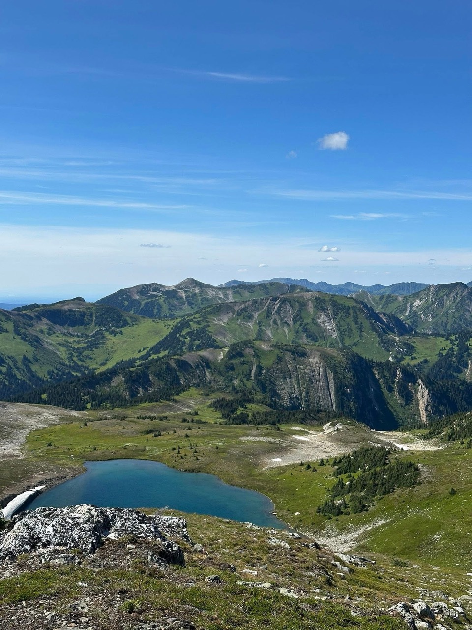
Trail reaches meadow, lakeside camping area and higher ridges; listed distances conflict and need reconciliation.
East / Evanoff
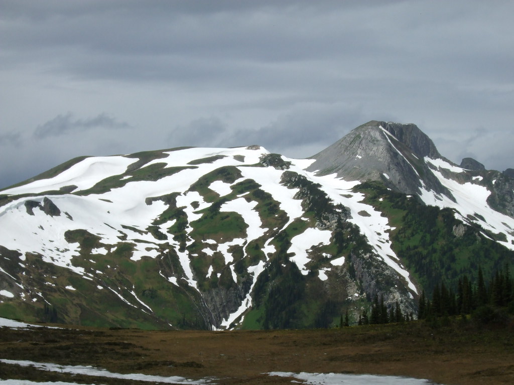
Continues beyond park to Torpy Mountain.
North / Carp Lake Park
A remote Carp Lake Park connection between Drumlin Bay and Dace Lake that requires boat access first. It is not part of the road-access…
Highway 16 East
Climb from cedar forest into open ridge glades on the east side of Driscoll Mountain. Choose a ridge or summit turnaround in advance; the rough…
Highway 16 East
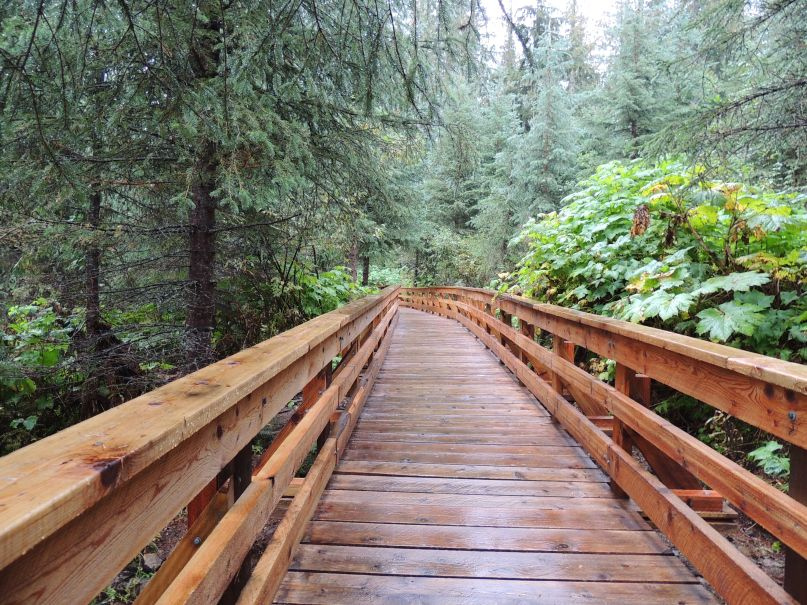
Cedar-forest paths include a waterfall and an accessible boardwalk; the accessible section needs separate length and grade data.
East / Ancient Forest
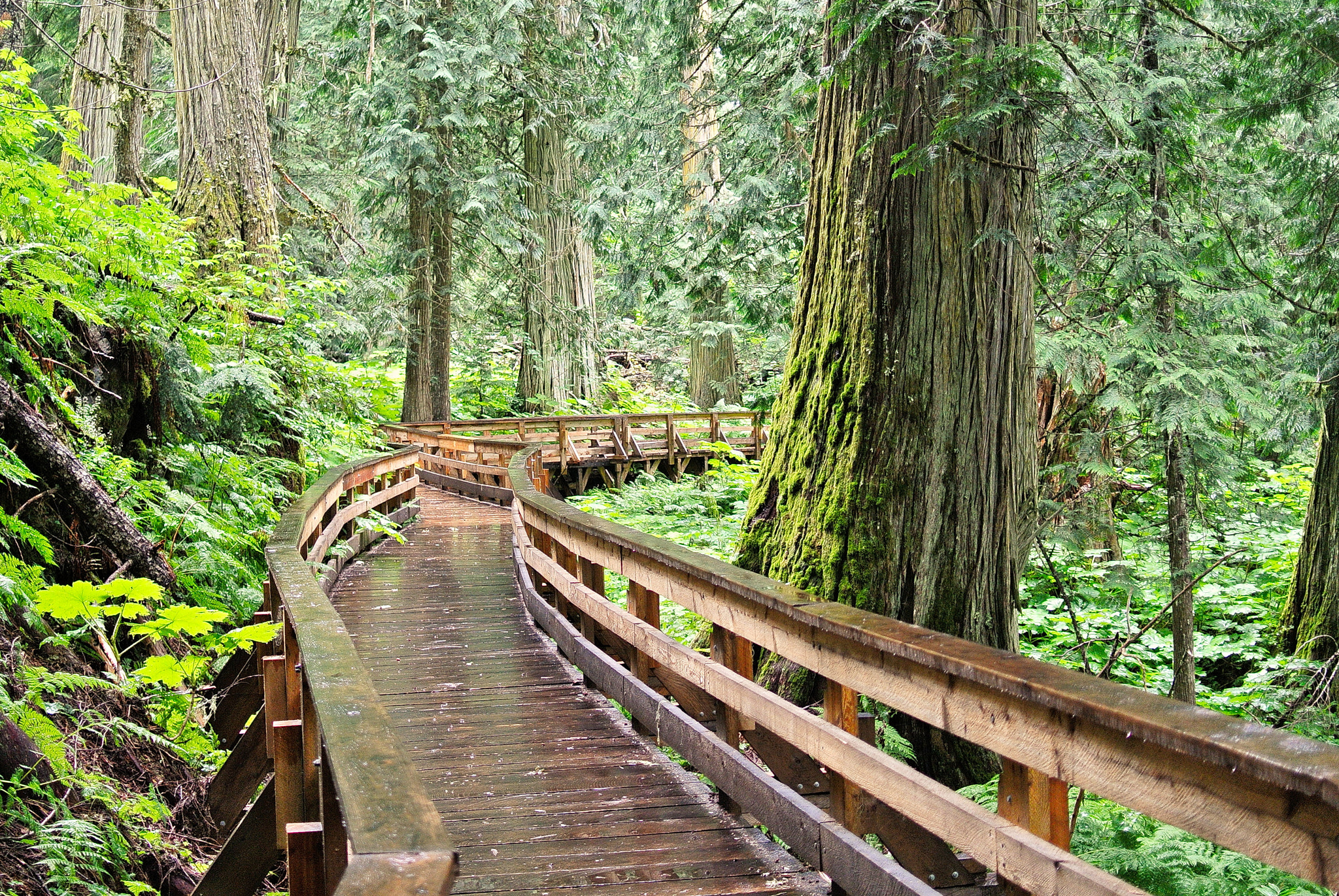
Forest boardwalk reaches large trees and waterfall.
East / Ancient Forest
Accessible boardwalk through old cedars.