A LOCAL FIELD GUIDE

Hiking around Prince George

Find a walk close to home, a waterfall, or a day in the mountains.

Browse regions

Places to go

121 to 130 of 324 places · 318 on the map

Early snow on Mount Murray in the Cariboo Mountains near Wells
Photo creditSnow, Meadow, Sky · Dru! · CC BY-NC 2.0 · Photographed Oct 11, 2015 · Downloaded Flickr-provided display size; no local image edits. Display may crop the view. · Noncommercial only

Wells / Barkerville

Mount Murray (Barkerville)

Mount Murray can be approached from either the Yellowhawk or Jubilee trailhead above the Bowron Lake Road. Both climb toward the same alpine…

12.5 km · point to point690 m gain5 to 6 hours
Early snow on Mount Murray in the Cariboo Mountains near Wells
Photo creditSnow, Meadow, Sky · Dru! · CC BY-NC 2.0 · Photographed Oct 11, 2015 · Downloaded Flickr-provided display size; no local image edits. Display may crop the view. · Noncommercial only

Wells / Bowron Lake Road

Murray Jubilee

4.5 AllTrails

Mount Murray can be approached from either the Yellowhawk or Jubilee trailhead above the Bowron Lake Road. Both climb toward the same alpine…

4.5 km · one way; return unconfirmed3–5 hoursdepending on route, as published

Kersley / farther south

Sisters Creek Accessible Trail

4.5 AllTrails

This short Kersley trail leads from the recreation-centre area toward a viewpoint over the Fraser River. The approximately 800 m route has a…

1.6 km · round trip

Wells / Barkerville

Yellowhawk Trail

Yellowhawk climbs from the Bowron Lake Road through forest into the open ridges near Greenbury and Mount Murray. It can serve a shorter ridge…

8.4 km · round trip604 m gain3 - 5 hours
Fraser Lake from Fraser Mountain
Photo creditMt Fraser - Pine Beetle Damage.JPG · Themightyquill · CC BY-SA 3.0 · Photographed Oct 2006 · Wikimedia resized original for thumbnail; no edits made locally. Any display crop must be disclosed, and adaptations retain image licence where share-alike applies.

Fort Fraser

Fraser Mountain

4.5 AllTrails

A steep forest climb reaches several viewpoints above Fraser Lake and the former fire-lookout site. The old tower is no longer a reliable…

8.2 km · round trip4-6 hours

Fort St. James / farther northwest

Tsilcoh Falls

A short forest approach north of Fort St. James reaches a waterfall, picnic area and pit toilets. The lengthy road approach should be planned…

2.4 km · round trip
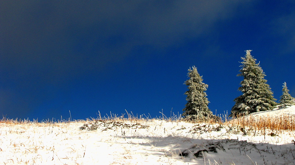
The view east from Mount Agnes in the Cariboo Mountains, 20 July 2008, with a snow patch below the alpine meadow
Photo creditCariboo Snow · Dru! · CC BY-NC 2.0 · Photographed Jul 20, 2008 · Provider display size downloaded; no local edits. Display may crop the view. · Noncommercial only

Region to confirm

Mount Agnes

Mount Agnes adds a summit above Groundhog Lake to the long approach from Barkerville. The local trail society lists around 20 km return and 740…

20 km · round trip740 m gain5–6 hoursas published
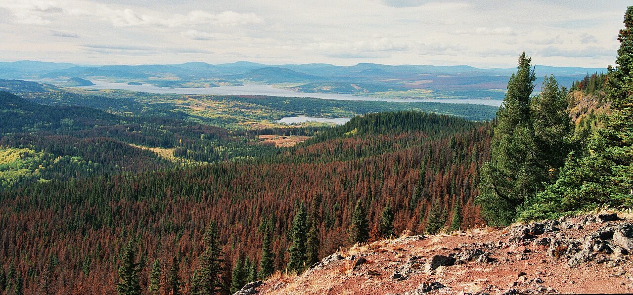
Dawn over Groundhog Lake in the Cariboo Mountains south of Barkerville
Photo creditGroundhog Lake · Dru! · CC BY-NC 2.0 · Photographed Jul 20, 2008 · Source display image downloaded without local content edits. Display may crop; adaptations retain the stated image licence. · Noncommercial only; obtain a commercial licence or replace before commercial use.
Barkerville

Mount Agnes/Groundhog Lake

Groundhog Lake is a long walk into the mountains behind Barkerville, using the old mining-road approach before reaching a high lake and rustic…

17 km · round trip490 m gain5-6 hour

Walker Creek / McGregor Mountains

Holy Cross Mountain

An advanced, largely untracked mountain ascent above Walker Creek with dense brush below alpine terrain and exposed, hands-on summit sections.

16 km · round trip1,469 m gain

Ptarmigan Creek / Highway 16 East

Erg Mountain

4.3 AllTrails

Creek crossing followed by steep forest climb to alpine terrain; lake and summit are different objectives.

About 2 hr 32 min from PGNot established · full outing distance not confirmed8 to 10 hours