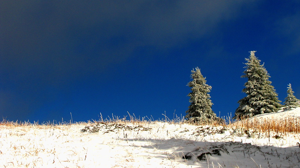
Photo creditSnow, Meadow, Sky · Dru! · CC BY-NC 2.0 · Photographed Oct 11, 2015 · Downloaded Flickr-provided display size; no local image edits. Display may crop the view. · Noncommercial only
Mount Murray can be approached from either the Yellowhawk or Jubilee trailhead above the Bowron Lake Road. Both climb toward the same alpine…
12.5 km · point to point690 m gain5 to 6 hours
Photo creditSnow, Meadow, Sky · Dru! · CC BY-NC 2.0 · Photographed Oct 11, 2015 · Downloaded Flickr-provided display size; no local image edits. Display may crop the view. · Noncommercial only
Yellowhawk climbs from the Bowron Lake Road through forest into the open ridges near Greenbury and Mount Murray. It can serve a shorter ridge…
8.4 km · round trip604 m gain3 - 5 hours
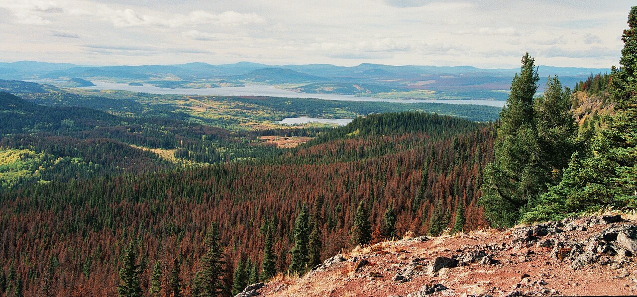
Photo creditMt Fraser - Pine Beetle Damage.JPG · Themightyquill · CC BY-SA 3.0 · Photographed Oct 2006 · Wikimedia resized original for thumbnail; no edits made locally. Any display crop must be disclosed, and adaptations retain image licence where share-alike applies.
A short forest approach north of Fort St. James reaches a waterfall, picnic area and pit toilets. The lengthy road approach should be planned…
2.4 km · round trip
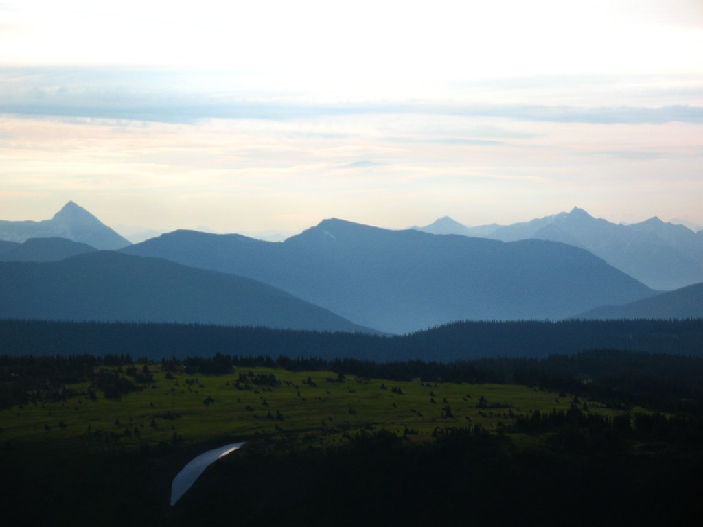
Photo creditCariboo Snow · Dru! · CC BY-NC 2.0 · Photographed Jul 20, 2008 · Provider display size downloaded; no local edits. Display may crop the view. · Noncommercial only
Mount Agnes adds a summit above Groundhog Lake to the long approach from Barkerville. The local trail society lists around 20 km return and 740…
20 km · round trip740 m gain5–6 hoursas published
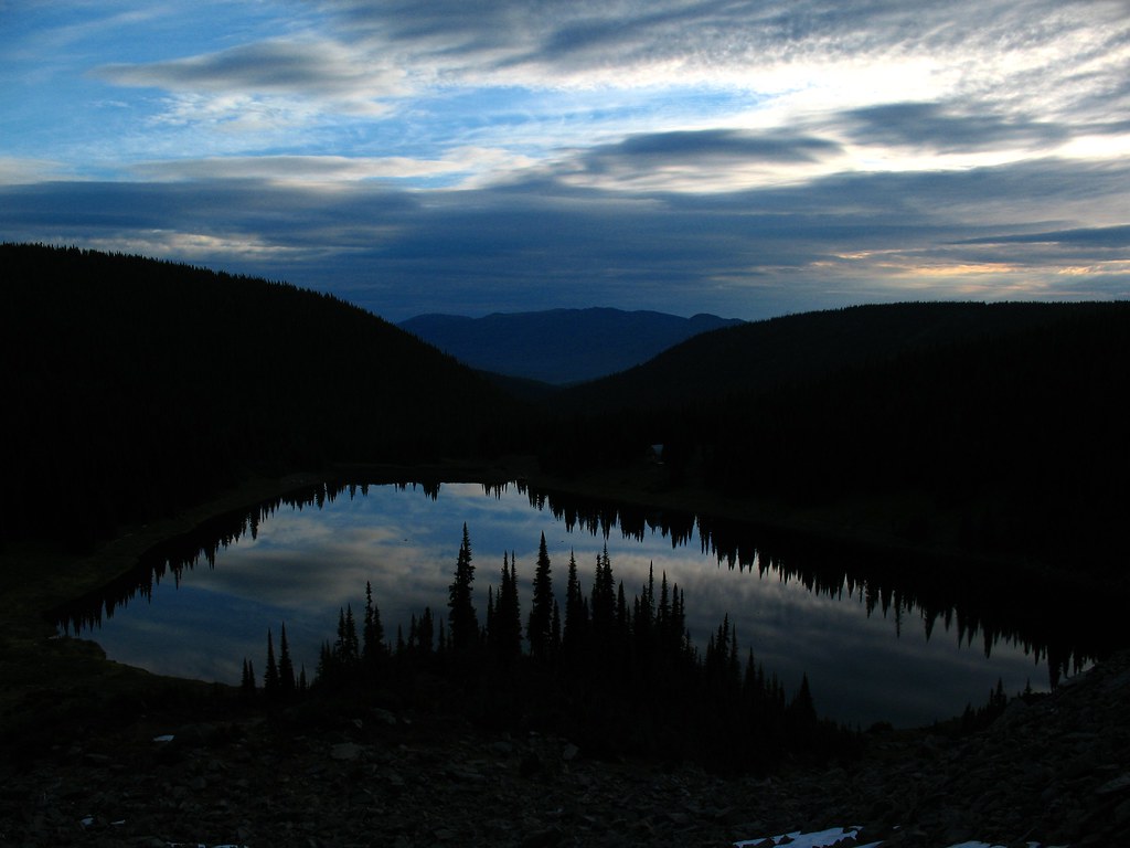
Photo creditGroundhog Lake · Dru! · CC BY-NC 2.0 · Photographed Jul 20, 2008 · Source display image downloaded without local content edits. Display may crop; adaptations retain the stated image licence. · Noncommercial only; obtain a commercial licence or replace before commercial use.