Wells / Quesnel Highlands
Mount Tinsdale
Tinsdale is a high, isolated summit in the Wells area, approached by logging roads and a very steep unformed mountain route. From the…
3 km one way
A LOCAL FIELD GUIDE
Find a walk close to home, a waterfall, or a day in the mountains.
Wells / Quesnel Highlands
Tinsdale is a high, isolated summit in the Wells area, approached by logging roads and a very steep unformed mountain route. From the…
Tumbler Ridge / Monkman / Peace Rockies
A lake-and-waterfall circuit with short steep sections; a shorter fork reaches the top of Canary Falls.
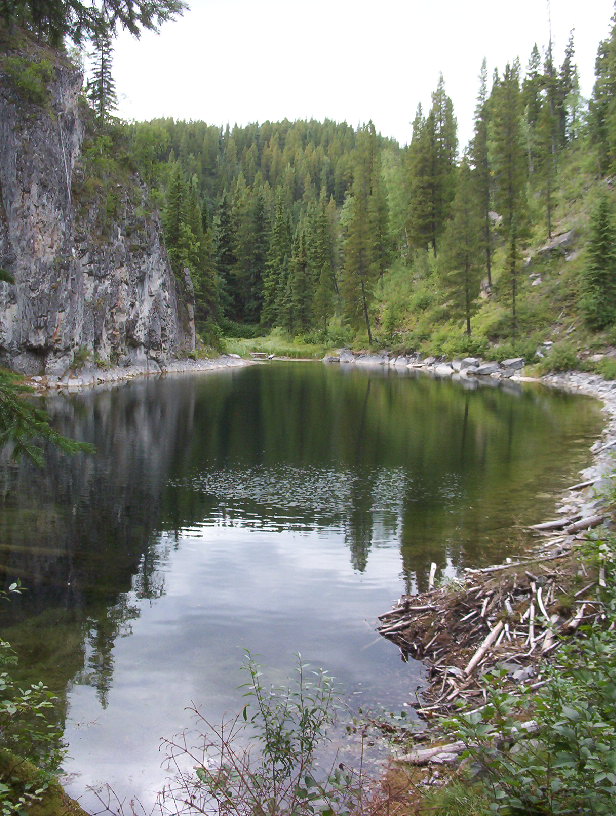
Tumbler Ridge / Monkman / Peace Rockies
Interpretive circuit through limestone features, ponds and cliffs; caves and springs are linked points of interest rather than independent hikes.
Vanderhoof / farther west
A short but very steep climb reaches an old volcanic landform and broad views. The drive is substantially longer than the walk, making road…
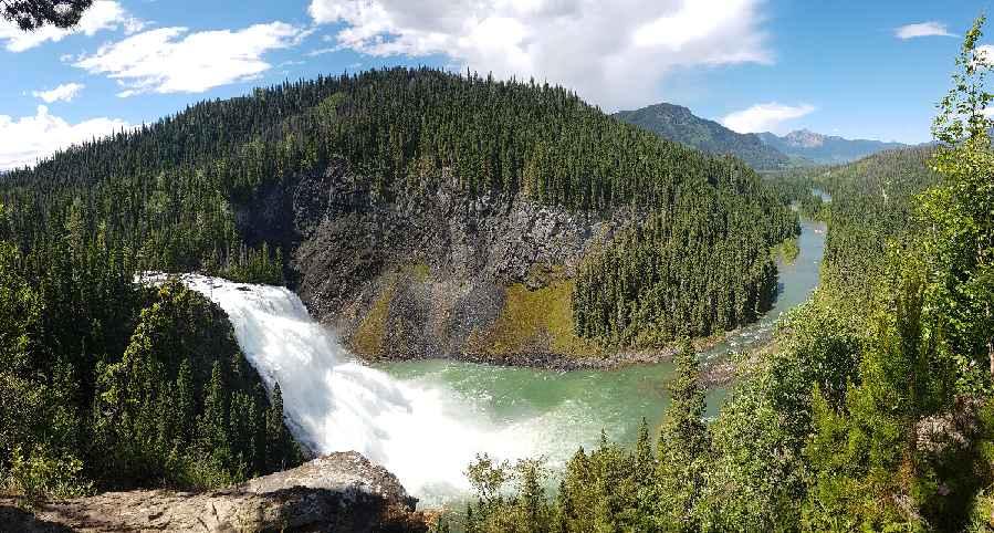
Tumbler Ridge / Monkman / Peace Rockies
Several walks reach viewpoints of Kinuseo Falls. BC Parks confirms the main viewing platform is closed for the 2026 season; the upper viewpoints…
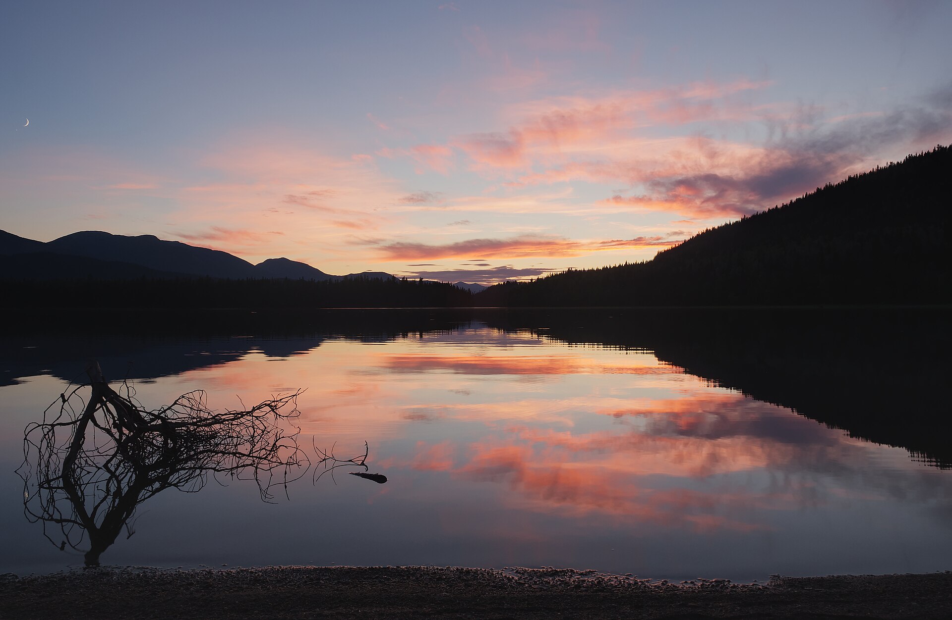
Bowron / Wells
Bowron Lake Park is a paddling and camping destination with walking side trips, rather than one continuous land-based hiking loop. The full…
Crescent Spur
A demanding ridge route near Crescent Spur starts with an easier road approach before a sustained climb into the alpine. Driving farther up the…
Tumbler Ridge / Monkman / Peace Rockies
Forest and meadow approach reaches the alpine lake. A higher return loop and mountain extensions require stronger navigation skills.
Robson Valley
A remote historic crossing between the upper Fraser River and the Bowron Lake plateau, with separate trail sections linked by a forest road.
Robson Valley
A short section of the historic Goat River corridor that reaches a cable-car crossing, with a remote forest-road approach.