A LOCAL FIELD GUIDE

Hiking around Prince George

Find a walk close to home, a waterfall, or a day in the mountains.

Places to go

241 to 250 of 324 places · 318 on the map

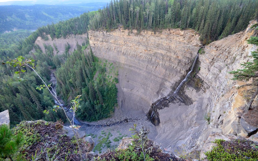
Bergeron Falls and the canyon below
Photo creditBergeron Falls - Tumbler Ridge, British Columbia, Canada. · Miles Green · CC BY 2.0 · Photographed Aug 26, 2014 · Provider resized the original for this download; no local edits. Display may crop the view.

Tumbler Ridge / Monkman / Peace Rockies

Bergeron Falls

4.7 AllTrails

Upper views and a longer circuit explore different parts of the canyon. Water crossings and cliff exposure make the circuit more demanding.

12 km loop450 m gain5–7 hours
Tumbler Ridge / Monkman / Peace Rockies

Quality Falls

4.7 AllTrails

Forest walk to upper Quality Creek waterfall, with a steeper final descent.

2.5 km round trip75 m gainUnder 1 hourfor fit hikers; allow longer for stops

Robson Valley

Bluff / Connector / Outrun

A lower-mountain loop above McBride, using shared trails with viewpoints across town and the Cariboo Mountains.

5 km loop

Robson Valley

McBride Mountain Trails

A multiuse trail network on the lower slopes of McBride Peak, with easy viewpoints and steeper hiking and mountain-bike routes.

About 3 hr 56 min from PG
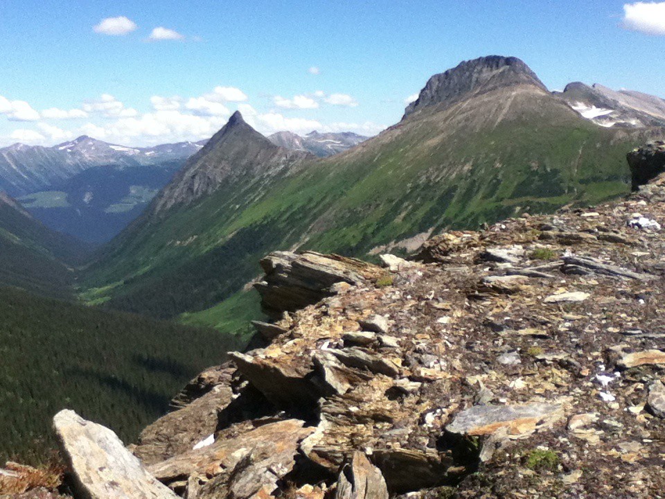
A northward view from McBride Peak
Photo creditView north from McBride Peak · Jim Swanson · CC BY 2.0 · Photographed Aug 1, 2013 · Downloaded provider display size; no local image edits. Display may crop the view.

McBride

McBride Peak

Alpine walks include McBride Peak and longer ridges toward Teare Mountain. High road access changes hike length.

About 3 hr 56 min from PG4 km round trip450 m gain4 hours

Robson Valley

Horseshoe Lake

A short McBride outing to an abandoned Fraser River channel, with wetland birdwatching and a gazebo at the lake.

2.6 km round trip

Mackenzie

Cut Thumb Falls

3.9 AllTrails

A creekside forest walk north of Mackenzie ends at an unfenced waterfall. The first half is comparatively level, while the latter half climbs…

5.1 km round trip208 m gain

Chetwynd / Highway 29

Martin Falls

4.5 AllTrails

A short undeveloped approach reaches two waterfalls beside Highway 29. Despite the small distance, the creek bed sits between drops and deserves…

1 km round trip20 m gain1 hour

Pine Pass / Fisher Creek

Mount Bickford Fire Tower

4.4 AllTrails

A steep, poorly marked mountain route climbs from a powerline road toward the former fire-lookout ridge. The name is historical: a 2025 trip…

5.8 km round trip458 m gainAbout 3 hours

Pine Pass / Fisher Creek

Mount Bickford Horse Trail

An alternative approach to Bickford’s alpine terrain branches from the fire-lookout route. It involves brush and uncertain marking, with…

6.6 km round trip360 m gainAbout 5 hours