Horseshoe Lake
A short McBride outing to an abandoned Fraser River channel, with wetland birdwatching and a gazebo at the lake.
Sources reviewed . This is a research date, not a trail inspection.
The locations GPX contains sourced points with their recorded roles. It contains no trail track or connecting route.
- Distance
- 2.6 kmRound trip
- Elevation gain
- Not establishedCumulative ascent for this outing has not been established.
- Walking time
- Not published
- Difficulty
- Easy
Map & elevation
Elevation profile
A full-route elevation profile is not available yet.
A reusable trail line has not yet been verified for this outing. Any location pin shows the published location described above; it does not draw the hike or establish a navigable approach.
Getting there & parking
For the village walking start, use McBride Visitor Centre in the heritage railway station at the south end of Main Street. The official town map traces the gazebo walk from this area: follow Main Street to Second Avenue, turn toward Dominion Creek, cross the creek and continue as Second Avenue becomes Eddy Road. Turn left onto Horseshoe Lake Road and follow it toward the lake. This is a town-road walk to the wetland; the map does not establish a dedicated signed trailhead parking lot beside the gazebo.
Map position: 53.28778, -120.15083 · named lake reference point (not a trailhead). BC Gazetteer: Horseshoe Lake | Lake | 53 17 15 N | 120 09 02 W | WGS84 | mapsheet 93H/8 Official named-feature location, not parking or a verified route start. This point supports regional orientation and area forecasts; road directions and distance-to-trailhead must use a separately verified access point.
On the trail
Use the town walking connection to the Fraser River oxbow at Horseshoe Lake for birdwatching. The retained tourism text does not establish a measured full shoreline loop.
Full route notes
The official visitor map gives approximately 1.3 km from the visitor centre to the Horseshoe Lake birdwatching gazebo. The route follows the village streets and Horseshoe Lake Road before the short lakeside walkway. View the former Fraser River channel from the gazebo, then retrace the same approach for roughly 2.6 km return. The guide describes the gazebo walkway as accessible to people with mobility limitations, but does not provide a surface-and-grade audit of the entire road walk from town. The lake supports migrating birds and wetland wildlife; a continuous circuit around its shoreline has not been established by the reviewed sources.
Conditions & seasons
Birdwatching is a particular draw during migration. Local tourism describes winter skiing or skating when conditions permit, but that is an ice-dependent activity rather than a verified winter walking route; the sources provide no current ice assessment.
Winter route
Local winter use includes skiing and skating when conditions permit. The source does not certify ice thickness or establish a maintained winter route.
These are dated research notes. Open the trip planner for current available weather and advisory feeds; no alert found does not establish that a trail or road is open.
Camping & overnight plans
On-route camping permission has not been established for this outing. Check the relevant land manager before planning an overnight stay; a mapped lake, cabin or previous tent location does not confirm permission.
Photos of Horseshoe Lake
A photograph with confirmed reuse permission has not yet been added to this guide.
Original photo galleries
These galleries stay on their photographers’ original websites.
- Horseshoe Lake — official tourism photograph (opens original source) · McBride Tourism
Take this guide with you
Choose a trip pack or an available individual sheet for your map case.
Sources, dates & research notes
Descriptions are written for this guide from the linked evidence. Source review dates, published reports and field observations can differ. Photographs and route lines retain their own attribution and reuse terms.
- https://mcbridetourism.ca/adventure-outdoor/hiking/ (opens original source)
- https://catalogue.data.gov.bc.ca/dataset/bc-geographical-names (opens original source)
- https://catalogue.data.gov.bc.ca/dataset/d92224ee-03ef-4904-be53-b677d8e01ac4/resource/69738aa8-2cc0-4975-aec6-4dc2e30990bf/download/bc-gazetteer-2026-08-12.csv (opens original source)
- https://mcbridetourism.ca/wp-content/uploads/McBrides-Green-Guide.pdf (opens original source)
- https://mcbridetourism.ca/wp-content/uploads/McBrides-Red-Guide.pdf (opens original source)
- https://mcbridetourism.ca/attraction/lakes-rivers-creeks/ (opens original source)
Details still being researched
- Exact trail distance, gain and walking-road sequence are not specified.
- Measured elevation gain and an accessibility audit of the full road approach remain unavailable.
Nearby and related guides
- Hikes · McBride & Robson Valley
Bluff / Connector / Outrun
A lower-mountain loop above McBride, using shared trails with viewpoints across town and the Cariboo Mountains.
Easy / 5 km loopRead guide → - Hikes · McBride & Robson Valley
McBride Mountain Trails
A multiuse trail network on the lower slopes of McBride Peak, with easy viewpoints and steeper hiking and mountain-bike routes.
ModerateRead guide → 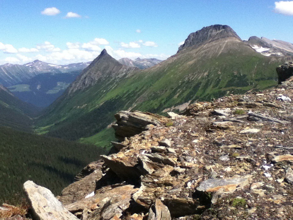 Photo: Jim Swanson · CC BY 2.0Hikes · McBride & Robson Valley
McBride Peak
Alpine walks include McBride Peak and longer ridges toward Teare Mountain. High road access changes hike length.
Moderate / 4 km round trip / 450 m gainRead guide →- Hikes · McBride & Robson Valley
Lucille Mountain
An alpine approach above McBride that passes a snowmobile cabin before continuing to a broad summit with Robson Valley views.
Moderate / 2.7 km · route segmentRead guide → - Waterfalls · McBride & Robson Valley
Beaver / Holmes River Falls
A riverside walk near McBride to a small cascade, with old forest and opportunities to observe migrating salmon in August.
Easy / 2 km round tripRead guide → - Hikes · McBride & Robson Valley
Bell Mountain
Old road leads into alpine meadows; Little Bell and Big Bell are separate objectives beyond the campsite.
Moderate / 8-12 kms from campsite depending on destinationRead guide →