Cut Thumb Falls
A creekside forest walk north of Mackenzie ends at an unfenced waterfall. The first half is comparatively level, while the latter half climbs and descends through a series of switchbacks.
Sources reviewed . This is a research date, not a trail inspection.
The locations GPX contains sourced points with their recorded roles. It contains no trail track or connecting route.
- Distance
- 5.1 kmRound trip
- Elevation gain
- 208 mPublished route measurement
- Walking time
- Not published
- Difficulty
- Easyout-and-back
Map & elevation
Elevation profile
A full-route elevation profile is not available yet.
A reusable trail line has not yet been verified for this outing. Any location pin shows the published location described above; it does not draw the hike or establish a navigable approach.
Getting there & parking
Travel north from Mackenzie on Highway 39 and continue straight onto the gravel forest-road approach.
At the stop sign near Parsnip West FSR km 12, turn right. Continue to the bridge near km 32 and park beyond it on the right.
Parking: Park on the right just beyond the bridge near Parsnip West FSR km 32. The walking start is back across the bridge.
Full access notes
From Mackenzie continue north on Highway 39 until pavement gives way to gravel, staying on the main road. At the stop sign at the 12 km point on Parsnip West FSR, turn right. Follow the road to the bridge near the 32 km sign and park just beyond it on the right, clear of the travelled road. The May 2021 steward brochure lists Resource Road Channel 1; confirm current posted radio requirements and watch for industrial traffic. Walk back south across the bridge to the small trail sign on the east, or left, side of the road.
Map position: 55.55574, -123.28275 · published destination reference. The District of Mackenzie 2025 tourism guide prints this coordinate beside Cut Thumb Falls. It does not identify it as the parking area or trailhead; retain it only as a destination reference, and use the MORATA road/bridge directions for approach planning.
On the trail
Walk back south across the bridge. Find the small trail sign on the left, on the east side of the road.
Follow the bench on the south side of Cut Thumb Creek, then climb the switchbacks as the path leaves the immediate creek bank.
Descend the final steep switchbacks toward the falls. The maintained trail ends where the falls come into view.
Full route notes
Follow the path along the south side of Cut Thumb Creek. The first half stays on a bench above the water with creek views and occasional wet ground. Farther along, the trail moves away from the creek and gains height through rolling terrain; larger slopes use switchbacks. The final descent returns to the creek and falls and is steeper. The maintained path ends when the falls come into view, so choose a secure viewing position rather than continuing blindly onto creek banks. There is no safety fence and the cutbanks can be unstable. Retrace the same 5.1 km return route; do not cut across switchbacks on the climb out.
The way back
Retrace the approach, including the climb back from the waterfall. The creek cutbanks are steep and may be unstable; the falls have no safety barrier.
Distance and elevation source notes
Source comparison: 2025 visitor-guide itinerary; 5.1 km; 192 m ascent; out-and-back scope. A source edition, network range or unresolved start/endpoint is not a separate route.
Source comparison: 2021 MORATA brochure; 5.1 km; 208 m ascent; unlabelled total scope. A source edition, network range or unresolved start/endpoint is not a separate route.
Conditions & seasons
Season-specific access has not been established in this guide. Read the dated notices and original land-manager information before choosing a departure date.
These are dated research notes. Open the trip planner for current available weather and advisory feeds; no alert found does not establish that a trail or road is open.
Camping & overnight plans
On-route camping permission has not been established for this outing. Check the relevant land manager before planning an overnight stay; a mapped lake, cabin or previous tent location does not confirm permission.
Photos of Cut Thumb Falls
A photograph with confirmed reuse permission has not yet been added to this guide.
Original photo galleries
These galleries stay on their photographers’ original websites.
- Cut Thumb Falls — local trail association photographs (opens original source) · Mackenzie Outdoor Route & Trail Association
Take this guide with you
Choose a trip pack or an available individual sheet for your map case.
Sources, dates & research notes
Descriptions are written for this guide from the linked evidence. Source review dates, published reports and field observations can differ. Photographs and route lines retain their own attribution and reuse terms.
- https://static1.squarespace.com/static/5cb51544b10f250a5432a780/t/60a333992b34d90526487ecc/1621308329526/Cut%2BThumb%2BFalls-Trail%2BBrochure-May%2B2021.pdf (opens original source)
- https://districtofmackenzie.ca/wp-content/uploads/2025/06/DOM-2025TourismGuide-Final-Web2.pdf (opens original source)
- https://districtofmackenzie.ca/wp-content/uploads/2025/12/DOM-2025TourismGuide-Final-Web2-WithMap-2.pdf (opens original source)
- https://www.morata.ca/trailmaps-brochures (opens original source)
Details still being researched
- No site-specific dog rule verified in reviewed sources.
- No on-route/designated camping permission verified.
Nearby and related guides
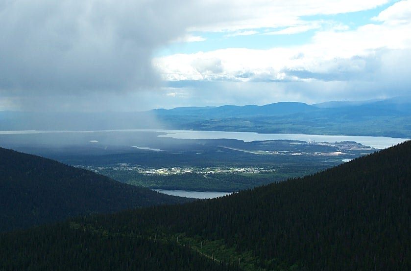 Photo: RTBoughner at English Wikipedia · Public domainViewpoints · Mackenzie & Parsnip
Morfee Mountain alpine viewpoint
A road-accessed alpine viewpoint above Mackenzie looks toward the Rockies, Williston Lake and the town. This record describes the viewpoint visit; named walking and mountain-bike…
Read the access and route notesRead guide →- Hikes · Mackenzie & Parsnip
Gantahaz Lake shoreline trail
A lakeshore loop close to Mackenzie offers a gentle walk and picnic setting. It is also used for winter recreation, but the walking trail and the frozen lake are different…
4.3 km loop / 76 m gainRead guide → 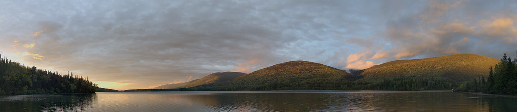 Photo: shootfirstthinklater · CC BY-NC 4.0 · Noncommercial onlyHikes · Mackenzie & Parsnip
Morfee Lake Perimeter
A substantial forest loop circles Morfee Lake, with connections to beaches, the narrows and a separate Morfee Falls branch. It is a longer walk than a quick visit to the…
15 km loopRead guide →- Waterfalls · Mackenzie & Parsnip
Morfee Falls
A branch from the Morfee Lake Perimeter Trail reaches a creekside view of Morfee Falls. The official walking endpoint is a view from the creek, while reaching the base involves…
Easy / 8 km round tripRead guide → - Viewpoints · Mackenzie & Parsnip
Barb Dahl Trail
A short 2.2 km loop in John Dahl Regional Park, with forest walking and viewpoints toward Morfee Lake. It forms part of a connected park network rather than an isolated mountain…
2.2 km loopRead guide → - Viewpoints · Mackenzie & Parsnip
Dick Dauphinee Trail
A short 1.5 km loop in John Dahl Regional Park, with forest walking and viewpoints toward Morfee Lake. It forms part of a connected park network rather than an isolated mountain…
1.5 km loopRead guide →