Waterfalls near Prince George: walks and road trips
Some waterfall visits from Prince George are short stops; others involve a substantial drive on gravel or resource roads. Compare the approach and the walking route separately. The height of a waterfall is not the elevation gain of the hike.
This collection draws from local trail descriptions, municipal information and BC Parks. Destinations are grouped by the kind of visit, not ranked by visitor numbers. The linked guides retain conflicting estimates and access limitations.
Collection reviewed October 19, 2026. This is a research review, not a field inspection; individual guides retain their own source dates.
Forest walks to a waterfall
Expect the final approach to be rougher or steeper than the opening forest path. Older bridge and road reports do not establish present conditions.
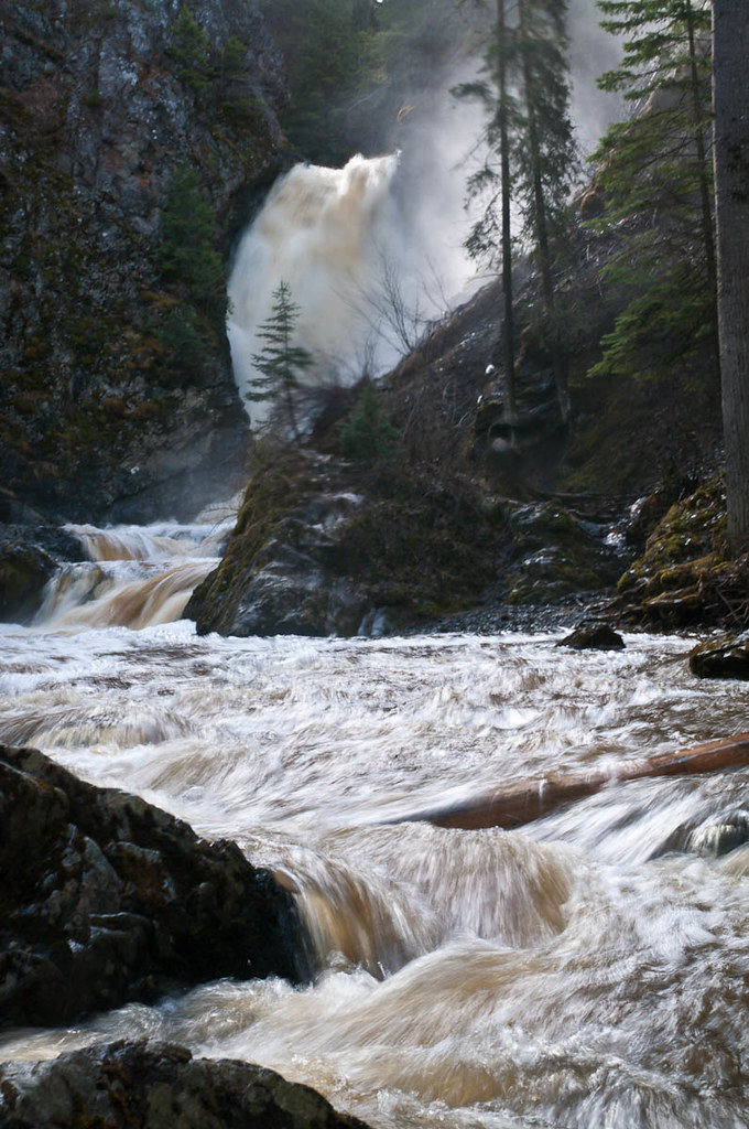
Hixon Falls in spring runoff, photographed on 2 May 2012. Flow and water colour vary with weather and season.Hixon Falls.jpg (opens original source) · John Freeland · CC BY 2.0 (opens original source) · 2012-05-02. Downloaded provider display size; no local image edits. Display may crop the view.
A short creekside outing south of Prince George. Read the gravel-road junction notes and the older report of a damaged footbridge; the close approach can involve slippery footing.
Walking route
0.24 km · Round trip
Elevation gain
Not establishedCumulative ascent for this outing has not been established.
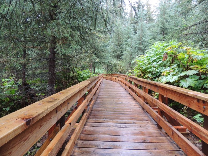
Combine the longer cedar-forest route with a waterfall visit east of Prince George. The short universal-access boardwalk is a separate outing and does not include the waterfall.
Walking route
Trip basis unconfirmed
Elevation gain
Not establishedThe source lists 105 m, but its relationship to a complete selected outing is not established.
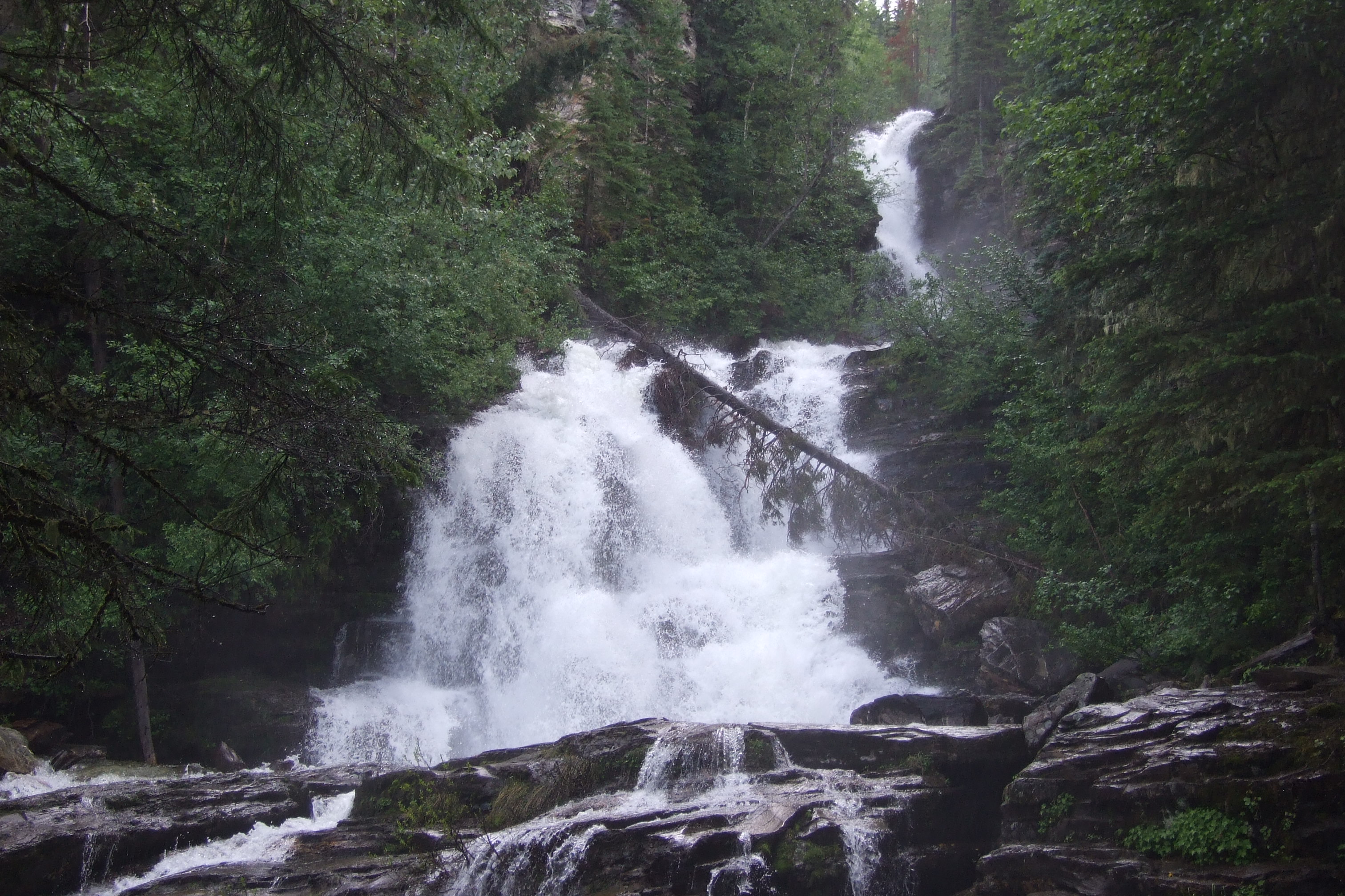
A day-use stop beside Highway 97 in Pine Pass, with a fenced viewing area and picnic facilities. BC Parks describes no developed hiking trail here; stay behind the viewing fence and bring drinking water.
Walking route
Trip basis unconfirmed
Elevation gain
Not establishedCumulative ascent for this outing has not been established.
Check current road and park notices before leaving, carry the directions offline, and keep the return journey in your daylight plan. A dry-weather photograph does not show current creek flow or footing.
Sources behind these selections
Each destination guide includes the full evidence for its measurements and access. These are selected land-manager and local trail references used for this collection.