Prince George has several ways to spend a shorter day outside without committing to an alpine hike. This selection separates defined outings from parks where you choose your own length. Check surface conditions and entrances carefully when planning for children, strollers or mobility needs.
These choices emphasize gentler terrain and flexible outings described by municipal, park and local trail sources. They are not an accessibility certification; read the specific route’s surface and access information.
Collection reviewed October 19, 2026. This is a research review, not a field inspection; individual guides retain their own source dates.
Choose a defined outing
These links open the actual route described, keeping its distance and planning notes together.
A farther drive east for the dedicated universal-access boardwalk. Its approximately 450 m one-way length is distinct from the longer forest route and waterfall visit.
Walking route
0.9 km · Round trip
Elevation gain
Approx. 30 mTerrain-model estimate; not a surveyed measurement.
River paths and connecting bridges allow a flexible outing near the city. Surfaces and entrances vary; follow the signed park paths rather than railway or river-edge shortcuts.
Walking route
Trip basis unconfirmed
Elevation gain
Not establishedCumulative ascent for this outing has not been established.
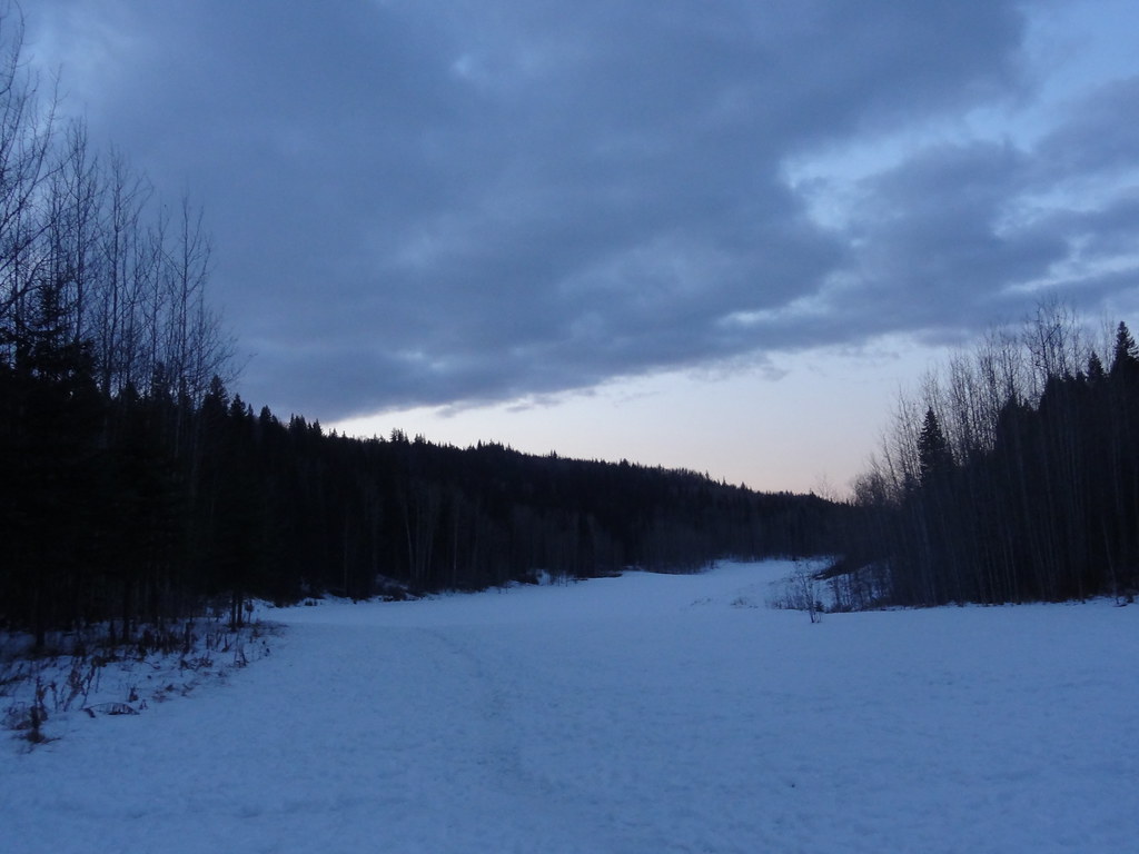
Snow covers the open meadow at Moore’s Meadow, photographed on 8 November 2012. This historical scene does not show current trail conditions.DSC03258 (opens original source) · Andrew Kurjata · CC BY-NC-SA 2.0 (opens original source) · 2012-11-08. Downloaded Flickr-provided display size; no local image edits. Display may crop the view. Adaptations retain the image licence. · Noncommercial only
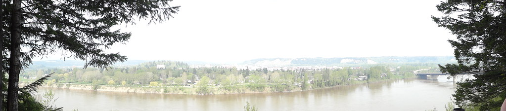
Panoramic view across the Fraser River from LC Gunn, photographed on 11 May 2013.DSC04589 (opens original source) · Andrew Kurjata · CC BY-NC-SA 2.0 (opens original source) · 2013-05-11. Provider display size downloaded; no local edits. Display may crop the view. Adaptations retain the image licence. · Noncommercial only
Elevated Fraser River viewpoints allow an out-and-back visit of your chosen length. The full corridor return is longer than a quick viewpoint stop, and the cutbank edge requires care.
Walking route
7 km · Round trip
Elevation gain
85 mPublished route measurement Published ascent for the full return outing
For mobility planning, look for documented surface, grade, width, barriers and seasonal maintenance rather than relying on the word easy. When those details are missing, confirm them with the land manager before travelling.
Sources behind these selections
Each destination guide includes the full evidence for its measurements and access. These are selected land-manager and local trail references used for this collection.