Ormond Lake Trail
A historical lake route affected by the 2018 Shovel Lake Fire. The municipal guide lists it as indefinitely closed; it should remain a planning reference until reopening and safe access are confirmed.
Sources reviewed . This is a research date, not a trail inspection.
- Distance
- Not publishedTrip basis unconfirmed
- Elevation gain
- Not establishedCumulative ascent for this outing has not been established.
- Walking time
- Not published
- Difficulty
- Not rated
Map & elevation
Elevation profile
A full-route elevation profile is not available yet. The mapped paths have not been verified as one continuous outing.
Choose a specific route where available. Individual map fragments are not shown as separate hike stages.
Government reference trail. Government Ormond Creek corridor sections are shown near Ormond Lake. They do not define one lake-walk itinerary. Line source (opens original source).
Getting there & parking
The 2024 Fraser Lake hiking brochure provides no current usable driving instructions for Ormond Lake Trail because it lists the route as closed indefinitely after the Shovel Lake Fire. Do not substitute the nearby Ormond Creek Canyon Side Trail entrance or follow a lake-centre pin as a trailhead. Seek a current reopening notice from the responsible manager before planning an approach.
Map position: 54.17139, -124.69833 · named lake reference point (not a trailhead). BC Gazetteer: Ormond Lake | Lake | 54 10 16 N | 124 41 53 W | WGS84 | mapsheet 93K/2 Official named-feature location, not parking or a verified route start. This point supports regional orientation and area forecasts; road directions and distance-to-trailhead must use a separately verified access point.
On the trail
No current open hiking itinerary is established in the reviewed municipal source. The separate Ormond Creek Canyon Side Trail has its own entrance and route description and must not be relabelled as access to Ormond Lake. Fire-affected terrain can have fallen trees, unstable standing timber and lost trail tread, so an old route line is not evidence of safe access. This record remains useful for recognizing the closure and distinguishing the similarly named routes; a route-ready guide requires a verified reopening and a new trail assessment.
Conditions & seasons
Guide reports indefinite closure after 2018 fire; verify reopening before planning.
These are dated research notes. Open the trip planner for current available weather and advisory feeds; no alert found does not establish that a trail or road is open.
Camping & overnight plans
On-route camping permission has not been established for this outing. Check the relevant land manager before planning an overnight stay; a mapped lake, cabin or previous tent location does not confirm permission.
Photos of Ormond Lake Trail
A photograph with confirmed reuse permission has not yet been added to this guide.
Take this guide with you
Choose a trip pack or an available individual sheet for your map case.
Sources, dates & research notes
Descriptions are written for this guide from the linked evidence. Source review dates, published reports and field observations can differ. Photographs and route lines retain their own attribution and reuse terms.
- https://www.fraserlake.ca/sites/26/files/2024-08/Fraser_Lake_Hiking_TrailsV2.pdf (opens original source)
- https://catalogue.data.gov.bc.ca/dataset/bc-geographical-names (opens original source)
- https://catalogue.data.gov.bc.ca/dataset/d92224ee-03ef-4904-be53-b677d8e01ac4/resource/69738aa8-2cc0-4975-aec6-4dc2e30990bf/download/bc-gazetteer-2026-08-12.csv (opens original source)
- https://delivery.maps.gov.bc.ca/arcgis/rest/services/whse/bcgw_pub_whse_forest_tenure/MapServer/9/query?f=geojson&where=RMF_SKEY%3D16503 (opens original source)
- https://delivery.maps.gov.bc.ca/arcgis/rest/services/whse/bcgw_pub_whse_forest_tenure/MapServer/9/query?f=geojson&where=RMF_SKEY%3D16504 (opens original source)
Details still being researched
- gainM
- distanceKm
- directions
- dogs
- accessibility
- camping
Nearby and related guides
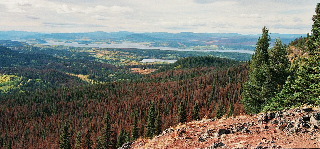 Photo: Themightyquill · CC BY-SA 3.0Viewpoints · Vanderhoof & Fraser Lake
Fraser Mountain
A steep forest climb reaches several viewpoints above Fraser Lake and the former fire-lookout site. The old tower is no longer a reliable landmark or attraction: a later source…
Moderate / 8.2 km round tripRead guide →- Camping · Vanderhoof & Fraser Lake
Beaumont campground
A Fraser Lake camping and beach stop beside Highway 16, with a short interpretive walk through local natural and historical features. It is separate from the mountain hikes around…
Camping destination · access & overnight informationRead guide → - Hikes · Vanderhoof & Fraser Lake
Black Point Trail
A historical forest trail descends to Francois Lake and continues along shore to Black Point. The municipal brochure still carries an indefinite closure after the 2018 fires, so…
3 km round tripRead guide → - Camping · Fort St. James
Sowchea Bay campground
A Stuart Lake campground west of Fort St. James, with many sites near the water. It is primarily a lake camping destination rather than a documented long hiking route.
Camping destination · access & overnight informationRead guide → - Camping · Fort St. James
Paarens Beach campground
A Stuart Lake campground with a broad beach and boat launch, convenient for exploring the Fort St. James area. Nearby mountain hikes require a separate drive and should not be…
Camping destination · access & overnight informationRead guide → - Waterfalls · Vanderhoof & Fraser Lake
Cabin Creek Falls
A short, mostly level forest walk reaches the upper view of a small waterfall off Holy Cross FSR. The easy approach ends beside slippery rock, and the lower falls are not a safe…
1 km round tripRead guide →