Cabin Creek Falls
A short, mostly level forest walk reaches the upper view of a small waterfall off Holy Cross FSR. The easy approach ends beside slippery rock, and the lower falls are not a safe scramble destination.
Sources reviewed . This is a research date, not a trail inspection.
- Distance
- 1 kmRound trip
- Elevation gain
- Not establishedCumulative ascent for this outing has not been established.
- Walking time
- Not published
- Difficulty
- Not rated
Map & elevation
Partial elevation profile
Mapped portion · walking direction unconfirmed · 0.16 km
This chart covers only part of the route. It does not establish the full hike or a return journey.
Coverage and elevation sources
0.16 km along source section 1 of 1, in its mapped direction. Approximate 90 m terrain model along this mapped section. Separate sections are not joined. This chart does not measure total trail ascent or establish current access; use the guide’s published outing measurements.
Copernicus GLO-90 terrain elevations via Open-Meteo (CC BY4.0); linework: Open Database License (ODbL) 1.0 · checked 2026-10-18 · CC BY4.0 elevation data; Open Database License (ODbL) 1.0 linework. Copernicus DEM 2021 GLO-90 via Open-Meteo. Linework source: https://www.openstreetmap.org/way/197709232. Sampled and rounded for display.
Mapped named trail. Shows the named source trail. The full published outing, return journey and current on-the-ground alignment are not independently established by this line. Line source (opens original source).
Getting there & parking
From the Fraser Lake visitor centre, drive east on Highway 16 for 5.7 km and turn south onto Holy Cross FSR.
Continue approximately 31.5 km to the signed trail entrance on the left.
Parking: The municipal guide describes gravel space beside the trail sign, not a developed car park. Keep the travelled industrial road clear.
Full access notes
From the Fraser Lake visitor centre, head east on Highway 16 for 5.7 km and turn south onto Holy Cross Forest Service Road. Continue approximately 31.5 km to the trail sign near the treeline on the left. The municipal guide describes a gravel stopping area beside the sign rather than a developed parking lot. Keep clear of logging traffic and do not use its implausibly short published driving-time estimate for this 37.2 km approach.
Map position: 53.83706, -124.84407 · recreation project location. Source-published recreation project point; not verified parking or trailhead.
On the trail
Follow the orange diamonds through the grassy entrance and forest, then beside the creek.
At the fork near the falls, remain on the upper-viewpoint approach; the guide says the base has no safe access.
Full route notes
Follow the orange-diamond markers through the grassy entrance and lodgepole-pine forest, then along the creek toward the waterfall. The approach is approximately 500 m one way. Watch for the fork near the falls and remain on the route to the upper viewpoint; the municipal guide specifically warns that taking the wrong branch can lead toward the base, where it identifies no safe access. Wet rocks beside the creek and drop require care despite the gentle initial grade. Return on the same path and supervise children closely near the water.
The way back
The published approach is about 500 m, making roughly 1 km when retraced.
Terrain: gravel.
Distance and elevation source notes
Source comparison: Published itinerary; 0.5 km; trail to falls; return basis to verify scope. This describes the main outing, or an unresolved source estimate, rather than a separate route.
Conditions & seasons
Season-specific access has not been established in this guide. Read the dated notices and original land-manager information before choosing a departure date.
These are dated research notes. Open the trip planner for current available weather and advisory feeds; no alert found does not establish that a trail or road is open.
Camping & overnight plans
On-route camping permission has not been established for this outing. Check the relevant land manager before planning an overnight stay; a mapped lake, cabin or previous tent location does not confirm permission.
Photos of Cabin Creek Falls
A photograph with confirmed reuse permission has not yet been added to this guide.
Original photo galleries
These galleries stay on their photographers’ original websites.
- Cabin Creek Falls — original photographs (opens original source) · Hiking Prince George / T&T Adventures
Take this guide with you
Choose a trip pack or an available individual sheet for your map case.
Sources, dates & research notes
Descriptions are written for this guide from the linked evidence. Source review dates, published reports and field observations can differ. Photographs and route lines retain their own attribution and reuse terms.
- https://www.fraserlake.ca/sites/26/files/2024-08/Fraser_Lake_Hiking_TrailsV2.pdf (opens original source)
- https://hiking.princegeorge.tech/hiking-prince-george-west/ (opens original source)
- https://delivery.maps.gov.bc.ca/arcgis/rest/services/mpcm/bcgwpub/MapServer/280 (opens original source)
- https://hiking.princegeorge.tech/cabin-creek-falls/ (opens original source)
OpenStreetMap line references (1)
These contributor-mapped features support the map geometry. They are separate from the written access and route sources.
Details still being researched
- gainM
- dogs
- accessibility
- camping
- seasonal
Nearby and related guides
- Camping · Vanderhoof & Fraser Lake
Greer Creek recreation site
A small four-site camping area on the Nechako River below the mouth of Greer Creek. This river campsite is separate from the Greer Creek Falls hiking trailhead on Kluskus FSR.
Camping destination · access & overnight informationRead guide → - Hikes · Vanderhoof & Fraser Lake
Black Point Trail
A historical forest trail descends to Francois Lake and continues along shore to Black Point. The municipal brochure still carries an indefinite closure after the 2018 fires, so…
3 km round tripRead guide → - Waterfalls · Vanderhoof & Fraser Lake
Cheslatta Falls
A forest path follows the Cheslatta River corridor to a cliff-side waterfall viewpoint. The destination is an exposed edge above moving water, making this a more consequential…
2.4 km round tripRead guide → - Viewpoints · Vanderhoof & Fraser Lake
Nechako Canyon
A protected volcanic gorge preserves the dry Grand Canyon of the Nechako near Kenney Dam. It is a landscape destination with no developed canyon hiking circuit; the documented…
Read the access and route notesRead guide → 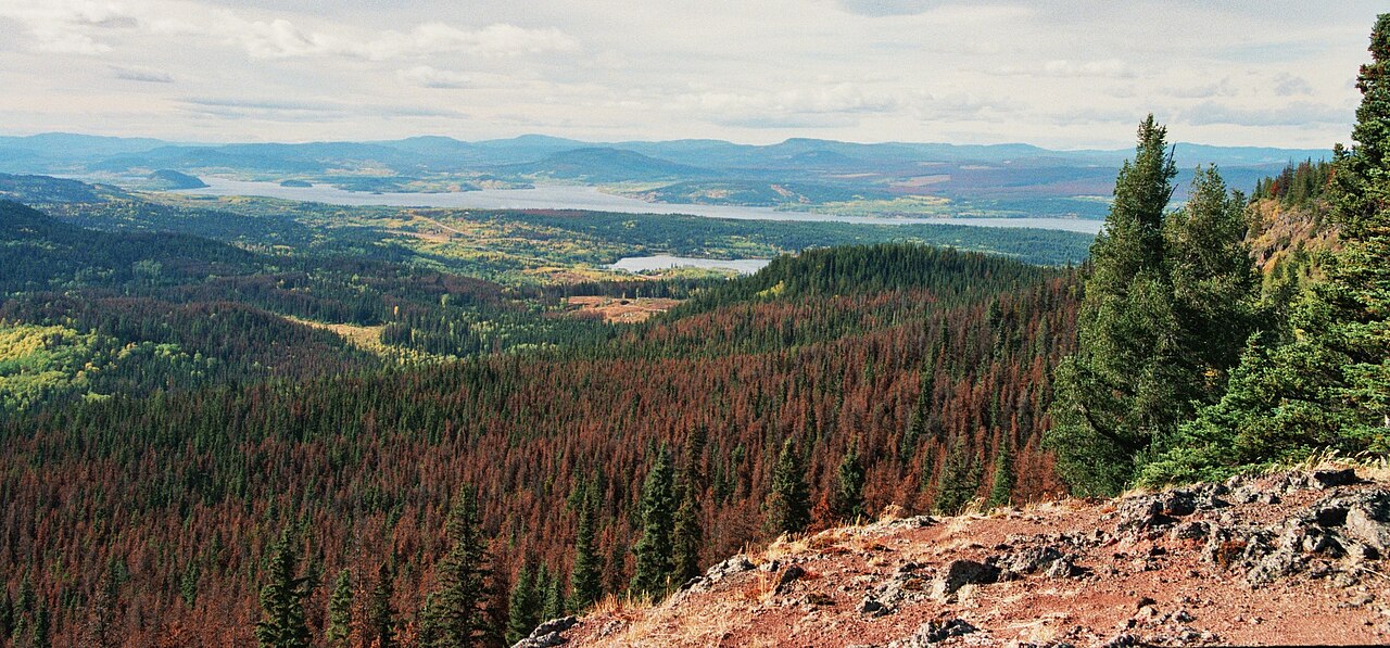 Photo: Themightyquill · CC BY-SA 3.0Viewpoints · Vanderhoof & Fraser Lake
Fraser Mountain
A steep forest climb reaches several viewpoints above Fraser Lake and the former fire-lookout site. The old tower is no longer a reliable landmark or attraction: a later source…
Moderate / 8.2 km round tripRead guide →- Camping · Vanderhoof & Fraser Lake
Beaumont campground
A Fraser Lake camping and beach stop beside Highway 16, with a short interpretive walk through local natural and historical features. It is separate from the mountain hikes around…
Camping destination · access & overnight informationRead guide →