Trailhead access reported blocked
The Ramblers page reports a Gregg Creek FSR washout preventing access. The notice has no publication date, and reopening has not been confirmed.
Caledonia Ramblers (opens original source)A forest ridge trail reaches viewpoints and a small day-use hut, but the published road approach is affected by a washout and a removed bridge. Resolve access before treating this as an available outing.
Sources reviewed . This is a research date, not a trail inspection.
The Ramblers page reports a Gregg Creek FSR washout preventing access. The notice has no publication date, and reopening has not been confirmed.
Caledonia Ramblers (opens original source)The club reports Gregg Creek FSR washout blocks trailhead access. No reopening or observation date is supplied. This page check does not establish current road access.
Caledonia Ramblers (opens original source)Mapped portion · walking direction unconfirmed · 4.52 km
This chart covers only part of the route. It does not establish the full hike or a return journey.
4.52 km along source section 1 of 1, in its mapped direction. Approximate 90 m terrain model along this mapped section. Separate sections are not joined. This chart does not measure total trail ascent or establish current access; use the guide’s published outing measurements.
Copernicus GLO-90 terrain elevations via Open-Meteo (CC BY4.0); linework: Open Government Licence – British Columbia · checked 2026-10-18 · CC BY4.0 elevation data; Open Government Licence – British Columbia linework. Copernicus DEM 2021 GLO-90 via Open-Meteo. Linework source: https://delivery.maps.gov.bc.ca/arcgis/rest/services/whse/bcgw_pub_whse_forest_tenure/MapServer/9. Sampled and rounded for display.
Government reference trail. Government reference linework does not resolve the reported blocked road approach; do not use it as evidence that access is open. Line source (opens original source).
The club reports no trailhead access because of a Gregg Creek FSR washout; the notice is undated and no reopening was verified. Its historical approach is Blackwater Road for about 24 km, right onto Pelican Forest Road for 25 km, right onto the 2500 Road for 12 km, then right onto Gregg Creek FSR for 23.5 km and left onto a side road for 5 km. BC Parks separately notes a removed bridge at that 5 km point, adding about 2 km of walking each way and requiring a creek crossing. These instructions describe the former route, not confirmation it is currently passable.
Map position: 53.66611, -123.38278 · named mountain destination. BC Gazetteer: Bobtail Mountain | Mountain | 53 39 57 N | 123 22 58 W | WGS84 | mapsheet 93G/11 Official named-feature location, not parking or a verified route start. This point supports regional orientation and area forecasts; road directions and distance-to-trailhead must use a separately verified access point.
When lawful access is independently confirmed, the historical trail begins southeast of the park and climbs most strongly in its first section before rolling through forest and small wetlands. BC Parks describes red paint and flagging, with two short side paths to south-facing views, the first at Bobtail’s actual summit. The route continues to a north-facing viewpoint and hut. Published lengths differ between a 5 km one-way park description and a 6 km one-way club description; a bridge-related road walk is additional. Fallen timber is reported and present trail condition is uncertain. Return along the same route, and do not treat the hut as overnight accommodation.
The historical cabin outing is 12 km return from its original hiking start. A washed-out approach and removed bridge remain unresolved, so additional road walking and a safe creek crossing cannot be assumed.
12 km
363 m
Blowdown and washout access restrictions reported; current reopening not verified.
These are dated research notes. Open the trip planner for current available weather and advisory feeds; no alert found does not establish that a trail or road is open.
The viewpoint hut is described for day use. Current overnight camping permission and hut condition have not been established.
A photograph with confirmed reuse permission has not yet been added to this guide.
Choose a trip pack or an available individual sheet for your map case.
Descriptions are written for this guide from the linked evidence. Source review dates, published reports and field observations can differ. Photographs and route lines retain their own attribution and reuse terms.
A short woodland connection links Norman Lake’s beach with quieter Dahl Lake. A rougher north-shore path offers a longer exploration, but this is a day-use park with no overnight…
Easy / TBARead guide →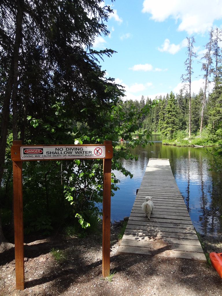 Photo: Andrew Kurjata · CC BY-NC-SA 2.0 · Noncommercial onlyWalks · Vanderhoof & Fraser Lake
A small lakeside park with forest and esker paths, two picnic areas and a swimming beach. It suits a gentle walk combined with a lakeside stop west of Prince George.
3 km of trails · Choose your walking routeRead guide →A semi-remote lakeside camping area reached along the Pelican forest-road system. The final approach branches from the resource road, so a precise road reference matters more than…
Camping destination · access & overnight informationRead guide →Two small campsites serve connected fishing lakes southwest of Prince George. Despite the name, these are on the Blackwater road corridor, not in the town of Mackenzie.
Camping destination · access & overnight informationRead guide →A private campground on Blackwater Road, separate from the day-use provincial park at West Lake. Its prior published 2026 season has ended, and future availability remains…
Camping destination · access & overnight informationRead guide →A lake-and-forest day trip southwest of Prince George, with a swimming beach, picnic areas and paths through the wetlands north of the parking area.
Read the access and route notesRead guide →