Dahl Lake Provincial Park
A short woodland connection links Norman Lake’s beach with quieter Dahl Lake. A rougher north-shore path offers a longer exploration, but this is a day-use park with no overnight camping.
Sources reviewed . This is a research date, not a trail inspection.
The locations GPX contains sourced points with their recorded roles. It contains no trail track or connecting route.
- Distance
- TBATrip basis unconfirmed
- Elevation gain
- Not establishedgentle slopes, up to 300 m
- Walking time
- 3 hours
- Difficulty
- EasyThere and Back
Map & elevation
Elevation profile
A full-route elevation profile is not available yet.
A reusable trail line has not yet been verified for this outing. Any location pin shows the published location described above; it does not draw the hike or establish a navigable approach.
Getting there & parking
From Prince George travel approximately 43 km west on Highway 16, then turn south onto Norman Lake Road and continue about 14.5 km. Watch for the park turn on the left beside the community welcome sign. Parking is at the east end of Norman Lake. An older club page mistakenly says east on Highway 16; the BC Parks westbound approach is the authoritative direction here.
Map position: 53.77500, -123.29583 · park / protected area reference point (not a trailhead). BC Gazetteer: Dahl Lake Park | Provincial Park | 53 46 29 N | 123 17 44 W | WGS84 | mapsheet 93G/14 Official named-feature location, not parking or a verified route start. This point supports regional orientation and area forecasts; road directions and distance-to-trailhead must use a separately verified access point.
On the trail
From the beach at Norman Lake, walk to its southern end and locate the approximately 300 m trail connecting to Dahl Lake. Return the same way for a short visit, or follow the rougher route along Dahl Lake’s north shore only as far as conditions and navigation allow. The short connector’s distance does not describe the longer shoreline extension. Canoe access is a separate option: it uses Norman Lake and the connecting channel rather than the walking trail. Bring drinking water, stay on established paths around the wetlands and respect the park’s prohibition on fires and overnight camping.
Terrain: rough route.
Distance and elevation source notes
gentle slopes, up to 300 m
Conditions & seasons
Snowshoeing and cross-country skiing use park trails without developed tracks. Do not assume the lake ice is part of the walking route.
These are dated research notes. Open the trip planner for current available weather and advisory feeds; no alert found does not establish that a trail or road is open.
Camping & overnight plans
Day use only. Overnight camping and fires are prohibited.
Photos of Dahl Lake Provincial Park
A photograph with confirmed reuse permission has not yet been added to this guide.
Surrounding area and context
These photographs provide context; they do not establish the appearance of this selected route or facility.
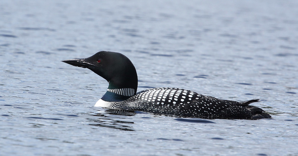
Take this guide with you
Choose a trip pack or an available individual sheet for your map case.
Sources, dates & research notes
Descriptions are written for this guide from the linked evidence. Source review dates, published reports and field observations can differ. Photographs and route lines retain their own attribution and reuse terms.
- https://caledoniaramblers.ca/trails/dahl-lake-provincial-park (opens original source)
- https://caledoniaramblers.ca/trails?page=1 (opens original source)
- https://bcparks.ca/dahl-lake-park/ (opens original source)
- https://catalogue.data.gov.bc.ca/dataset/bc-geographical-names (opens original source)
- https://catalogue.data.gov.bc.ca/dataset/d92224ee-03ef-4904-be53-b677d8e01ac4/resource/69738aa8-2cc0-4975-aec6-4dc2e30990bf/download/bc-gazetteer-2026-08-12.csv (opens original source)
Details still being researched
- gainM
- distanceKm
- dogs
- accessibility
- seasonal
Nearby and related guides
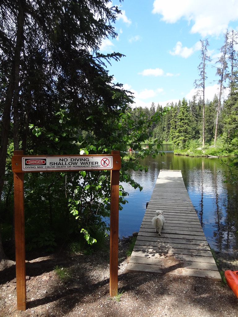 Photo: Andrew Kurjata · CC BY-NC-SA 2.0 · Noncommercial onlyWalks · Vanderhoof & Fraser Lake
Berman Lake Regional Park
A small lakeside park with forest and esker paths, two picnic areas and a swimming beach. It suits a gentle walk combined with a lakeside stop west of Prince George.
3 km of trails · Choose your walking routeRead guide →- Camping · Blackwater & southwest
West Lake Campground and RV Park
A private campground on Blackwater Road, separate from the day-use provincial park at West Lake. Its prior published 2026 season has ended, and future availability remains…
Camping destination · access & overnight informationRead guide → - Parks · Blackwater & southwest
West Lake Provincial Park
A lake-and-forest day trip southwest of Prince George, with a swimming beach, picnic areas and paths through the wetlands north of the parking area.
Read the access and route notesRead guide → - Walks · Bear Lake & northern lakes
Ness Lake Regional Park
A small lake park with a beach and short walking network near Ness Lake Road. It is useful for a gentle woodland walk followed by a picnic or lakeside visit.
1.2 km of trails · Choose your walking routeRead guide → 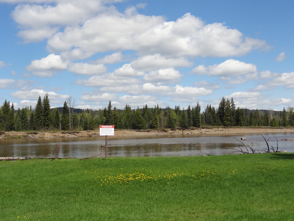 Photo: Andrew Kurjata · CC BY-NC-SA 2.0 · Noncommercial onlyWalks · Prince George surroundings
Wilkins Regional Park
Gentle paths through large cottonwoods lead beside the Nechako River near Miworth. A picnic shelter and open field make it a useful short outing for mixed walking abilities.
EasyRead guide →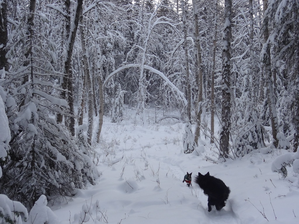 Photo: Andrew Kurjata · CC BY-NC-SA 2.0 · Noncommercial onlyWalks · Prince George
Cranbrook Hill Greenway
A long wooded corridor connecting the UNBC side of Cranbrook Hill with Otway, with access to Forests for the World along the way. It supports short return walks as well as a much…
23 km of trails · Choose your walking routeRead guide →