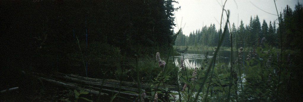
A historic portage crosses the divide between the Pacific and Arctic watersheds near Huble Homestead. It is a linear trail with separate northern and southern access points, so the full traverse needs a transport or return plan.
Sources reviewed . This is a research date, not a trail inspection.
Mapped portion · walking direction unconfirmed · 3.42 km
This chart covers only part of the route. It does not establish the full hike or a return journey.
Coverage and elevation sources
3.42 km along source section 1 of 1, in its mapped direction. Approximate 90 m terrain model along this mapped section. Separate sections are not joined. This chart does not measure total trail ascent or establish current access; use the guide’s published outing measurements.
Mapped named trail. Only a middle section of the named historic portage is mapped. It is about 4.3 km from the guide access pin and does not establish the full connection from that start. Line source (opens original source).
Getting there & parking
The southern approach is about 40 km north of Prince George: leave Highway 97 for Mitchell Road and continue roughly 6 km toward Huble Homestead. The trailhead is on Mitchell Road approximately 750 m back from the homestead parking area. The northern endpoint is at Barney Creek, with a summer parking area beside the trail. Published winter parking is about 150 m up Barney Road, on the left. Confirm which endpoint your navigation destination refers to before leaving the highway.
Map position: 54.26199, -122.62427 · start point of published trip track (parking unverified). Embedded trip-map feature 'Giscome Track 1/20/24 8:59:41 AM': first recorded coordinate [-122.624271, 54.261989].
Point extracted from the original public trip map. A track start is evidence of where recording began, not certification of parking, legal access, road suitability or the complete route.
On the trail
Follow the signed heritage trail across the watershed divide between the two access areas. The published 8.5 km is a point-to-point route, not an 8.5 km loop; an out-and-back covering the whole trail would be substantially longer. A shorter return walk from Mitchell Road is possible by choosing your own turnaround. A June 1, 2026 maintenance report covers the section from Mitchell Road to the BC Hydro power lines only, so do not extend that report to the entire traverse. Preserve the historic corridor and avoid creating shortcuts or disturbing cultural features.
The way back
The 8.5 km published distance is one way between the Mitchell Road and Barney Creek access points. Arrange a pickup or vehicle shuttle, choose a shorter turnaround, or allow about 17 km to walk the entire trail and retrace it.
Distance and elevation source notes
8.5 km
120 m
Conditions & seasons
June 1, 2026 clearance report covers Mitchell Road trailhead to the BC Hydro lines, not necessarily the entire route.
Mitchell Road segment cleared
Vegetation and fallen trees were cleared between Mitchell Road trailhead and the BC Hydro powerline corridor. The report does not describe the entire portage route.
The club describes a separate winter parking position at the northern end, about 150 m up Barney Road on the left.
These are dated research notes. Open the trip planner for current available weather and advisory feeds; no alert found does not establish that a trail or road is open.
On-route camping permission has not been established for this outing. Check the relevant land manager before planning an overnight stay; a mapped lake, cabin or previous tent location does not confirm permission.
Photos of Giscome Portage
A photograph with confirmed reuse permission has not yet been added to this guide.
Surrounding area and context
These photographs provide context; they do not establish the appearance of this selected route or facility.
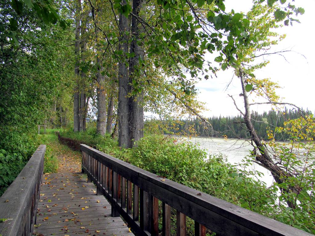
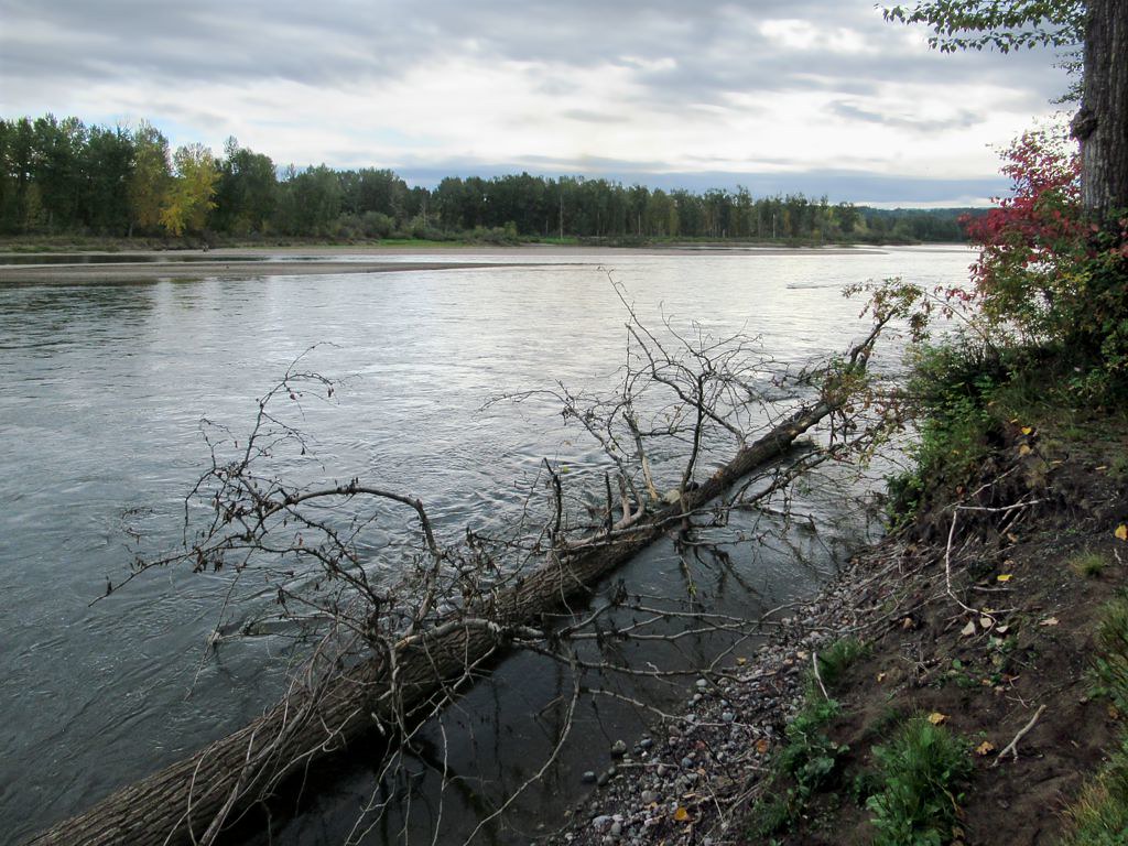
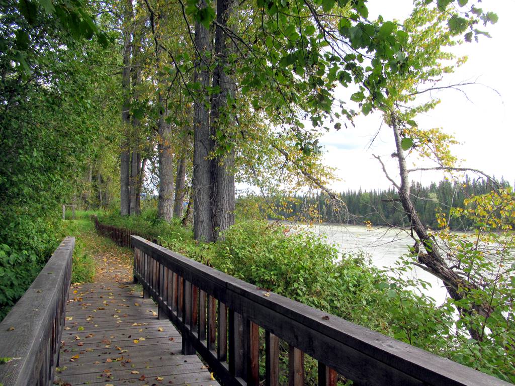
The riverfront path at Huble Homestead, near the southern approach to Giscome Portage, 11 September 2021. This shows the neighbouring historic site, not the full portage trail.Cottonwood Trees (opens original source) · David Stanley · CC BY 2.0 (opens original source) · 2021-09-11. Source display image downloaded without local content edits. Display may crop; adaptations retain the stated image licence.The Fraser River at the historic Big Bend near Huble Homestead and Giscome Portage, 11 September 2021. A view of the historic portage setting, not a photograph of the inland trail.Fraser River Big Bend (opens original source) · David Stanley · CC BY 2.0 (opens original source) · 2021-09-11. Source display image downloaded without local content edits. Display may crop; adaptations retain the stated image licence.
Original photo galleries
These galleries stay on their photographers’ original websites.
Descriptions are written for this guide from the linked evidence. Source review dates, published reports and field observations can differ. Photographs and route lines retain their own attribution and reuse terms.