Viewpoints around
Prince George & northern BC
Find short viewpoints and longer mountain climbs around Prince George and northern BC. A viewpoint can be beside a road, on a forest path or on an exposed summit; use the individual route’s terrain and access details to choose an appropriate trip.
24 of 24 places
Open map search →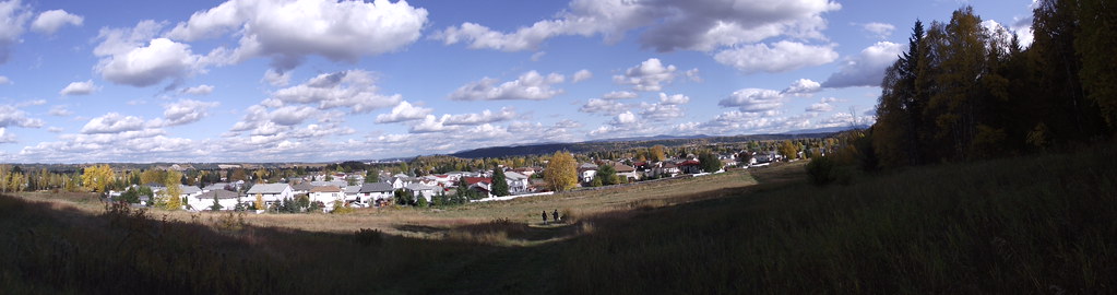 Photo: Andrew Kurjata · CC BY-NC-SA 2.0 · Noncommercial onlyviewpoint · Prince George
Ginter’s Meadow
An open meadow at the foot of Cranbrook Hill offers a short city walk and access to longer climbing paths. It is also a designated off-leash area, with boundaries that differ from…
Trail network · choose a named routeRead guide →- viewpoint · Bear Lake & northern lakes
Pilot Mountain
A gated service road and a separate forest-path option climb to viewpoints above the city. The shorter Pilot Mountain outing is distinct from the longer Nechako Ridge exploration.
Easy · 2 hoursRead guide → - viewpoint · Blackwater & southwest
Fort George Canyon
A forest walk descends from the plateau to a dramatic reach of the Fraser River that once challenged sternwheelers. The steepest work comes on the return climb from the river, and…
Moderate · 13.1 km round trip · 404 m gain · 4-5 hoursAbout 55 min drive from PGRead guide → 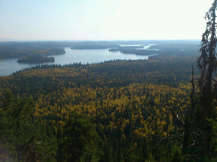 Photo: Andrew Kurjata · CC BY-NC-SA 2.0 · Noncommercial onlyviewpoint · Bear Lake & northern lakes
Teapot Mountain
A compact volcanic summit outing with views around Summit Lake. The trail is being rerouted onto a longer, gentler ascent, so older distance estimates and track lines may describe…
Moderate · 2.8 km loop · 177 m gain · 1–1.5 hours for the viewpoint returnRead guide →- viewpoint · Bear Lake & northern lakes
Coffeepot Mt.
A short climb reaches the rim of an old volcanic landform, with a loop on top and views across the surrounding country. Recent logging has altered the entrance area, so some older…
Moderate · 2.5 km loop · 129 m gain · 2–3 hoursRead guide → - viewpoint · Upper Fraser & Sugarbowl
Longworth Lookout
Steep ascent to ridge and renovated lookout; source reports no summer water near cabin.
Hard · 16 km round trip · 3–5 hours to the cabin in summer; return additional. Winter approach: 5–8+ hours.About 100 min drive from PGRead guide → - viewpoint · Bear Lake & northern lakes
Tacheeda Lookout
A forest climb reaches a lookout above the Tacheeda lake country. Access uses busy resource roads, making current radio and road information part of the trip rather than an…
Moderate · 10 km round trip · 565 m gain · 4–5 hoursRead guide → 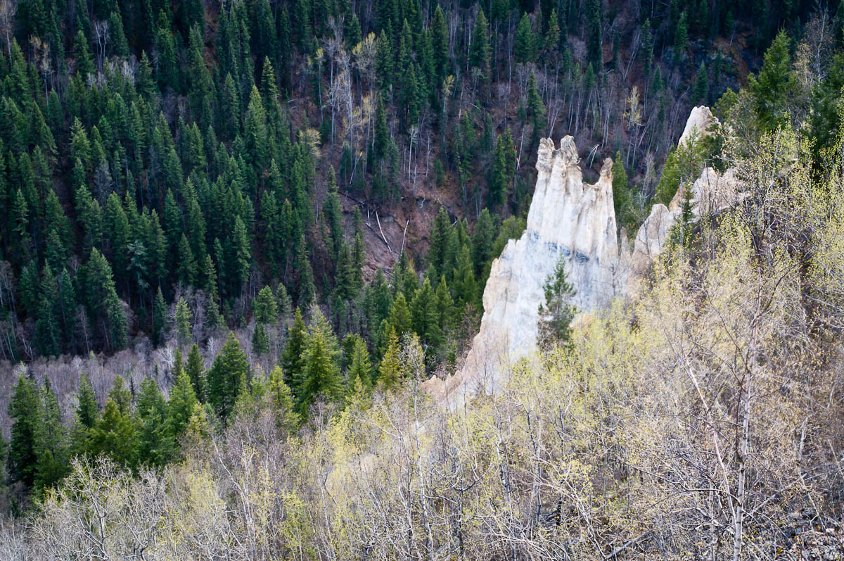 Photo: John Freeland · CC BY 2.0viewpoint · Hixon & Quesnel
The Pinnacles
A maintained path leads to a fenced viewpoint over hoodoos and the Baker Creek valley on the west side of Quesnel. BC Parks places the viewpoint approximately 1 km from the…
Moderate · 2 km round trip · See time notes Official 15 minutes to viewpoint; return time additional.Read guide →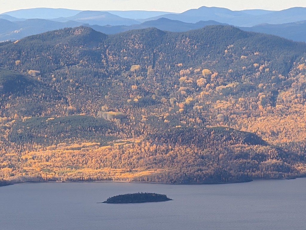 Photo: Dru! · CC BY-NC 4.0 · Noncommercial onlyviewpoint · Fort St. James
Mount Pope / Nak'al
A sustained mountain trail above Fort St. James reaches a summit gazebo overlooking Stuart Lake and the ranges to the north. The park is day use only, with no drinking-water…
Moderate · 13 km round trip · 4-6 hoursRead guide →- viewpoint · Hixon & Quesnel
Sisters Creek Accessible Trail
This short Kersley trail leads from the recreation-centre area toward a viewpoint over the Fraser River. The approximately 800 m route has a packed crushed-gravel surface, mostly…
1.6 km round tripRead guide → 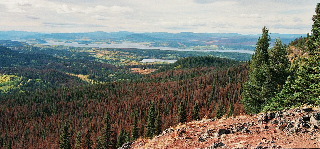 Photo: Themightyquill · CC BY-SA 3.0viewpoint · Vanderhoof & Fraser Lake
Fraser Mountain
A steep forest climb reaches several viewpoints above Fraser Lake and the former fire-lookout site. The old tower is no longer a reliable landmark or attraction: a later source…
Moderate · 8.2 km round trip · 4-6 hoursRead guide →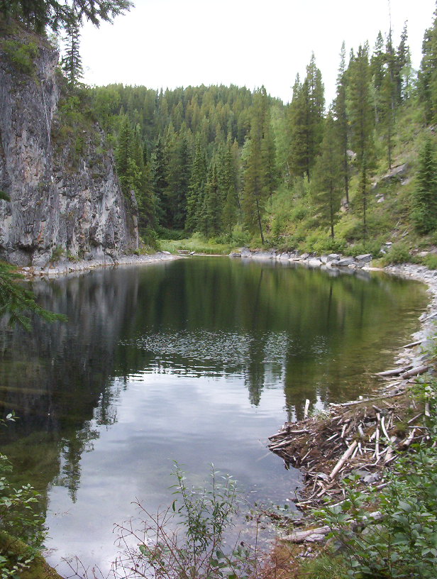 Photo: RPlunk at English Wikipedia · Public domainviewpoint · Tumbler Ridge & Monkman
Stone Corral
Interpretive circuit through limestone features, ponds and cliffs; caves and springs are linked points of interest rather than independent hikes.
Moderate · 3 km round trip · 230 m gain · 2–3 hoursRead guide →- viewpoint · Vanderhoof & Fraser Lake
Cutoff Butte
A short but very steep climb reaches an old volcanic landform and broad views. The drive is substantially longer than the walk, making road planning the largest part of the trip.
2.6 km round tripRead guide → - viewpoint · Vanderhoof & Fraser Lake
Nechako Canyon
A protected volcanic gorge preserves the dry Grand Canyon of the Nechako near Kenney Dam. It is a landscape destination with no developed canyon hiking circuit; the documented…
Read the approach and route notesRead guide → - viewpoint · Mackenzie & Parsnip
Barb Dahl Trail
A short 2.2 km loop in John Dahl Regional Park, with forest walking and viewpoints toward Morfee Lake. It forms part of a connected park network rather than an isolated mountain…
2.2 km loopRead guide → - viewpoint · Mackenzie & Parsnip
Dick Dauphinee Trail
A short 1.5 km loop in John Dahl Regional Park, with forest walking and viewpoints toward Morfee Lake. It forms part of a connected park network rather than an isolated mountain…
1.5 km loopRead guide → 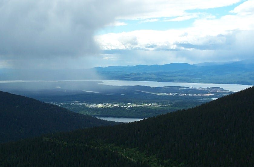 Photo: RTBoughner at English Wikipedia · Public domainviewpoint · Mackenzie & Parsnip
Morfee Mountain alpine viewpoint
A road-accessed alpine viewpoint above Mackenzie looks toward the Rockies, Williston Lake and the town. This record describes the viewpoint visit; named walking and mountain-bike…
Read the approach and route notesRead guide →- viewpoint · Pine Pass, Chetwynd & Peace
Solitude Mountain
A strenuous extension above the Heart Lake viewpoints reaches the Solitude Mountain area. The lower path is easier to identify than the upper route, where brush and indistinct…
HardAbout 187 min drive from PGRead guide → - viewpoint · Pine Pass, Chetwynd & Peace
Mountain Creek Canyon Overlook
A steep forest climb from Heart Lake reaches two viewpoints over Mountain Creek. This is the shorter overlook outing; continuing toward Solitude Mountain is a separate, much less…
3.8 km round trip · 470 m gainAbout 187 min drive from PGRead guide → - viewpoint · Tumbler Ridge & Monkman
Murray Canyon Overlook
Forest approach reaches exposed slopes above the Murray River and follows the valley rim to a turnaround bench.
Easy · 6.5 km round tripRead guide → - viewpoint · Pine Pass, Chetwynd & Peace
Bullhead Mountain
A short, steep climb near Hudson’s Hope follows the powerline corridor toward a BC Hydro facility and views of Williston Lake. Its compact distance still involves substantial…
3.83 km round trip · 420 m gain · 3 hoursRead guide → - viewpoint · Valemount & Mount Robson
Robson Meadows Lookout
Climb to bench overlooking valley.
Moderate · 6 km round trip · 328 m gain · About 2½ hours return for first approach; 2 hours for secondAbout 234 min drive from PGRead guide → - viewpoint · Valemount & Mount Robson
Swift Creek Lookout
Creekside first kilometre then steep climb to viewpoint.
Moderate · 3.6 km round trip · 37 m gain · 1–1½ hours returnAbout 240 min drive from PGRead guide → 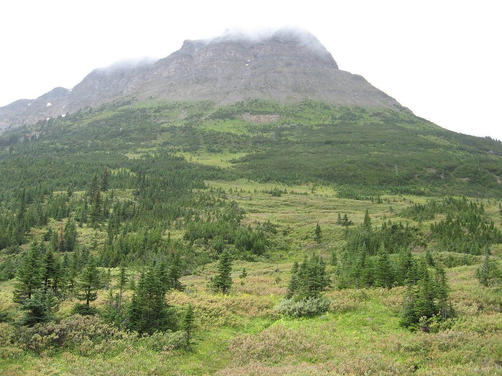 Photo: Padraic · CC BY-SA 2.0viewpoint · Valemount & Mount Robson
Yellowhead Mountain viewpoint
Viewpoint turnaround.
Read the approach and route notesRead guide →