Huble Farm
A historic homestead visit combines restored buildings, riverside pastures and access to the Giscome Portage area. It is distinct from the longer portage traverse and from informal winter approaches through the surrounding forest.
Sources reviewed . This is a research date, not a trail inspection.
The locations GPX contains sourced points with their recorded roles. It contains no trail track or connecting route.
- Distance
- Variable trails/loops up to 4 kmTrip basis unconfirmed
- Elevation gain
- Not established50 - 150 m
- Walking time
- 1–3 hours
- Difficulty
- Easyvariable loops/out-and-back
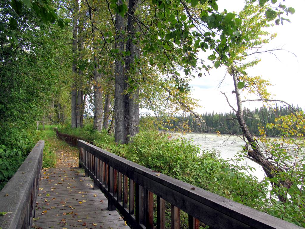
Map & elevation
Elevation profile
A full-route elevation profile is not available yet.
A reusable trail line has not yet been verified for this outing. Any location pin shows the published location described above; it does not draw the hike or establish a navigable approach.
Getting there & parking
From Prince George travel approximately 38 km north on Highway 97, turn right onto Mitchell Road and continue about 6 km to the homestead. Use the operator’s current visitor entrance and opening information before travelling. The separate Giscome Portage trailhead is on Mitchell Road near the homestead but is not the same as parking inside the historic-site visitor area.
Map position: 54.21021, -122.53983 · official geocoder access point for operator-published civic address. Operator physical address: 15000 Mitchell Road, Prince George, BC. BC Address Geocoder returns15000 Mitchell Rd, Salmon Valley, BC; CIVIC_NUMBER match; score96; locationDescriptor=accessPoint; positionalAccuracy=medium. Address-level access point, not a field-surveyed entrance or hiking trailhead. Check operating dates before travel.
On the trail
For a short visit, explore the open visitor paths and riverside pasture areas during the homestead’s operating season, allowing time for its historical interpretation and activities. Longer walking uses the separately described Giscome Portage corridor. Older accounts mention cross-country approaches from Highway 97 or Edric Road, but those are undeveloped routes rather than signed summer trails and should not be presented as ordinary visitor access. The listed walks of up to 4 km refer to several possible local choices, not a single fixed circuit through every feature. Respect gates, farm operations and any visitor-area boundaries.
Distance and elevation source notes
Variable trails/loops up to 4 km
50 - 150 m
The Ramblers homestead page places Giscome Portage access about 1 km along Mitchell Road from the homestead, while its portage page gives about 750 m. Follow the current signed entrance rather than choosing one estimate as exact.
Source comparison: Homestead vicinity; 4 km; up to; variable itineraries scope. A source edition, network range or unresolved start/endpoint is not a separate route.
Conditions & seasons
Cross-country approaches are described as better winter routes; ordinary summer walks stay in the homestead area.
These are dated research notes. Open the trip planner for current available weather and advisory feeds; no alert found does not establish that a trail or road is open.
Camping & overnight plans
On-route camping permission has not been established for this outing. Check the relevant land manager before planning an overnight stay; a mapped lake, cabin or previous tent location does not confirm permission.
Photos of Huble Farm
Original photo galleries
These galleries stay on their photographers’ original websites.
- Huble Homestead February 16, 2025 (opens original source) · Caledonia Ramblers
- Huble Homestead October 29, 2023 (opens original source) · Caledonia Ramblers
- Huble Homestead February 20, 2022 (opens original source) · Caledonia Ramblers
- Huble Homestead November 14, 2021 (opens original source) · Caledonia Ramblers
- Huble Homestead December 15, 2019 (opens original source) · Caledonia Ramblers
- Huble Homestead February 16, 2019 (opens original source) · Caledonia Ramblers
Take this guide with you
Choose a trip pack or an available individual sheet for your map case.
Sources, dates & research notes
Descriptions are written for this guide from the linked evidence. Source review dates, published reports and field observations can differ. Photographs and route lines retain their own attribution and reuse terms.
- https://caledoniaramblers.ca/trails/huble-farm (opens original source)
- https://geocoder.api.gov.bc.ca/addresses.geojson?addressString=15000+Mitchell+Road%2C+Prince+George%2C+BC&outputSRS=4326&maxResults=3&locationDescriptor=accessPoint (opens original source)
- https://www.hublehomestead.ca/contact (opens original source)
Details still being researched
- Total route elevation gain not verified; no substitution from summit altitude or waterfall height.
- No site-specific dog rule verified in reviewed sources.
- No on-route/designated camping permission verified.
Nearby and related guides
- Hikes · Bear Lake & northern lakes
Giscome Portage
A historic portage crosses the divide between the Pacific and Arctic watersheds near Huble Homestead. It is a linear trail with separate northern and southern access points, so…
Easy / 8.5 km point to point / 120 m gainRead guide →  Photo: ₡ґǘșϯγ Ɗᶏ Ⱪᶅṏⱳդ · CC0 1.0Hikes · Bear Lake & northern lakes
Goodsir Nature Park
A privately developed botanical park combines woodland walking, labelled plants and trees, gardens and an indoor naturalist collection. It is particularly suited to a slow…
3 km of trails · Choose your walking routeRead guide → Photo: Andrew Kurjata · CC BY-NC-SA 2.0 · Noncommercial onlyViewpoints · Bear Lake & northern lakes
Teapot Mountain
A compact volcanic summit outing with views around Summit Lake. The trail is being rerouted onto a longer, gentler ascent, so older distance estimates and track lines may describe…
Moderate / 2.8 km loop / 177 m gainRead guide →- Walks · Bear Lake & northern lakes
Kristian Winther Regional Park
A short Salmon River stroll with picnic facilities north of Prince George. Its 700 m riverside path is a compact day-use visit rather than a long trail network.
0.7 km · trip basis unconfirmedRead guide → - Walks · Upper Fraser & Sugarbowl
Harold Mann Regional Park
Creek, marsh and Eaglet Lake paths for wildlife watching.
Read the access and route notesRead guide → - Viewpoints · Bear Lake & northern lakes
Coffeepot Mt.
A short climb reaches the rim of an old volcanic landform, with a loop on top and views across the surrounding country. Recent logging has altered the entrance area, so some older…
Moderate / 2.5 km loop / 129 m gainRead guide →