Cottonwood Island Nature Park Trail
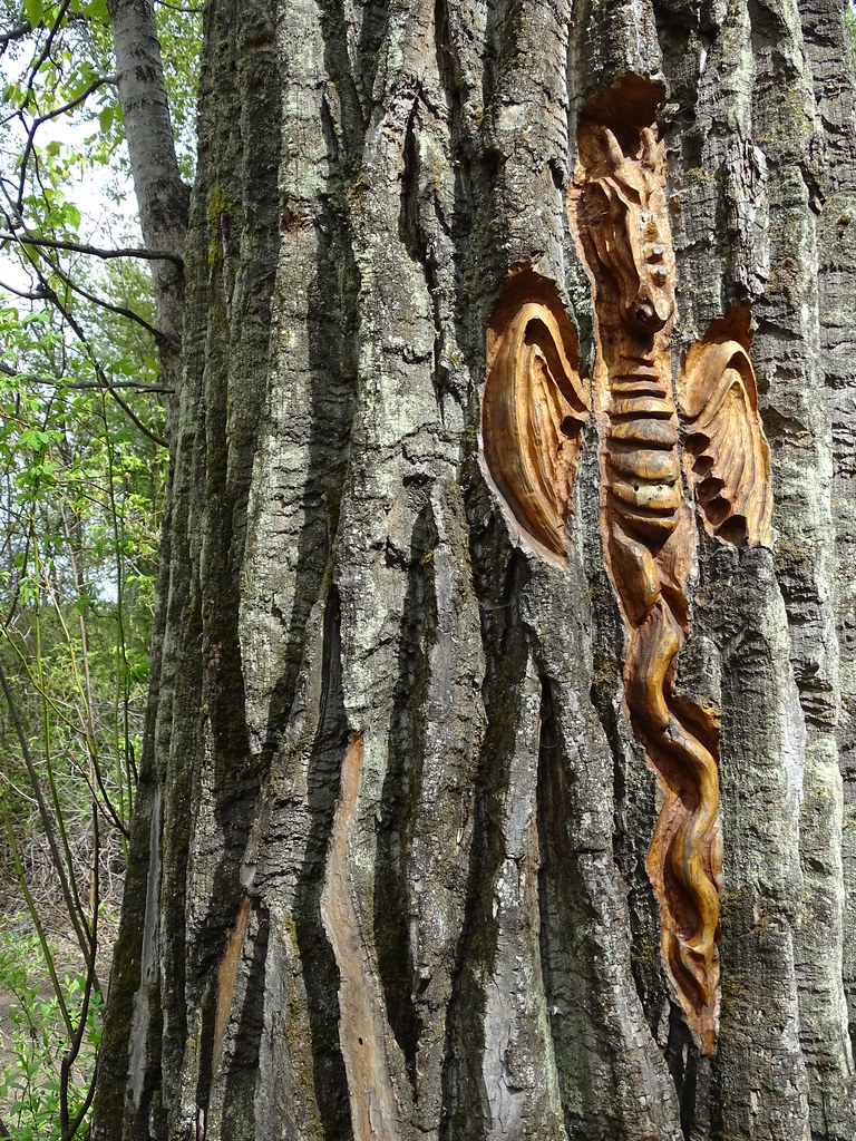
Riverbank paths, bridges and tree-bark carvings make Cottonwood Island a varied low-level walk near the Nechako–Fraser confluence. There are several entrances and route combinations, with connections to the wider Heritage River Trail.
Sources reviewed . This is a research date, not a trail inspection.
- Distance
- 2.2 kmTrip basis unconfirmed
- Elevation gain
- Not establishedCumulative ascent for this outing has not been established.
- Walking time
- Not published
- Difficulty
- Not rated
Map & elevation
Elevation profile
A full-route elevation profile is not available yet. The mapped paths have not been verified as one continuous outing.
Choose a specific route where available. Individual map fragments are not shown as separate hike stages.
City mapped trail segments / park network; not a single measured hiking itinerary. Line source (opens original source).
Getting there & parking
Use River Road, reached from Highway 16 near the Yellowhead Bridge or from Carney Street. The municipal park address is 850 River Road, beside the Railway and Forestry Museum. Several parking and entry areas serve the park, so note the one you use before joining the paths. A route beginning beside the museum is different from a short walk from the boat-launch access.
Estimated drive from Prince George: 4 min · 3.3 km. Modeled one-way driving time from downtown Prince George using mapped road speeds, rounded up to a whole minute. No live traffic or invented forest-road multiplier. Use the park parking area beside the museum; the reserve has several other entry points.
Map position: 53.92251, -122.73046 · park reference point derived inside official boundary. Official City ParkName=Cottonwood Island Park; OBJECTID=1430; active park polygon. Marker computed inside its largest polygon, checked against exterior and holes. Park location marker for orientation; not a source-published parking point or trailhead. Neighbourhood park existence does not establish a named hiking route.
On the trail
Choose a shoreline circuit from the entrance map, following the river paths and their connecting bridges. Tree carvings, interpretation, benches and viewing areas provide frequent stops; the inland side of a longer circuit returns near the railway museum. The City lists 2.2 km of park trails, while one separately described clockwise circuit measures 2.9 km, so pick the route rather than assuming a single fixed loop. Surfaces include pavement, gravel and dirt and are mostly level. Keep dogs leashed and use signed crossings; the railway and river edge are not walking shortcuts. Longer Heritage River Trail connections need their own plan because the City reports unavailable sections elsewhere along the Nechako.
The way back
Several entrances and connecting paths serve the park. Choose a circuit at the entrance map and return to the same access. The City’s 2.2 km figure describes park trails rather than a uniquely defined loop.
Terrain: paved.
Distance and elevation source notes
less than 10 m elevation change
Conditions & seasons
Season-specific access has not been established in this guide. Read the dated notices and original land-manager information before choosing a departure date.
These are dated research notes. Open the trip planner for current available weather and advisory feeds; no alert found does not establish that a trail or road is open.
Camping & overnight plans
On-route camping permission has not been established for this outing. Check the relevant land manager before planning an overnight stay; a mapped lake, cabin or previous tent location does not confirm permission.
Photos of Cottonwood Island Nature Park Trail
Take this guide with you
Choose a trip pack or an available individual sheet for your map case.
Sources, dates & research notes
Descriptions are written for this guide from the linked evidence. Source review dates, published reports and field observations can differ. Photographs and route lines retain their own attribution and reuse terms.
- https://www.princegeorge.ca/parks-recreation/parks-trails/cottonwood-island-nature-park-trail (opens original source)
- https://www.princegeorge.ca/parks-recreation/parks-trails/cottonwood-island-nature-park (opens original source)
- https://www.10adventures.com/hikes/prince-george/cottonwood-island-loop-trail/ (opens original source)
- https://services2.arcgis.com/CnkB6jCzAsyli34z/ArcGIS/rest/services/OpenData_ParkData/FeatureServer/12 (opens original source)
- https://caledoniaramblers.ca/trails/centennial-trail (opens original source)
- https://tourismpg.com/family-mountain-biking-with-dani/ (opens original source)
- https://project-osrm.org/ (opens original source)
- https://www.openstreetmap.org/copyright (opens original source)
OpenStreetMap line references (1)
These contributor-mapped features support the map geometry. They are separate from the written access and route sources.
Details still being researched
- gainM
- accessibility
- camping
- seasonal
Nearby and related guides
- Walks · Prince George
PG 50
An endurance walk combines city parks, river corridors and the full Cranbrook Hill Greenway into a roughly 50 km day. It is a stitched itinerary across several networks rather…
Expert / 50 km loopRead guide → - Photo: ₡ґǘșϯγ Ɗᶏ Ⱪᶅṏⱳդ · CC0 1.0Walks · Prince George
Heritage River Trail System
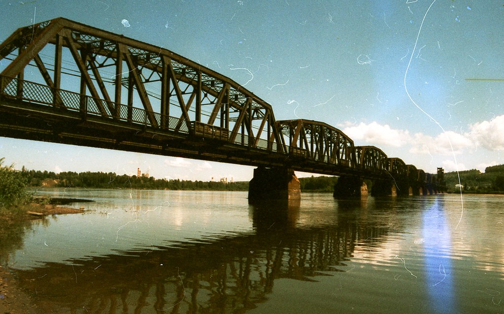
A mostly level city network links river views, wetlands and major parks along the Fraser and Nechako. Some Nechako-side sections are no longer available, so it must be planned as…
9.2 km of trails · Choose your walking routeRead guide → 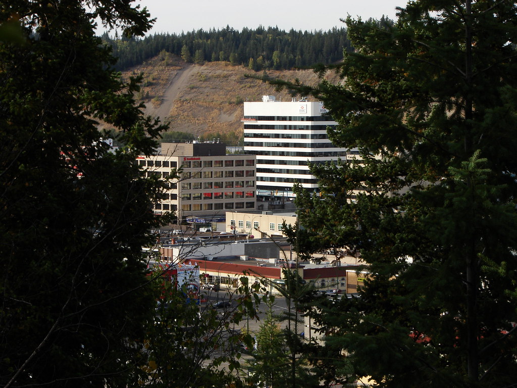 Photo: Pipers Creek · CC BY-NC 2.0 · Noncommercial onlyWalks · Prince George
Connaught Hill Park
A landscaped hilltop park with broad city views, flower beds and picnic space. Walking approaches include stairs and a trail, while a seasonal vehicle road provides a different…
Read the access and route notesRead guide → Photo: Andrew Kurjata · CC BY-NC-SA 2.0 · Noncommercial onlyWalks · Prince George
LC Gunn Park
An elevated walk above the Fraser River links LC Gunn Park with the cutbank corridor toward the Simon Fraser Bridge. Viewpoints reward a short visit, while the full return walk is…
Easy / 7 km round trip / 85 m gainRead guide →- Walks · Prince George
Centennial Connector Trail
A long urban circuit links the river parks, Moore’s Meadow and the university hillside around the Prince George Bowl. It combines paths and sidewalks, with one substantial hill…
30 km of trails · Choose your walking routeRead guide → 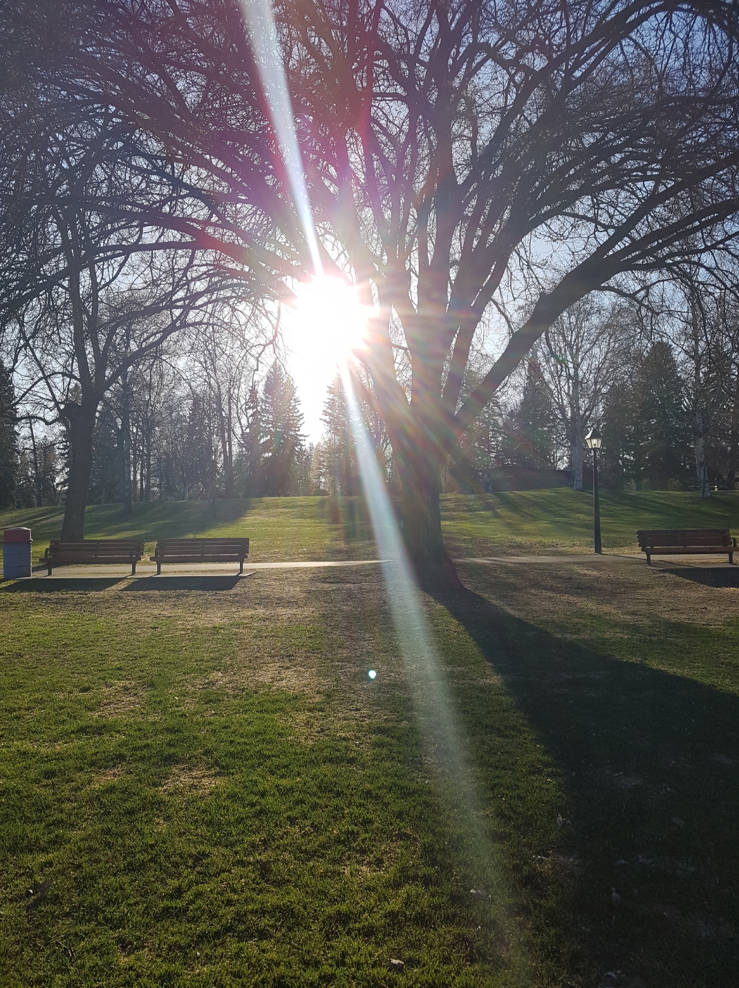 Photo: Arenity · CC BY-SA 4.0Walks · Prince George
Lheidli T’enneh Memorial Park
A major Fraser River park combines paved paths, gathering spaces and family facilities on the site of a former Lheidli village. An active Lheidli T’enneh cemetery remains within…
Read the access and route notesRead guide →