A long wooded corridor connecting the UNBC side of Cranbrook Hill with Otway, with access to Forests for the World along the way. It supports short return walks as well as a much longer point-to-point outing.
Sources reviewed . This is a research date, not a trail inspection.
The published measurements describe the wider trail network. Your walk’s length and climbing depend on the trails you choose. Choose a listed route option for its own measurements.
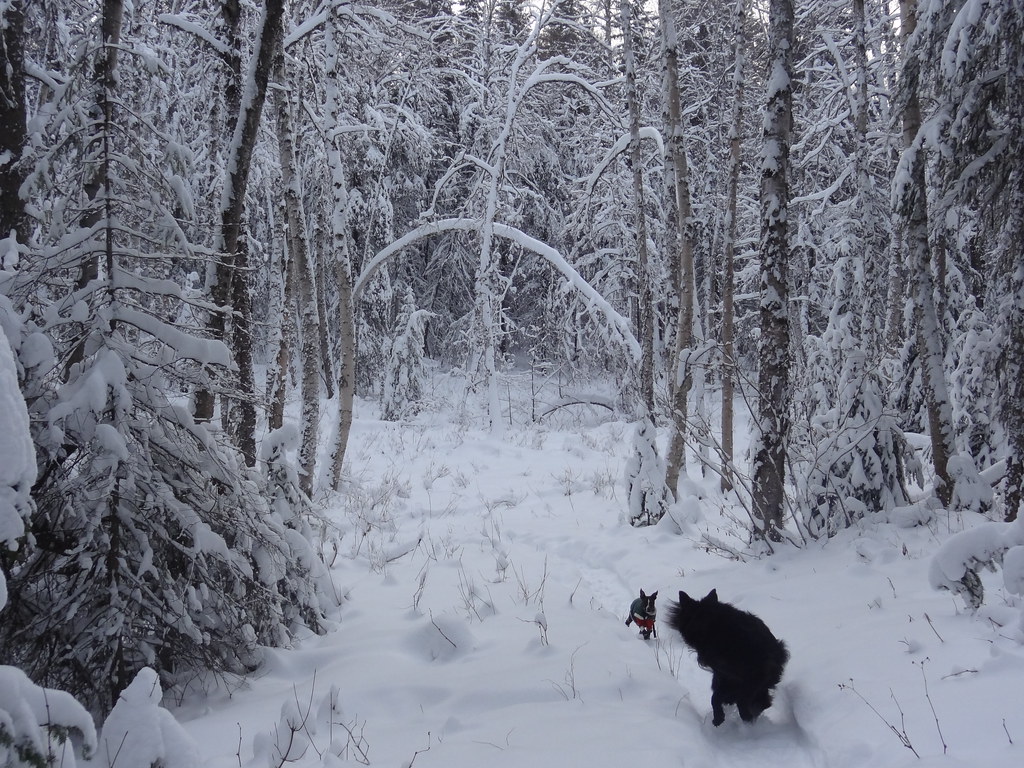
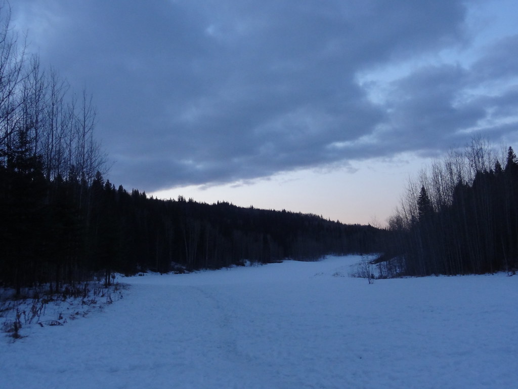
Snowshoe tracks beneath snow-covered trees on the Cranbrook Hill Greenway, 22 December 2012.DSC03507 (opens original source) · Andrew Kurjata · CC BY-NC-SA 2.0 (opens original source) · 2012-12-22. Provider display size downloaded; no local edits. Display may crop the view. Adaptations retain the image licence. · Noncommercial only
Trail network map
Opening the map…
Elevation profile
A full-route elevation profile is not available yet. The mapped paths have not been verified as one continuous outing.
Choose a specific route where available. Individual map fragments are not shown as separate hike stages.
More maps & trail files
AllTrails map
Cranbrook Hill through-route on AllTrails
The hosted map shows approximately 17.7 km point to point through the Greenway. This is a through-route with different endpoints, not a return walk or the total of every network trail; arrange the finish and transport plan.
Sawmill Trail and Blue Spruce Connector Loop on AllTrails
A named loop outing of approximately 5 km within this wider network. Its specific start and trail sequence remain separate from our general network guide; it is not a network-wide distance.
The hosted map shows a named loop of about 9.4 km within the wider Greenway network. Its specific start and trail sequence are separate from this general network guide.
Choose an access point before calculating your outing: the UNBC Greenway trailhead is off Tyner Boulevard; Forests for the World is reached from Cranbrook Hill Road and Kueng Road. Lower-hill approaches also exist at the ends of Hopkins Road, Ferry Avenue and Pinewood Avenue. Starting on those lower approaches changes the climbing and distance. A through-walk to Otway requires a return or transport plan; parking at one end does not make the route a loop.
Estimated drive from Prince George: 12 min · 8.4 km. Modeled one-way driving time from downtown Prince George using mapped road speeds, rounded up to a whole minute. No live traffic or invented forest-road multiplier. This estimate is to the UNBC Greenway lot. Choose your walking route and return plan separately; the network has several other entrances.
Map position: 53.91901, -122.89850 · park reference point derived inside official boundary. Official City ParkName=Cranbrook Hill Greenway; OBJECTID=1439; active park polygon. Marker computed inside its largest polygon, checked against exterior and holes.
Park location marker for orientation; not a source-published parking point or trailhead. Neighbourhood park existence does not establish a named hiking route.
Walking options
Follow the Greenway corridor for an out-and-back of your chosen length, or use mapped connections into Forests for the World for a shorter forest circuit. Shane Lake makes a useful objective when starting near the southern end. The published 17.6 km figure refers to the Greenway-to-Otway route, while shorter walks can be only a few kilometres. Old roads and side paths spread across Cranbrook Hill, so distinguish the main corridor from a local spur at each junction. Decide on a turnaround time before leaving the main trailhead, particularly if you have started at a lower neighbourhood access.
Distance and elevation source notes
245 m, source calls this elevation without gain definition
1 km up to 17.6 km for the Greenway to Otway trail
100 m
Conditions & seasons
Season-specific access has not been established in this guide. Read the dated notices and original land-manager information before choosing a departure date.
These are dated research notes. Open the trip planner for current available weather and advisory feeds; no alert found does not establish that a trail or road is open.
On-route camping permission has not been established for this outing. Check the relevant land manager before planning an overnight stay; a mapped lake, cabin or previous tent location does not confirm permission.
Photos of Cranbrook Hill Greenway
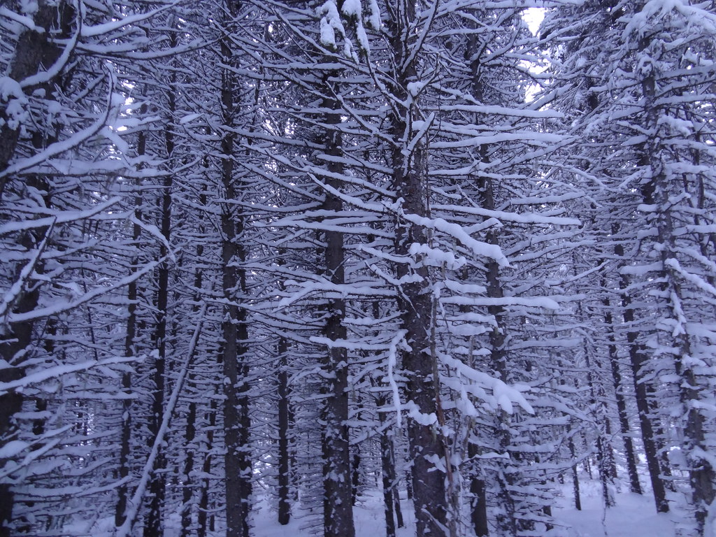
Snowshoe tracks beneath snow-covered trees on the Cranbrook Hill Greenway, 22 December 2012.DSC03507 (opens original source) · Andrew Kurjata · CC BY-NC-SA 2.0 (opens original source) · 2012-12-22. Provider display size downloaded; no local edits. Display may crop the view. Adaptations retain the image licence. · Noncommercial onlyWinter forest on the Cranbrook Hill Greenway, 22 December 2012.DSC03521 (opens original source) · Andrew Kurjata · CC BY-NC-SA 2.0 (opens original source) · 2012-12-22. Provider display size downloaded; no local edits. Display may crop the view. Adaptations retain the image licence. · Noncommercial only
Original photo galleries
These galleries stay on their photographers’ original websites.
Descriptions are written for this guide from the linked evidence. Source review dates, published reports and field observations can differ. Photographs and route lines retain their own attribution and reuse terms.