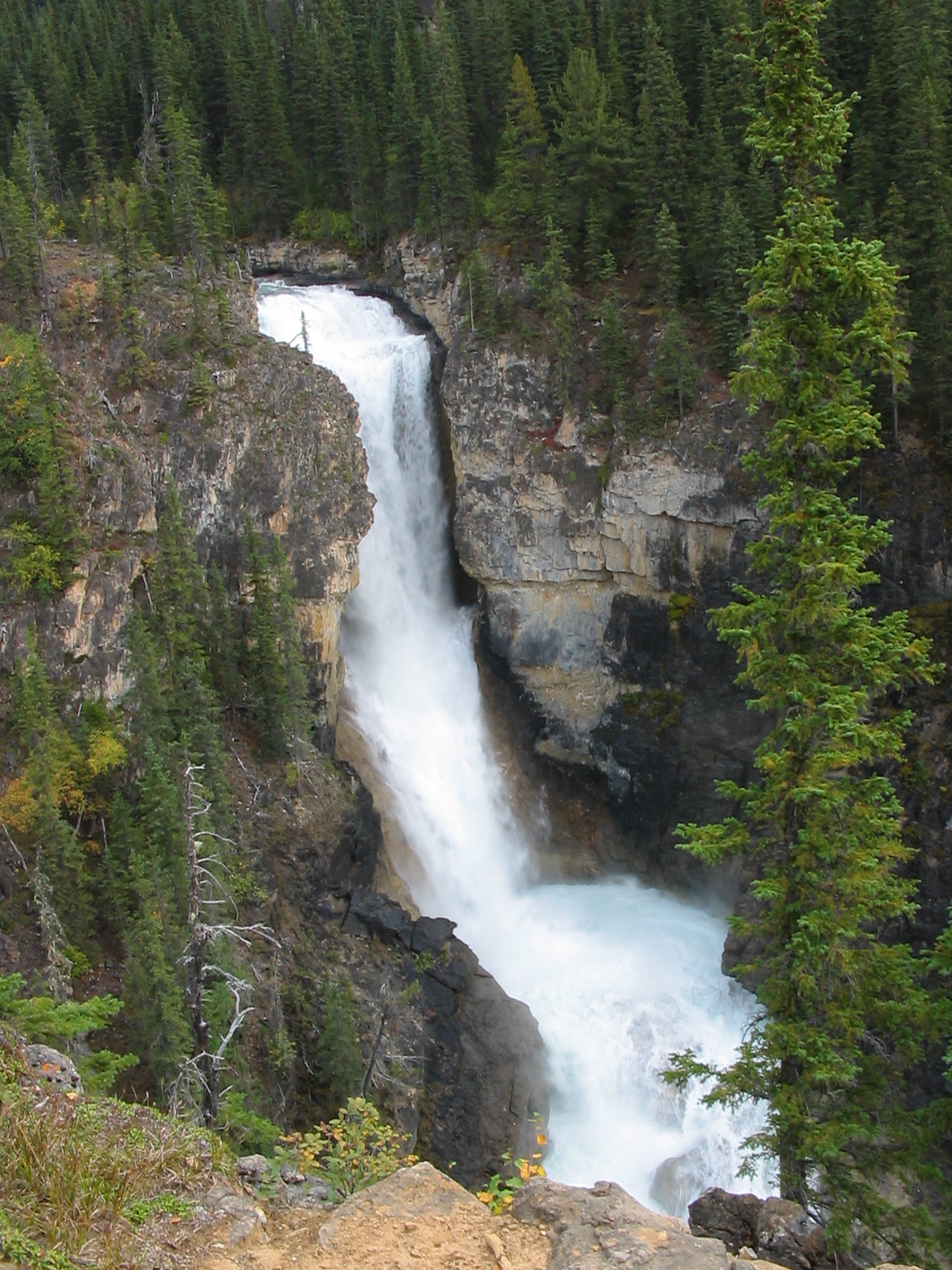
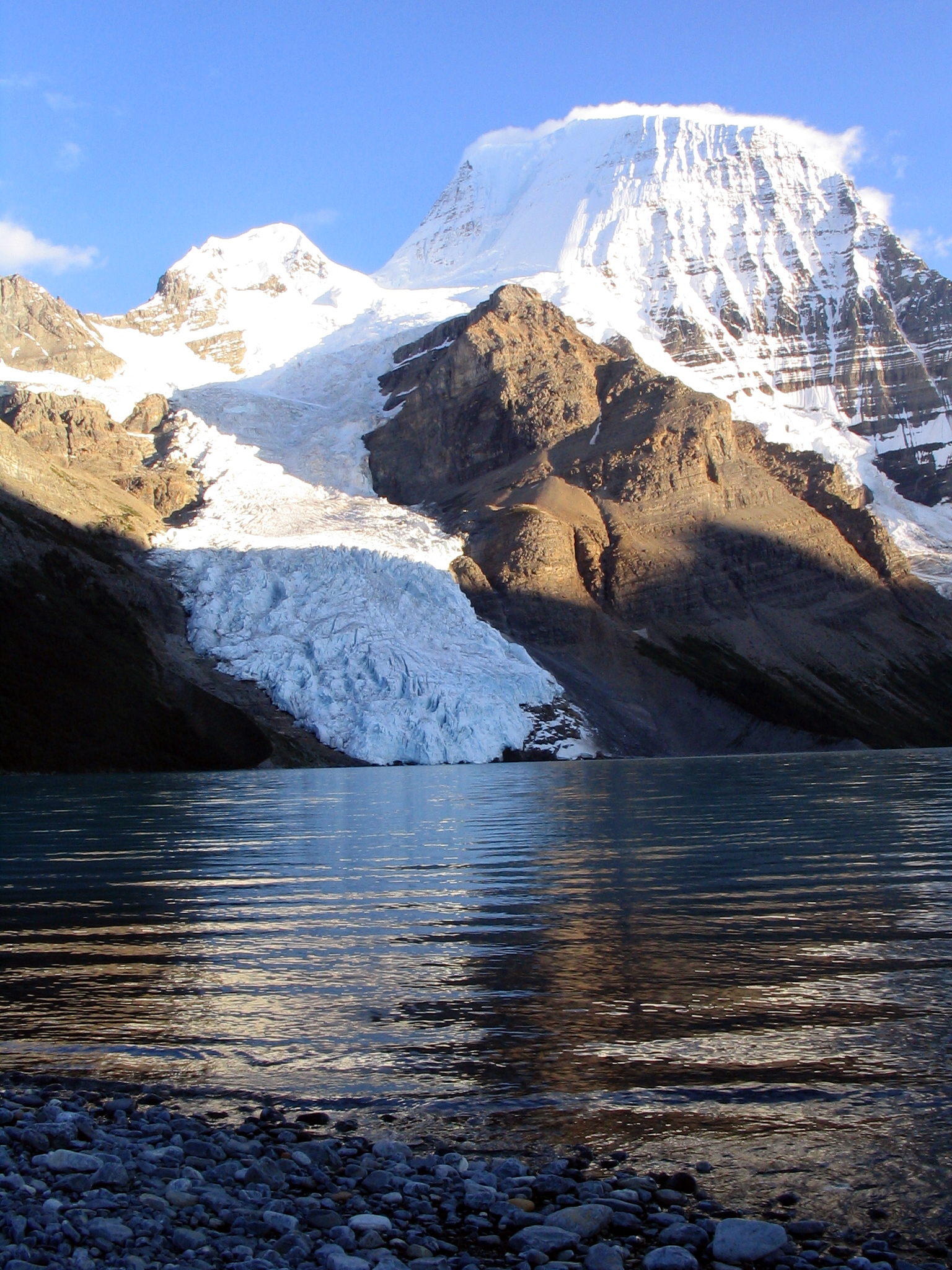
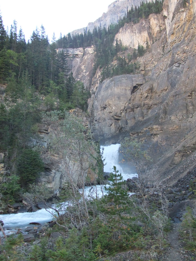
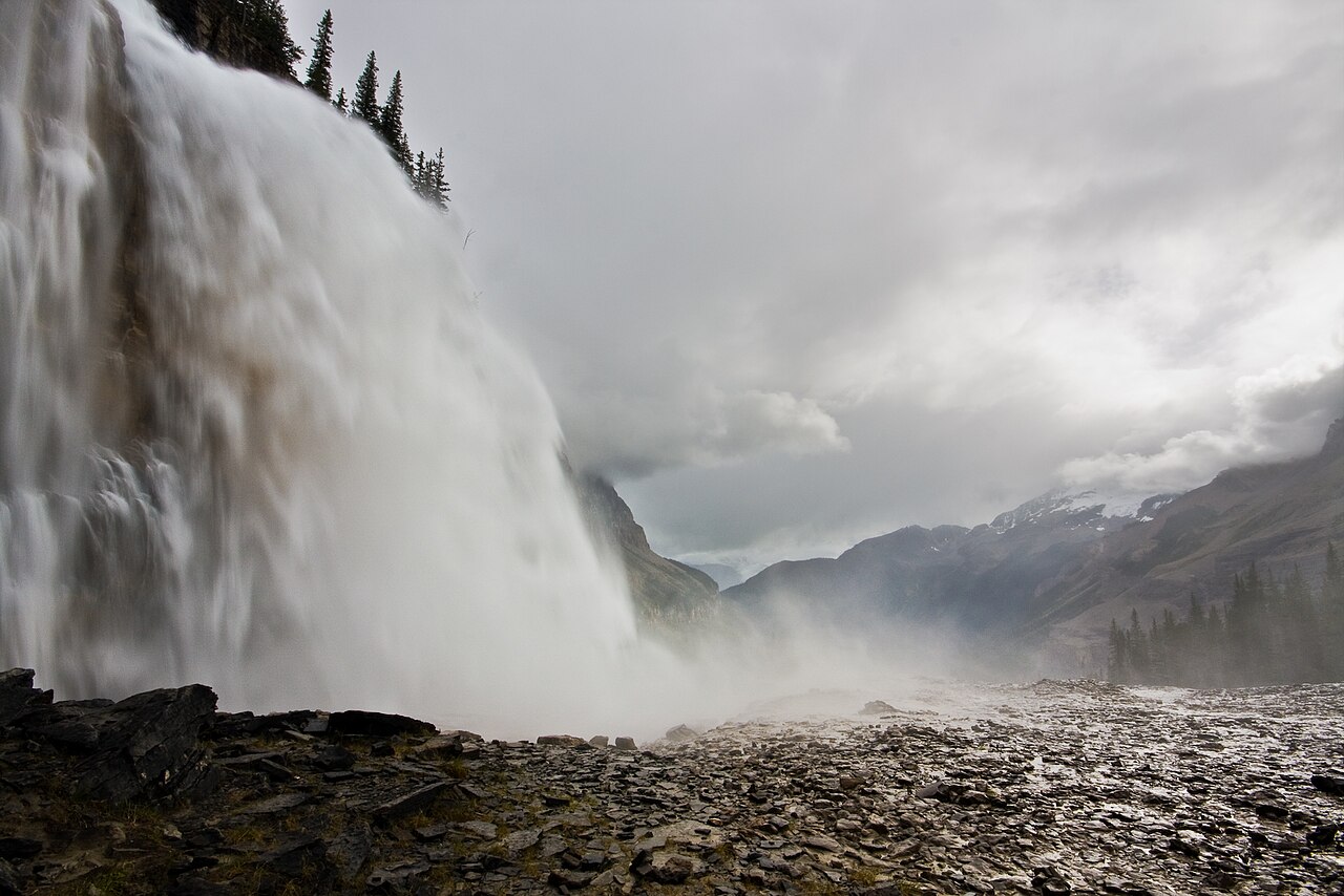
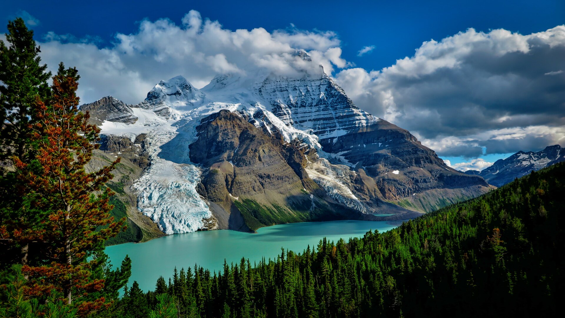
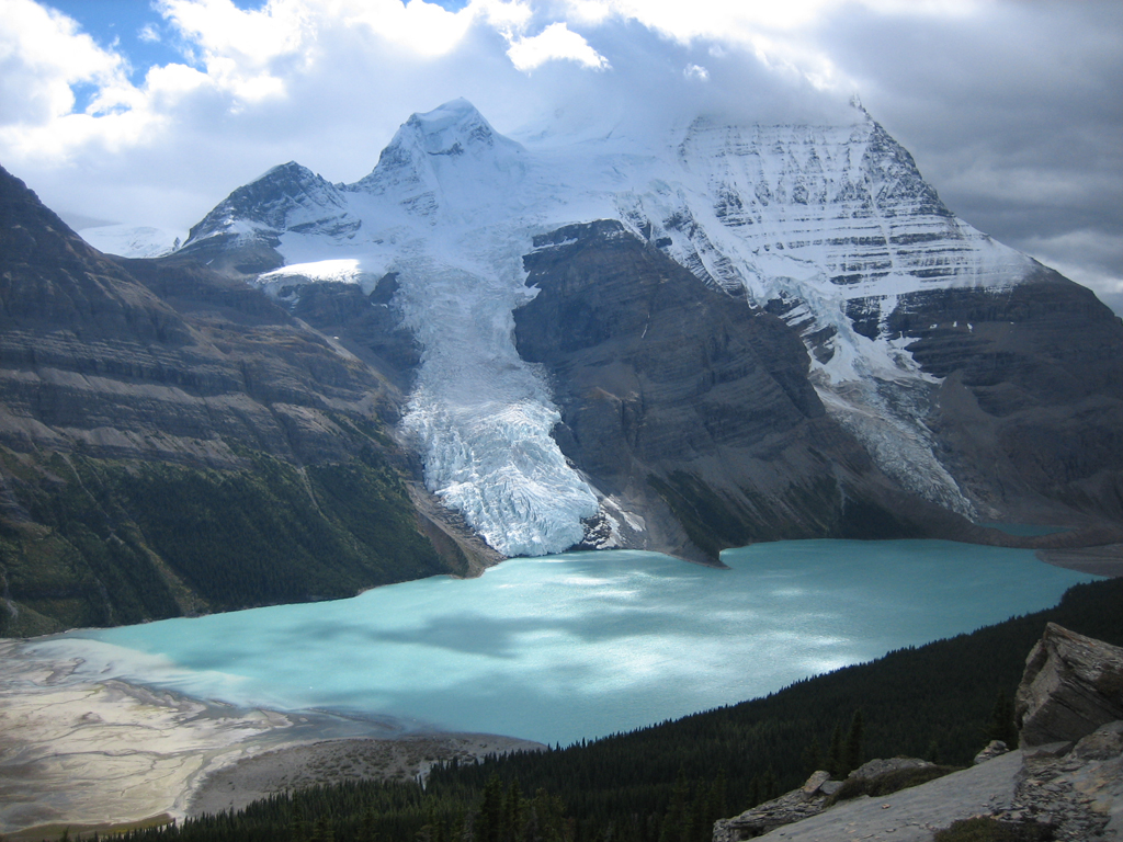
Visit a waterfall viewpoint on the steep climb through the Valley of a Thousand Falls, above Whitehorn. Allow for the full Berg Lake Trail approach and the return through Kinney Lake.
Sources reviewed . This is a research date, not a trail inspection.
A full-route elevation profile is not available yet.
More maps & trail files
AllTrails map
Longer corridor past Falls of the Pool on AllTrails
The hosted map shows a longer return toward Emperor Falls campground, continuing beyond Falls of the Pool. Its approximately 31.3 km total and elevation profile do not describe turning around at this earlier falls viewpoint.
A reusable trail line has not yet been verified for this outing. Any location pin shows the published location described above; it does not draw the hike or establish a navigable approach.
From Highway 16 at Mount Robson, follow Kinney Lake Road to its end and the Berg Lake trailhead.
Parking: The road-access trailhead is at the end of Kinney Lake Road near the Mount Robson Welcome Centre. Upper-corridor camps and viewpoints cannot be reached by car.
Full access notes
From Highway 16, turn into the signed Mount Robson park entrance near the Welcome Centre and follow Kinney Lake Road about 2.3 km to the road-end Berg Lake Trail parking. This is the vehicle access for the whole Berg Lake corridor. The waterfall and upper-basin destinations have no separate road approach.
Map position: 53.12262, -119.20519 · waterfall viewpoint destination; reached on foot. OSMnode6700687285 named Falls of the Pool, tourism=viewpoint.
Backcountry viewpoint on Berg Lake Trail; not road access or the approximate gazetteer waterfall point.
On the trail
Follow the Berg Lake corridor from Kinney Lake Road past Kinney Lake to Whitehorn campground.
Continue across the rebuilt river crossings into the waterfall valley and begin the steep ascent.
Continue toward the signed Falls of the Pool viewing location. The retained rebuilt-trail account does not establish a precise side-path junction sequence for this stop, so current signs and park information remain necessary.
Full route notes
Approach on the Berg Lake Trail past Kinney Lake and Whitehorn campground, then cross the river and continue into the Valley of a Thousand Falls. Continue up the waterfall valley beyond the lower White Falls area toward the marked Falls of the Pool viewing area. This is a stop along a steep mountain approach, not a short walk from the highway. The exact viewpoint distance varies between old and rebuilt-corridor descriptions, so use the signed location and the selected distance basis. Expect wet rock and exposed river edges around waterfall viewpoints. The distance on this record is measured from the road-end trailhead unless its scope explicitly says otherwise; it is not just the short viewpoint spur.
The way back
Retrace the full approach through Whitehorn and Kinney Lake. The displayed highway-trailhead distance is a one-way approach to Falls of the Pool, not a short roadside waterfall walk. Add any viewpoint spur in both directions.
Conditions & seasons
The rebuilt corridor reopened in stages after the 2021 damage, with the full route reopening in 2025. Current signs and BC Parks advisories take precedence over older map distances. Winter travel is possible but adds avalanche, snow and ice hazards; it is not the same undertaking as a summer walk.
Robson watercraft and wading equipment restriction
From May 4, 2026, BC Parks prohibits watercraft and wading equipment throughout Mount Robson Park waters to limit aquatic disease spread. This includes powered and unpowered craft, inflatables, wading clothing and boots. The hiking trails are not closed by this notice.
BC Parks allows winter use, but warns of severe winter conditions. Use designated camping areas and check current advisories and avalanche conditions; the summer itinerary is not a validated winter track.
These are dated research notes. Open the trip planner for current available weather and advisory feeds; no alert found does not establish that a trail or road is open.
Overnight stays belong in designated Berg Lake Trail campgrounds, on tent pads or other established sites. Reserve the selected campground during the peak booking season; a day-hike visit does not provide a camping reservation. The corridor has a permanent campfire ban, and water must be treated. Dogs are not allowed on overnight trips. Whitehorn and Emperor Falls are the camp stages around this part of the corridor. Select and reserve an actual campsite rather than pitching a tent beside a viewpoint.
Descriptions are written for this guide from the linked evidence. Source review dates, published reports and field observations can differ. Photographs and route lines retain their own attribution and reuse terms.