Hallis Lake
Hallis Lake is a ski-centre trail network southeast of Quesnel with summer walking opportunities and a shorter low-mobility route to a lake lookout. The wider network is described as about 75 km, while the local visitor overview identifies a 750 m crushed-gravel accessible trail. Neither network total describes the distance of an individual summer loop; choose a named route before comparing length and ascent.
Sources reviewed . This is a research date, not a trail inspection.
- Distance
- Outings up to 15 km; club describes network over 75 kmTrip basis unconfirmed
- Elevation gain
- Not established83 m club figure; itinerary unspecified
- Walking time
- 2 hours
- Difficulty
- EasyLoop
Map & elevation
Elevation profile
A full-route elevation profile is not available yet. The mapped paths have not been verified as one continuous outing.
Choose a specific route where available. Individual map fragments are not shown as separate hike stages.
Mapped snowshoe footway network. Shows only the source-designated winter hiking/snowshoe footways, including Big Foot and Wally’s Way. This is not the low-mobility viewing-platform route or the Nordic ski network. Follow the operator’s current snowshoe map, access rules and pass requirements; do not walk on groomed ski tracks. One original source section contains a straight step of about 550 m, so this generalized reference is not a precise winter navigation track. Line source (opens original source).
Getting there & parking
From Highway 97 in Quesnel, take Quesnel-Hydraulic Road and follow it approximately 9.8 km. Turn left onto Hallis Lake Forest Service Road and continue about 850 m to the ski-centre access. Use the centre’s parking and current trail information to select the walking or winter route. The Cariboo Ski Touring Club is the relevant operator for present access arrangements, trail maps and ski-season fees.
Map position: 52.92595, -122.34786 · recreation project location. Source-published recreation project point; not verified parking or trailhead.
On the trail
For the short outing, take the marked low-mobility trail toward the viewing platform over Hallis Lake, using the centre’s map to identify it among the many ski trails. The local visitor source describes 750 m of crushed gravel but does not specify a separate return distance, so plan to retrace the access unless the current map identifies a circuit. Longer summer walks can use selected network loops; the older listing’s “up to 15 km” and 83 m of gain are not tied to a named loop. In winter, use designated ski or snowshoe routes and the operator’s current map rather than walking indiscriminately on groomed tracks.
Accessibility
One trail to the lake viewing platform is described as accessible; entire network is not.
Distance and elevation source notes
Up to 15 km depending on trail taken
83 m
Conditions & seasons
This is an operating Nordic centre in winter. Check Cariboo Ski Touring Club conditions, route designations and required passes before visiting; summer hiking descriptions do not establish winter walking access on all trails.
These are dated research notes. Open the trip planner for current available weather and advisory feeds; no alert found does not establish that a trail or road is open.
Camping & overnight plans
On-route camping permission has not been established for this outing. Check the relevant land manager before planning an overnight stay; a mapped lake, cabin or previous tent location does not confirm permission.
Photos of Hallis Lake
A photograph with confirmed reuse permission has not yet been added to this guide.
Original photo galleries
These galleries stay on their photographers’ original websites.
- Hallis Lake May 19, 2024 (opens original source) · Caledonia Ramblers
Take this guide with you
Choose a trip pack or an available individual sheet for your map case.
Sources, dates & research notes
Descriptions are written for this guide from the linked evidence. Source review dates, published reports and field observations can differ. Photographs and route lines retain their own attribution and reuse terms.
- https://caledoniaramblers.ca/trails/hallis-lake (opens original source)
- https://delivery.maps.gov.bc.ca/arcgis/rest/services/mpcm/bcgwpub/MapServer/404 (opens original source)
- https://www.southquesnel.com/explore (opens original source)
- https://www.quesnel.ca/arts-recreation/parks-water/city-parks/hallis-lake (opens original source)
- https://caribooski.ca/ (opens original source)
OpenStreetMap line references (6)
These contributor-mapped features support the map geometry. They are separate from the written access and route sources.
- https://www.openstreetmap.org/way/197607714 (opens original source)
- https://www.openstreetmap.org/way/197607739 (opens original source)
- https://www.openstreetmap.org/way/197607791 (opens original source)
- https://www.openstreetmap.org/way/640496171 (opens original source)
- https://www.openstreetmap.org/way/640496172 (opens original source)
- https://www.openstreetmap.org/way/640496173 (opens original source)
Details still being researched
- gainM
- distanceKm
- dogs
- camping
Nearby and related guides
- Hikes · Hixon & Quesnel
Dragon Lake
Dragon Lake is a broad recreation destination on the south side of Quesnel, best known for fishing and lake access. The older hiking listing labels an easy loop but gives no…
Easy / TBARead guide → - Walks · Hixon & Quesnel
Pioneer Park Accessible Trails
Pioneer Park is a small forest and lakeside walking area on the west side of Dragon Lake. Its approximately 1 km of packed crushed-gravel trails connects green space, picnic…
1 km of trails · Choose your walking routeRead guide → - Viewpoints · Hixon & Quesnel
Sisters Creek Accessible Trail
This short Kersley trail leads from the recreation-centre area toward a viewpoint over the Fraser River. The approximately 800 m route has a packed crushed-gravel surface, mostly…
1.6 km round tripRead guide → - Hikes · Hixon & Quesnel
Quesnel River
This Quesnel River outing starts above the south bank and descends through a utility clearing before following an old riverside road. The described return climbs steeply through a…
Easy / 6 km loop / 120 m gainRead guide → 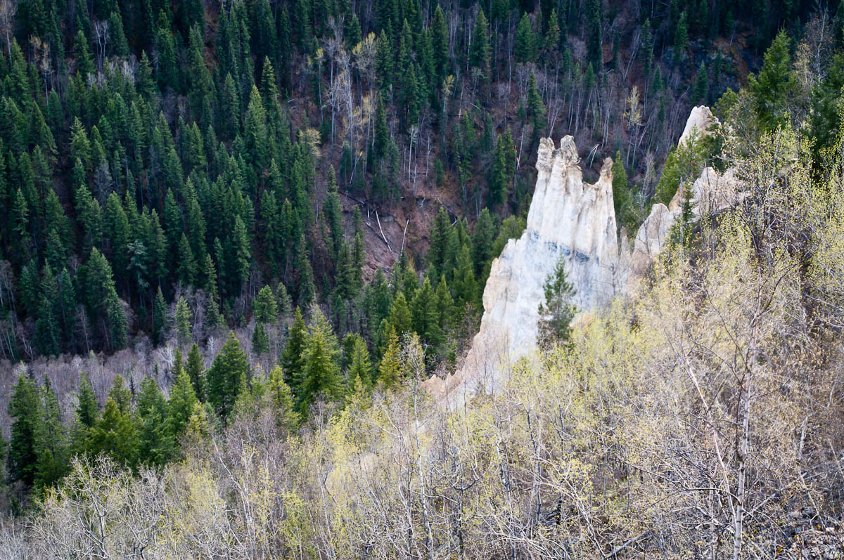 Photo: John Freeland · CC BY 2.0Viewpoints · Hixon & Quesnel
The Pinnacles
A maintained path leads to a fenced viewpoint over hoodoos and the Baker Creek valley on the west side of Quesnel. BC Parks places the viewpoint approximately 1 km from the…
Moderate / 2 km round tripRead guide →- Camping · Hixon & Quesnel
Ten Mile Lake campgrounds
Ten Mile Lake is a practical vehicle-accessible base for Quesnel-area walks, with beaches, a boat launch and a forest trail network in the same provincial park. The park lists…
Camping destination · access & overnight informationRead guide →