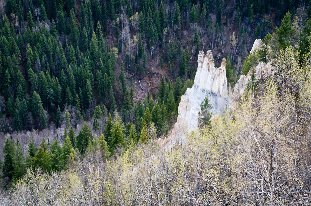
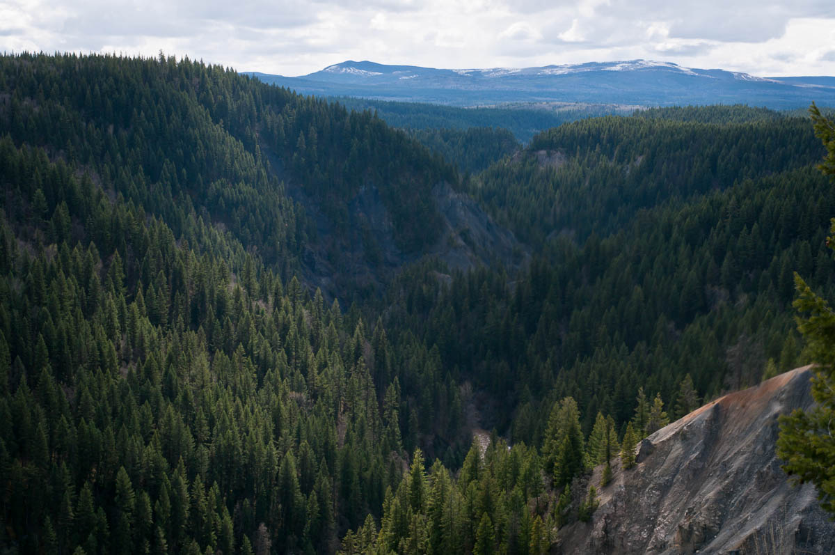
A maintained path leads to a fenced viewpoint over hoodoos and the Baker Creek valley on the west side of Quesnel. BC Parks places the viewpoint approximately 1 km from the entrance and suggests around 15 minutes to reach it. Longer informal paths described in older hiking accounts are separate from this short maintained viewpoint outing.
Sources reviewed . This is a research date, not a trail inspection.
A full-route elevation profile is not available yet.
More maps & trail files
AllTrails map
Pinnacles loop option on AllTrails
An approximately 2.1 km loop in Pinnacles Park. The official maintained viewpoint outing is a return walk; verify the loop branches before treating them as part of that maintained approach.
A roughly 10.3 km return extending beyond the provincial park’s short viewpoint trail. This is a separate, longer outing and is not included in the standard 2 km viewpoint return.
A reusable trail line has not yet been verified for this outing. Any location pin shows the published location described above; it does not draw the hike or establish a navigable approach.
Getting there & parking
From Highway 97 in Quesnel, use the Moffat Bridge approach to cross to the west side, then take Baker Drive and continue onto Pinnacles Road. The paved road leads to the park on the left, approximately 8 km from downtown Quesnel. BC Parks says the park remains open for daytime visits year-round even when the entrance gate is locked. Park legally without blocking that gate and walk in.
Map position: 52.98394, -122.56182 · start point of published trip track (parking unverified). Embedded trip-map feature 'Pinnacles': first recorded coordinate [-122.56182, 52.98394].
Point extracted from the original public trip map. A track start is evidence of where recording began, not certification of parking, legal access, road suitability or the complete route.
On the trail
Follow the maintained trail from the entrance to the established hoodoo viewpoint and return the same way. Stay behind the viewpoint fence: the formations are fragile and the surrounding cliffs are steep. The older club description continues on a less-developed footpath toward another Baker Creek overlook, but that extension is not included in the official 1 km approach and lacks equivalent junction detail. For the straightforward outing, turn around at the established viewing area.
Terrain: rough route.
Distance and elevation source notes
1 km
gentle slopes
Conditions & seasons
The park is open year-round for day use, including when the entrance gate is locked. Snow and ice can affect the path and cliffside viewing area; a year-round opening is not a statement of maintained winter footing.
These are dated research notes. Open the trip planner for current available weather and advisory feeds; no alert found does not establish that a trail or road is open.
Descriptions are written for this guide from the linked evidence. Source review dates, published reports and field observations can differ. Photographs and route lines retain their own attribution and reuse terms.