StartHighway 16 falls parking trail entrance0.3 km · turn aroundNamed Rearguard Falls boardwalk viewpoint0.7 km · back at startHighway 16 falls parking trail entrance
Approximate terrain elevation. Mapped distance may differ from the published hike distance.
Map and elevation sources
Approximate ground elevation from a 90 m terrain model. Distance follows the mapped itinerary and may differ from published walking distance. This is a terrain-model profile, not a surveyed measurement. Any ascent total is identified separately with its own source or estimation method.
The local outdoor association publishes the highway-parking trailhead coordinate. The retained approach begins inside that mapped parking area after reversing its original stored order. Its old river-end stops at the junction with the wooden viewing structure. A retained steps segment shares that exact junction coordinate and reaches the named Rearguard Falls viewpoint at its next vertex. This existing source edge is appended, then explicitly retraced with the approach for the return. BC Parks identifies the falls viewing area as the trail objective and requires visitors to remain inside the fenced area. No further riverbank path or water access is added. The mapped total is reported separately from the association's 0.4 km headline.
The hosted map shows approximately 0.7 km return from the highway parking area to the falls viewpoints. The local guide gives 0.4 km; remain within the fenced viewing areas. The walk descends toward the falls and climbs back to parking.
Complete mapped outing from Highway 16 falls parking trail entrance, including the return on the same route. Line source (opens original source).
Getting there & parking
From the Highway 5/16 junction at Tête Jaune Cache, drive east on Highway 16 for roughly 4–5 km to the signed Rearguard Falls parking on the south side of the highway. This is a roadside park access; it does not share the Mount Robson/Berg Lake trailhead.
park entrance vicinity. Source-published approximate distance from Prince George; not a current routed travel time.
285 km from town in the source description. park entrance vicinity. Source-published approximate distance from Prince George; not a current routed travel time.
Map position: 52.97361, -119.36389 · named falls destination. BC Gazetteer: Rearguard Falls | Falls | 52 58 24 N | 119 21 50 W | WGS84 | mapsheet 83D/14
Official named-feature location, not parking or a verified route start. This point supports regional orientation and area forecasts; road directions and distance-to-trailhead must use a separately verified access point.
On the trail
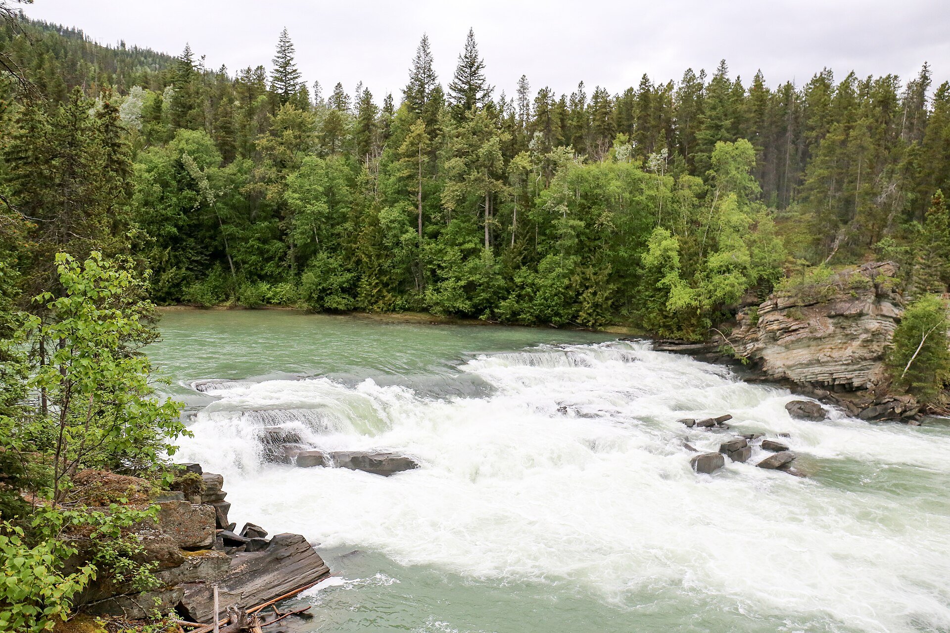
Follow the short walking trail from the signed highway parking area to the fenced falls viewpoint.
Remain inside the viewing enclosure; the river is cold and fast, and spray makes nearby rock slippery.
Full route notes
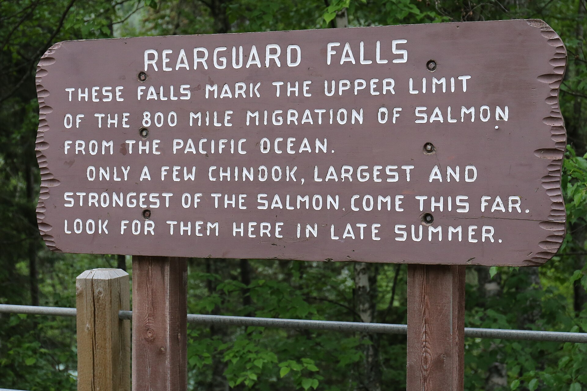
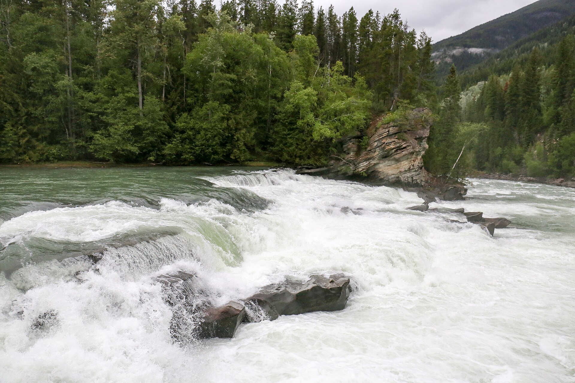
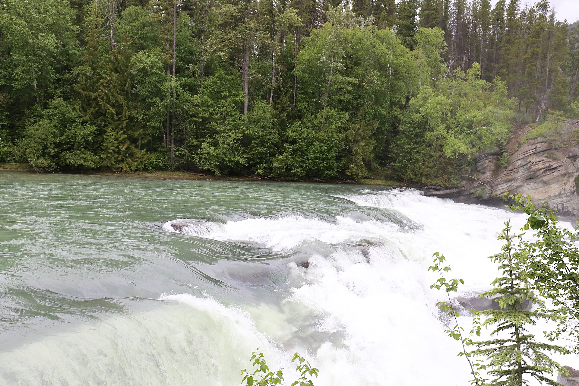
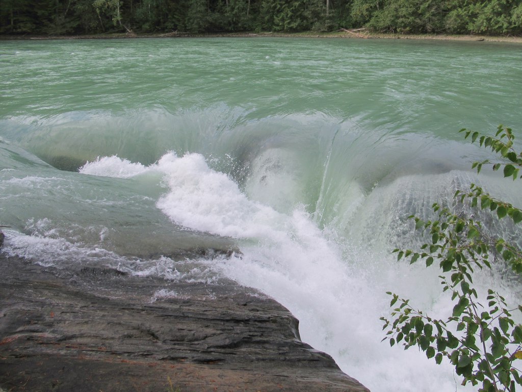
Descend the short forest trail from the parking area to the boardwalk and fenced viewpoints beside the Fraser River. Watch the falls from the constructed viewing areas, then climb back by the same route. The initial slope is steeper than the short overall walk may suggest, so allow time for the uphill return and do not assume the presence of boardwalk means a level accessible approach. Keep behind barriers beside the fast river. Salmon can sometimes be seen attempting the falls in late summer, but viewing depends on the run and water conditions.
The way back
Return to the same parking area on the approach trail.
Accessibility
The initial slope is around 20% according to YORA; a short distance does not establish wheelchair accessibility.
Conditions & seasons
Spring through autumn are the main walking seasons, with late-August salmon viewing a seasonal possibility. Snow, ice and wet boards can change the short descent substantially.
Winter route
The manager describes snowshoeing on the same walking trail in winter.
These are dated research notes. Open the trip planner for current available weather and advisory feeds; no alert found does not establish that a trail or road is open.
This is a waterfall day-use park. Use an authorized campground elsewhere in the corridor for an overnight stay rather than the viewpoint parking or boardwalk.
Descriptions are written for this guide from the linked evidence. Source review dates, published reports and field observations can differ. Photographs and route lines retain their own attribution and reuse terms.