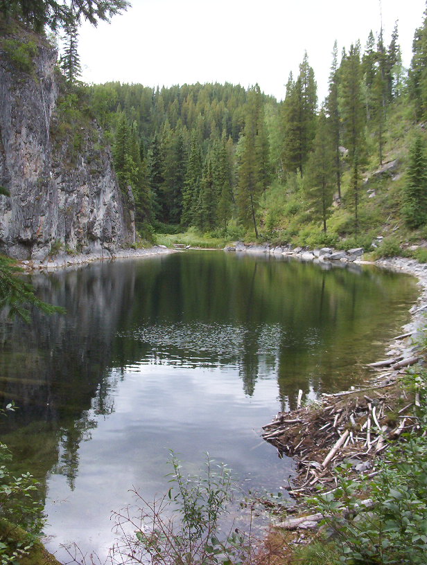
A reusable trail line has not yet been verified for this outing. Any location pin shows the published location described above; it does not draw the hike or establish a navigable approach.
From Tumbler Ridge, travel 12.8 km south on Highway 52 and turn right onto Kinuseo Road.
Follow the signed park road to the campground; gravel begins after about 3.5 km and washboard is common.
Parking: For the northern approach, park in the day-use area at Kinuseo Falls campground near road kilometre 50. The separate falls-viewpoint road is not the backpacking start.
Full access notes
From Tumbler Ridge, travel south on Highway 52 for approximately 13–14 km and turn right onto Kinuseo Falls Road. Continue on the signed park approach, keeping left at the junction after the first Murray River crossing. The gravel road is prone to washboard and potholes; allow slow travel and follow industrial-road signs. For the backcountry trail, park in the day-use area at Kinuseo Falls campground, around road kilometre 50. The signed one-kilometre spur to the falls parking is a different destination.
Map position: 54.76508, -121.20645 · shared parking. Official BC Parks GPS download contains a named Point placemark: Monkman Lake Trailhead and Day Use Parking. WNMS and BC Parks describe the lake/cascades route starting at this campground trailhead; the tarns extend beyond Monkman Lake. The marker is the trip start, not the remote destination.
Monkman Lake Trailhead and Day Use Parking · 54.76508, -121.20645. Named waypoint in BC Parks published Monkman GPSnavigation file. Location source (opens original source)
On the trail
Start behind the campground and follow the Murray River approach about 7 km to the suspension bridge; Murray River Camp is on a downstream side path.
Climb and traverse the limestone ridge, then descend toward Trot Camp around kilometre 14–15.
Continue to the waterfall branches around kilometres 18 and 21 and the Devil’s Creek crossing near kilometre 22.
Full route notes
Start at the back of Kinuseo Falls campground and follow the east side of the Murray River for about 7 km to the suspension bridge. Murray River Camp is reached on a short downstream side path. Beyond the crossing, climb onto the limestone ridge, follow its open cliff-top sections and descend toward Trot Camp around trail kilometre 14–15. Continue through enclosed forest toward the Monkman Creek cascades. Side-trail access is described around kilometres 18 and 21 and near the Devil’s Creek crossing at kilometre 22. These branches lead to different waterfalls rather than one continuous flat viewing path; several sections need route-finding and careful movement near cliffs and fast water. The main lake trail continues beyond the waterfall branches, but a Cascades trip can turn back after exploring the selected viewpoints. The local guide suggests roughly three days for a return Cascades backpack and longer if visiting Monkman Lake. The number of individual falls differs between sources because some include tributary or paired cascades; use the named stops and map rather than counting falls as a navigation method.
The way back
Return along the northern approach after the chosen waterfall side trips. The historical 45 km itinerary is not a measured total for every branch combination.
Conditions & seasons
Mountain weather is changeable even in summer, with cool rain and wind common. BC Parks says the access road is maintained only to kilometre 21 in winter, so the summer road-end start is not a normal winter driving destination. Water must be treated, and overnight parties need a stove and a complete backcountry plan.
These are dated research notes. Open the trip planner for current available weather and advisory feeds; no alert found does not establish that a trail or road is open.
Backcountry stages include Murray River Camp near kilometre 7, Trot Camp around kilometre 15, Cascades Camp around kilometre 20, Devil’s Creek Camp around kilometre 22 and Monkman Lake Camp around kilometre 25. Those are walking distances along the northern route, not road accesses. Use designated camps, confirm current facilities with BC Parks and protect food from wildlife. Treat all natural water and check current fire restrictions.
Photos of Monkman Cascades
A photograph with confirmed reuse permission has not yet been added to this guide.
Original photo galleries
These galleries stay on their photographers’ original websites.
Descriptions are written for this guide from the linked evidence. Source review dates, published reports and field observations can differ. Photographs and route lines retain their own attribution and reuse terms.