Korky Lake
A short lake outing within the forest network behind UNBC, also spelled Corky Lake in local material. The published four-kilometre return description lacks a verified sequence of trail junctions.
Sources reviewed . This is a research date, not a trail inspection.
- Distance
- 4 kmTrip basis unconfirmed
- Elevation gain
- Not establishedCumulative ascent for this outing has not been established.
- Walking time
- 2 - 3 hours
- Difficulty
- ModerateThere and Back
Map & elevation
A reliable location has not yet been established for this guide. Use the original access description while this is researched.
A reusable trail line has not yet been verified for this outing. Any location pin shows the published location described above; it does not draw the hike or establish a navigable approach.
Getting there & parking
Use the UNBC-side Cranbrook Hill Greenway trailhead off University Way: pass the university entrance, take the next signed right and then the left into the parking area. This reaches the wider network behind UNBC, not a confirmed lake-specific trailhead. Identify the current signed connection to Corky/Korky Lake on the network map before starting; the brief club entry does not publish its intermediate turns.
On the trail
The local listing describes approximately 4 km there and back and two to three hours, but it does not supply enough detail to promise a turn-by-turn lake route. Stay on the mapped network and establish the lake branch before leaving a known junction. Do not substitute the Greenway’s through-route or an informal bushwhack for the missing connection. If the lake path cannot be positively identified from current signage and a reliable map, choose a documented Greenway or Forests for the World route instead. The uncertainty concerns the final route connection, not the existence of the lake outing.
Distance and elevation source notes
4 km
Conditions & seasons
Season-specific access has not been established in this guide. Read the dated notices and original land-manager information before choosing a departure date.
These are dated research notes. Open the trip planner for current available weather and advisory feeds; no alert found does not establish that a trail or road is open.
Camping & overnight plans
On-route camping permission has not been established for this outing. Check the relevant land manager before planning an overnight stay; a mapped lake, cabin or previous tent location does not confirm permission.
Photos of Korky Lake
A photograph with confirmed reuse permission has not yet been added to this guide.
Original photo galleries
These galleries stay on their photographers’ original websites.
- Korky Lake June 13, 2026 (opens original source) · Caledonia Ramblers
- Korky Lake November 10, 2024 (opens original source) · Caledonia Ramblers
Take this guide with you
Choose a trip pack or an available individual sheet for your map case.
Sources, dates & research notes
Descriptions are written for this guide from the linked evidence. Source review dates, published reports and field observations can differ. Photographs and route lines retain their own attribution and reuse terms.
- https://caledoniaramblers.ca/trails/korky-lake (opens original source)
- https://caledoniaramblers.ca/trails/greenway-trails (opens original source)
Details still being researched
- gainM
- directions
- dogs
- accessibility
- camping
- seasonal
Nearby and related guides
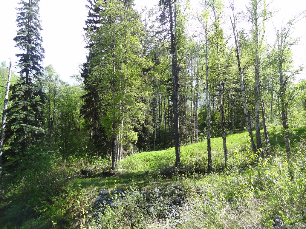 Photo: Andrew Kurjata · CC BY-NC-SA 2.0 · Noncommercial onlyWalks · Prince George
Forests for the World
A forest network on Cranbrook Hill with Shane Lake, picnic shelters and connections toward UNBC and the Greenway. Choose a short lakeside outing or extend onto the hill’s longer…
15.2 km of trails · Choose your walking routeRead guide →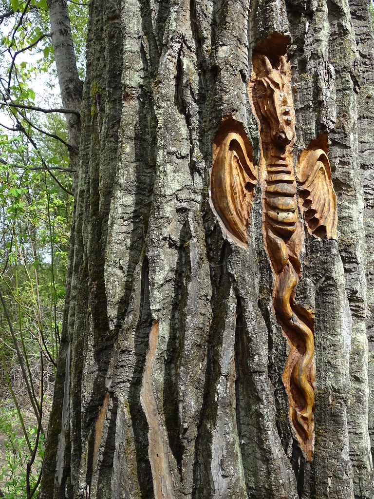 Photo: Adam Jones · CC BY 2.0Walks · Prince George
Cottonwood Island Nature Park Trail
Riverbank paths, bridges and tree-bark carvings make Cottonwood Island a varied low-level walk near the Nechako–Fraser confluence. There are several entrances and route…
2.2 km · trip basis unconfirmedRead guide →- Walks · Prince George
Ferguson Lake Nature Reserve
A mostly gentle circuit around a small lake at Prince George’s northern edge, with boardwalks, a fishing dock and remnants of early homesteads. It is a useful short nature walk…
Easy / 2.4 km loop / 40 m gainRead guide →  Photo: Andrew Kurjata · CC BY-NC-SA 2.0 · Noncommercial onlyWalks · Prince George
Moore’s Meadow Park Trail
Wooded paths descend into a glacial kettle and open meadow within the city. Several entrances and connecting trails make it easy to vary the walk, with a climb back out at the end.
9.5 km of trails · Choose your walking routeRead guide →- Walks · Prince George
LC Gunn Park
An elevated walk above the Fraser River links LC Gunn Park with the cutbank corridor toward the Simon Fraser Bridge. Viewpoints reward a short visit, while the full return walk is…
Easy / 7 km round trip / 85 m gainRead guide →  Photo: Andrew Kurjata · CC BY-NC-SA 2.0 · Noncommercial onlyWalks · Prince George
Cranbrook Hill Greenway
A long wooded corridor connecting the UNBC side of Cranbrook Hill with Otway, with access to Forests for the World along the way. It supports short return walks as well as a much…
23 km of trails · Choose your walking routeRead guide →