A forest network on Cranbrook Hill with Shane Lake, picnic shelters and connections toward UNBC and the Greenway. Choose a short lakeside outing or extend onto the hill’s longer paths; the published network length is not the length of a single loop.
Sources reviewed . This is a research date, not a trail inspection.
The published measurements describe the wider trail network. Your walk’s length and climbing depend on the trails you choose. Choose a listed route option for its own measurements.
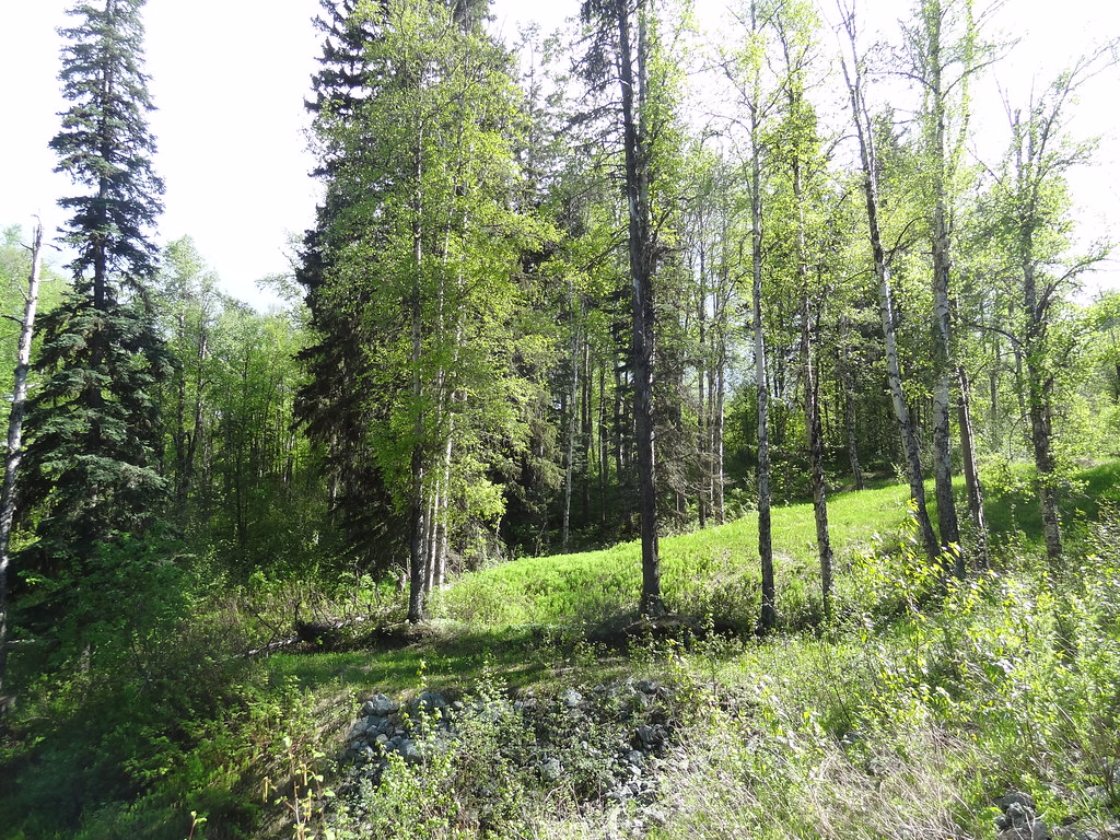
A wooded path in Forests for the World in late May 2013. Historical trail scene; it does not confirm today’s surface conditions.DSC04742 (opens original source) · Andrew Kurjata · CC BY-NC-SA 2.0 (opens original source) · 2013-05-26. Provider display size downloaded; no local edits. Display may crop the view. Adaptations retain the image licence. · Noncommercial only
Trail network map
Opening the map…
Elevation profile
A full-route elevation profile is not available yet. The mapped paths have not been verified as one continuous outing.
Choose a specific route where available. Individual map fragments are not shown as separate hike stages.
More maps & trail files
AllTrails map
Forests for the World Lookout on AllTrails
A named loop outing of approximately 2.3 km within this wider network. Its specific start and trail sequence remain separate from our general network guide; it is not a network-wide distance.
From Foothills Boulevard take Cranbrook Hill Road uphill. At the top, turn left onto Kueng Road and continue south to the main park parking area, listed by the City at 2323 Kueng Road. For an outing starting nearer UNBC, use the Greenway trailhead off Tyner Boulevard west of the university. These entrances serve different parts of the network: save the name of the lot you used before setting out.
Estimated drive from Prince George: 16 min · 9.2 km. Modeled one-way driving time from downtown Prince George using mapped road speeds, rounded up to a whole minute. No live traffic or invented forest-road multiplier. The final Kueng Road approach is gravel; follow the signed main lot.
Map position: 53.89496, -122.83207 · Kueng Road main-parking access (address-geocoded). BC Address Geocoder matched the City-published 2323 Kueng Road address at CIVIC_NUMBER precision with an accessPoint descriptor, score 100 and medium positional accuracy. The City explicitly directs visitors along Kueng Road to the main Forests for the World parking lot. The published Shane Lake route starts at this lot; its mapped entrance is about 7 m from this access point. This coordinate identifies the parking approach, not a surveyed parking bay or a field-verified trailhead. Check current access and signs on arrival.
Walking options
Begin with the trail map at your chosen entrance and pick a route to Shane Lake or one of the forest viewpoints. The lake offers a natural picnic stop; the wider network also includes shelters and an Indigenous pit-house. Trails range from broad, firm paths to narrower singletrack and less obvious informal connections, so an unfamiliar side trail can turn a short walk into a much longer outing. Follow mapped junctions back to your original entrance rather than assuming every path returns to the same parking lot. The City lists accessible picnic tables and outhouses, but access to the fishing dock includes stairs; those facilities do not establish accessibility for the whole network.
Terrain: gravel.
Accessibility
City lists wheelchair-friendly outhouses and picnic tables, but dock access uses stairs. Do not mark whole trail network wheelchair accessible.
Distance and elevation source notes
Varies by trails taken (1 - 20 km)
60 - 150 m
50 m, source calls this elevation without gain definition
Source comparison: Ramblers choice of forest outings; 1–20 km depending on selected paths distance; 60–150 m depending on route ascent; 1–5 hours duration; route choices, not a single itinerary scope. A source edition, network range or unresolved start/endpoint is not a separate route.
Conditions & seasons
Season-specific access has not been established in this guide. Read the dated notices and original land-manager information before choosing a departure date.
These are dated research notes. Open the trip planner for current available weather and advisory feeds; no alert found does not establish that a trail or road is open.
On-route camping permission has not been established for this outing. Check the relevant land manager before planning an overnight stay; a mapped lake, cabin or previous tent location does not confirm permission.
Photos of Forests for the World
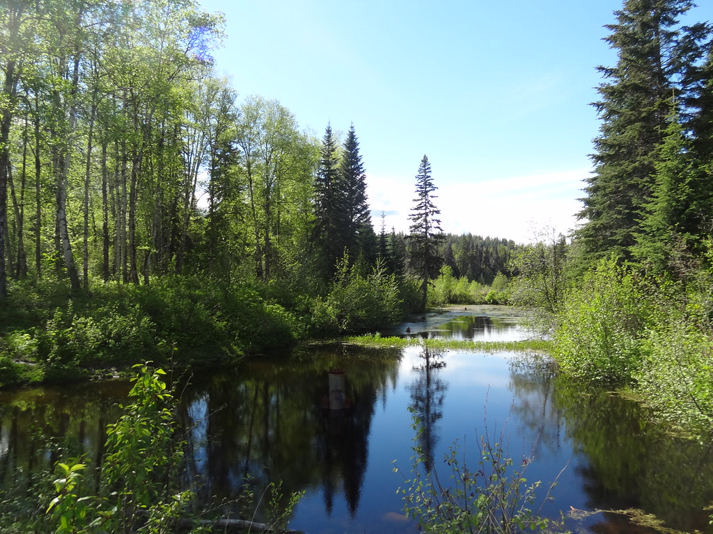
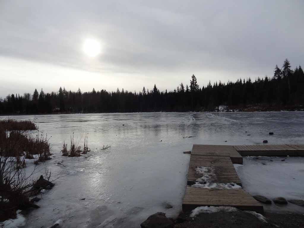
A wooded path in Forests for the World in late May 2013. Historical trail scene; it does not confirm today’s surface conditions.DSC04742 (opens original source) · Andrew Kurjata · CC BY-NC-SA 2.0 (opens original source) · 2013-05-26. Provider display size downloaded; no local edits. Display may crop the view. Adaptations retain the image licence. · Noncommercial onlyA forest pond beside the path in Forests for the World, 26 May 2013.DSC04743 (opens original source) · Andrew Kurjata · CC BY-NC-SA 2.0 (opens original source) · 2013-05-26. Provider display size downloaded; no local edits. Display may crop the view. Adaptations retain the image licence. · Noncommercial onlyEarly winter at the lake in Forests for the World, 18 November 2012. This historical photo is not evidence that lake ice is safe.DSC03296 (opens original source) · Andrew Kurjata · CC BY-NC-SA 2.0 (opens original source) · 2012-11-18. Provider display size downloaded; no local edits. Display may crop the view. Adaptations retain the image licence. · Noncommercial only
Original photo galleries
These galleries stay on their photographers’ original websites.
Descriptions are written for this guide from the linked evidence. Source review dates, published reports and field observations can differ. Photographs and route lines retain their own attribution and reuse terms.