The route follows the Fraser escarpment from the east end of Yellowhead Bridge through L.C.Gunn Park toward Simon Fraser Bridge. The description gives 3.5 km end to end and 7 km return; another sentence rounds the segment to 3 km. Stay back from the cutbank edge and select a complete return outing or transport arrangement for a traverse.
Sources reviewed . This is a research date, not a trail inspection.
85 mPublished route measurement Published ascent for the full return outing
Walking time
2–3 hoursfor the full return outing
Difficulty
EasyThere and Back
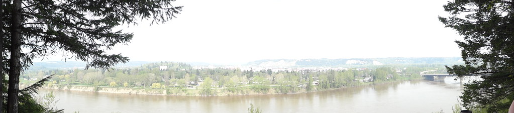
Panoramic view across the Fraser River from LC Gunn, photographed on 11 May 2013.DSC04589 (opens original source) · Andrew Kurjata · CC BY-NC-SA 2.0 (opens original source) · 2013-05-11. Provider display size downloaded; no local edits. Display may crop the view. Adaptations retain the image licence. · Noncommercial only
Map & elevation
Opening the map…
Elevation profile
A full-route elevation profile is not available yet. The mapped paths have not been verified as one continuous outing.
Choose a specific route where available. Individual map fragments are not shown as separate hike stages.
More maps & trail files
AllTrails map
LC Gunn riverbank outing on AllTrails
Explore Magazine links this longer LC Gunn return, describing 7.4 km and a different ascent estimate from the primary 7 km/85 m account. Use the chosen entrance and turnaround rather than merging the figures.
City mapped trail segments / park network; not a single measured hiking itinerary. Published source geometry is a reference; current access and a continuous navigable itinerary are not established. Line source (opens original source).
Getting there & parking
Start on the east side of the Fraser River at the Yellowhead Bridge end of the route. The City lists LC Gunn Park at 234 Highway 16. The trail continues south above the cutbanks toward the Simon Fraser Bridge; parking and access at one bridge should not be confused with the other end. Plan to return on foot unless you have deliberately arranged a point-to-point trip.
Estimated drive from Prince George: 5 min · 3.9 km. Modeled one-way driving time from downtown Prince George using mapped road speeds, rounded up to a whole minute. No live traffic or invented forest-road multiplier. Use Guay Road and the signed gravel park entrance. This is the north trailhead; a one-way walk still requires a return plan.
Map position: 53.90706, -122.72430 · park reference point derived inside official boundary. Official City ParkName=LC Gunn Park; OBJECTID=1434; active park polygon. Marker computed inside its largest polygon, checked against exterior and holes.
Park location marker for orientation; not a source-published parking point or trailhead. Neighbourhood park existence does not establish a named hiking route.
On the trail
From the east end of the Yellowhead Bridge, follow the path through LC Gunn Park.
Continue south along the high Fraser River cutbanks toward the Simon Fraser Bridge, keeping well back from the escarpment.
Full route notes
Follow the established path through LC Gunn Park and south along the high bank of the Fraser River. Elevated viewpoints look across toward downtown and the southern city, with interpretive signs along the park trail. The full corridor is approximately 3.5 km end to end, or roughly 7 km if you retrace it. Shorter visits can turn back at any suitable viewpoint. Stay well away from the edge of the escarpment, even where an informal track approaches it. The route remains above the river rather than descending to a riverside walking path. A clearing report is dated April 3, 2026; later wind, rain or erosion may alter the surface.
The way back
Retrace the high-bank route to the start. Walking the full corridor both ways is about 7 km; a one-way trip needs separately arranged transport.
Terrain: rough route.
Conditions & seasons
Season-specific access has not been established in this guide. Read the dated notices and original land-manager information before choosing a departure date.
Blowdown cleared
The source reports fallen-tree clearing on April 3,2026.
These are dated research notes. Open the trip planner for current available weather and advisory feeds; no alert found does not establish that a trail or road is open.
On-route camping permission has not been established for this outing. Check the relevant land manager before planning an overnight stay; a mapped lake, cabin or previous tent location does not confirm permission.
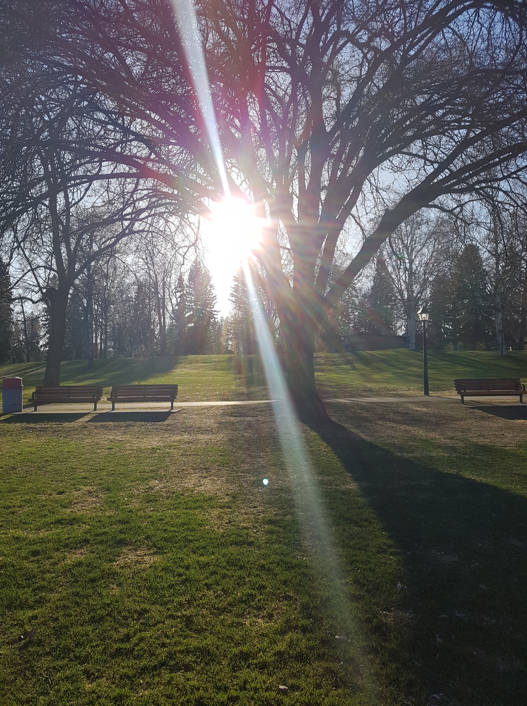
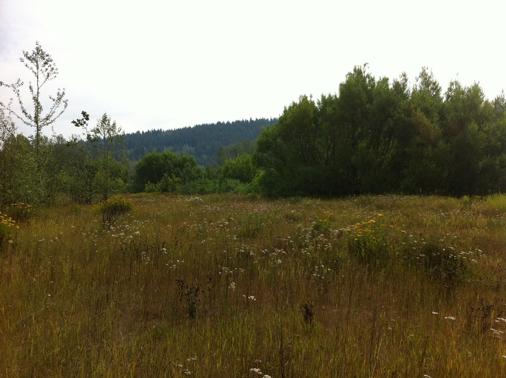
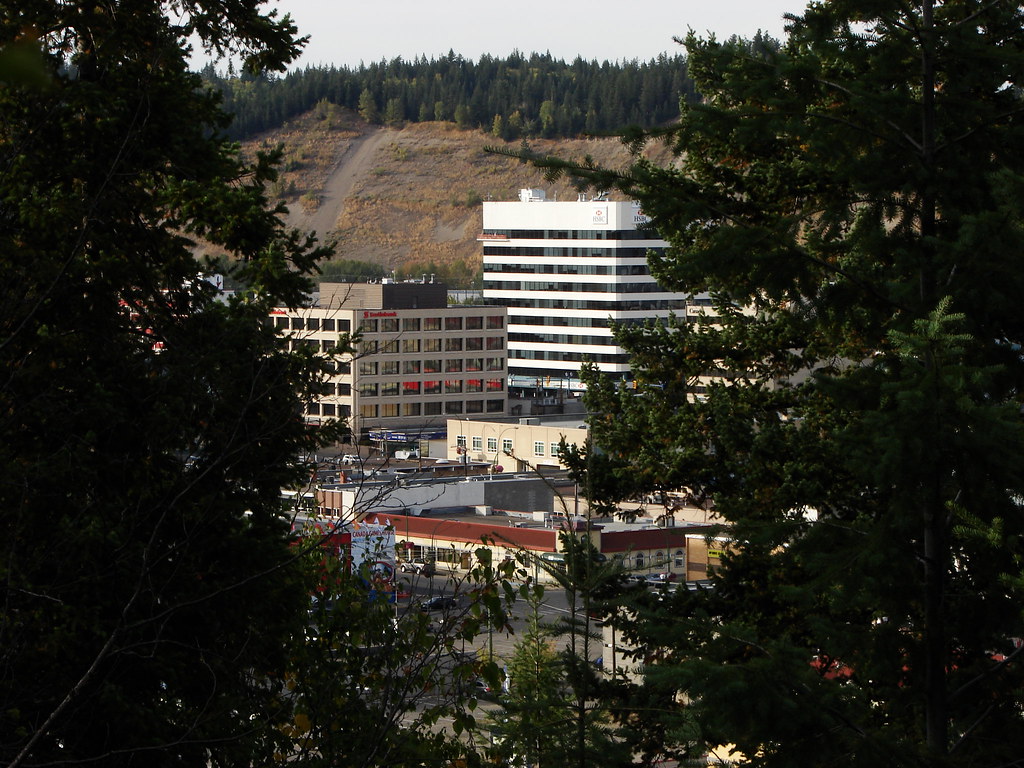
Photos of LC Gunn Park — LC Gunn/Fraser Cutbanks
Panoramic view across the Fraser River from LC Gunn, photographed on 11 May 2013.DSC04589 (opens original source) · Andrew Kurjata · CC BY-NC-SA 2.0 (opens original source) · 2013-05-11. Provider display size downloaded; no local edits. Display may crop the view. Adaptations retain the image licence. · Noncommercial only
Original photo galleries
These galleries stay on their photographers’ original websites.
Descriptions are written for this guide from the linked evidence. Source review dates, published reports and field observations can differ. Photographs and route lines retain their own attribution and reuse terms.