McMillan Creek Regional Park
A wooded ravine walk leads to Nechako cutbank viewpoints above Prince George. The park offers a shorter direct lookout visit and a longer trail option, which should be selected separately.
Sources reviewed . This is a research date, not a trail inspection.
- Distance
- 2.5 kmTrip basis unconfirmed
- Elevation gain
- Not establishedCumulative ascent for this outing has not been established.
- Walking time
- Less than 3 hours
- Difficulty
- EasyThere and Back
Map & elevation
Partial elevation profile
Mapped portion · walking direction unconfirmed · 1.48 km
This chart covers only part of the route. It does not establish the full hike or a return journey.
Coverage and elevation sources
1.48 km along source section 1 of 1, in its mapped direction. Approximate 90 m terrain model along this mapped section. Separate sections are not joined. This chart does not measure total trail ascent or establish current access; use the guide’s published outing measurements.
Copernicus GLO-90 terrain elevations via Open-Meteo (CC BY4.0); linework: Open Database License (ODbL) 1.0 · checked 2026-10-18 · CC BY4.0 elevation data; Open Database License (ODbL) 1.0 linework. Copernicus DEM 2021 GLO-90 via Open-Meteo. Linework source: https://www.openstreetmap.org/way/423556057. Sampled and rounded for display.
Mapped named trail. Shows the named source trail. The full published outing, return journey and current on-the-ground alignment are not independently established by this line. Line source (opens original source).
Getting there & parking
Use the regional park access on Hoferkamp Road. This is different from the City’s McMillan Creek Fishing Park on Prince George Pulpmill Road; navigating to the latter does not put you at the regional trailhead. The regional district lists opening from May 1 to November 1, 6 am–11 pm. Check the sign at the entrance for current gate restrictions.
Map position: 53.93038, -122.75497 · park location pin linked by regional district. Official RDFFG Map link resolves to place pin !3d53.9303813!4d-122.7549715; the map viewport coordinates were not used. Published park pin; exact trailhead parking position is not independently verified.
On the trail
From the park entrance, choose the short direct trail to the cutbank lookout or the longer path through the forested ravine. The regional district lists the shorter option at 1 km and the longer at 2.5 km without clearly defining whether those figures are return distances, so retain the selected route’s stated scope. Interpretation covers the creek and surrounding Douglas-fir habitat. Remain on the established viewpoint approach rather than descending the cutbank. McMillan Creek supports spawning fish and has special fishing regulations; a scenic walk does not imply unrestricted creek access or fishing permission. Picnic tables and toilets are available in the park.
Distance and elevation source notes
5 km
gentle slopes
Source comparison: Regional park longer trail; 2.5 km; operator trail length, return basis unstated scope. This is another description of the main outing, a duplicate endpoint, an unscoped source claim, or a related facility.
Conditions & seasons
The regional park manager lists seasonal hours of May 1–November 1, 6 am–11 pm. This published schedule is not a confirmation of current access; check the manager before visiting.
These are dated research notes. Open the trip planner for current available weather and advisory feeds; no alert found does not establish that a trail or road is open.
Camping & overnight plans
On-route camping permission has not been established for this outing. Check the relevant land manager before planning an overnight stay; a mapped lake, cabin or previous tent location does not confirm permission.
Photos of McMillan Creek Regional Park
A photograph with confirmed reuse permission has not yet been added to this guide.
Original photo galleries
These galleries stay on their photographers’ original websites.
- McMillan Creek Regional Park — official photographs (opens original source) · Regional District of Fraser-Fort George
Take this guide with you
Choose a trip pack or an available individual sheet for your map case.
Sources, dates & research notes
Descriptions are written for this guide from the linked evidence. Source review dates, published reports and field observations can differ. Photographs and route lines retain their own attribution and reuse terms.
- https://www.rdffg.ca/in-your-community/parks/mcmillan-creek-regional-park (opens original source)
- https://caledoniaramblers.ca/trails/mcmillan-creek-park (opens original source)
- https://caledoniaramblers.ca/trails?page=2 (opens original source)
OpenStreetMap line references (1)
These contributor-mapped features support the map geometry. They are separate from the written access and route sources.
Other route names still being researched (1)
These names appear in source inventories, but an individual walking guide has not been established yet.
- Direct lookout approach
Details still being researched
- gainM
- dogs
- accessibility
- camping
Nearby and related guides
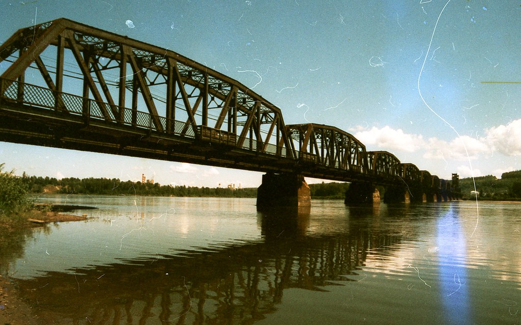 Photo: ₡ґǘșϯγ Ɗᶏ Ⱪᶅṏⱳդ · CC0 1.0Walks · Prince George
Heritage River Trail System
A mostly level city network links river views, wetlands and major parks along the Fraser and Nechako. Some Nechako-side sections are no longer available, so it must be planned as…
9.2 km of trails · Choose your walking routeRead guide →- Walks · Prince George
Duchess Park
A neighbourhood park with lit multi-use paths, an accessible playground and a separate fenced dog area. It fits a short stroll or family stop rather than a remote hiking itinerary.
Read the access and route notesRead guide → 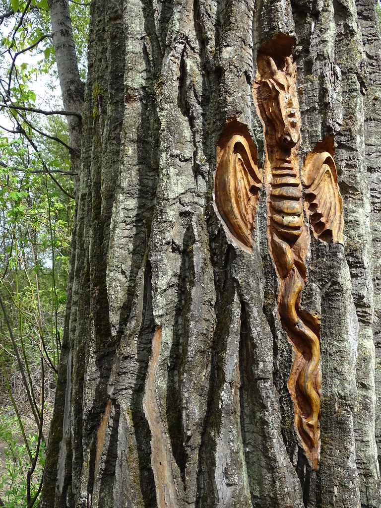 Photo: Adam Jones · CC BY 2.0Walks · Prince George
Cottonwood Island Nature Park Trail
Riverbank paths, bridges and tree-bark carvings make Cottonwood Island a varied low-level walk near the Nechako–Fraser confluence. There are several entrances and route…
2.2 km · trip basis unconfirmedRead guide →- Walks · Prince George
PG 50
An endurance walk combines city parks, river corridors and the full Cranbrook Hill Greenway into a roughly 50 km day. It is a stitched itinerary across several networks rather…
Expert / 50 km loopRead guide → 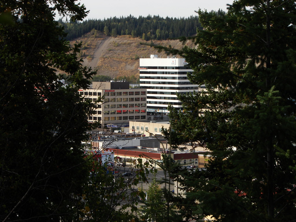 Photo: Pipers Creek · CC BY-NC 2.0 · Noncommercial onlyWalks · Prince George
Connaught Hill Park
A landscaped hilltop park with broad city views, flower beds and picnic space. Walking approaches include stairs and a trail, while a seasonal vehicle road provides a different…
Read the access and route notesRead guide →- Walks · Prince George
Rainbow Park
A landscaped city park combines flower beds, wooded glacial depressions and short nature paths. It is a flexible park stroll with picnic space rather than a single measured hiking…
Read the access and route notesRead guide →