This is an area guide covering several possible trips. Choose an individual outing for its route measurements, trail map and downloads. Browse Valemount & Mount Robson guides →
Reach Mount Robson on Highway 16 east of McBride and Tête Jaune Cache. Use the individual route’s access directions for the final parking.
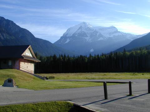
Parking: Parking is specific to the chosen outing: the Welcome Centre, Kinney Lake Road trailhead, individual highway viewpoints or eastern wilderness trailheads. There is no single park-wide hiking start.
Full access notes
The source places Mount Robson Provincial Park about 284 km east of Prince George along Highway 16. This locates the park, not every trailhead within it.
Map position: 52.96667, -118.83333 · park / protected area reference point (not a trailhead). BC Gazetteer: Mount Robson Park | Provincial Park | 52 57 59 N | 118 49 59 W | WGS84 | mapsheet 83D/15
Official named-feature location, not parking or a verified route start. This point supports regional orientation and area forecasts; road directions and distance-to-trailhead must use a separately verified access point.
Choosing an outing
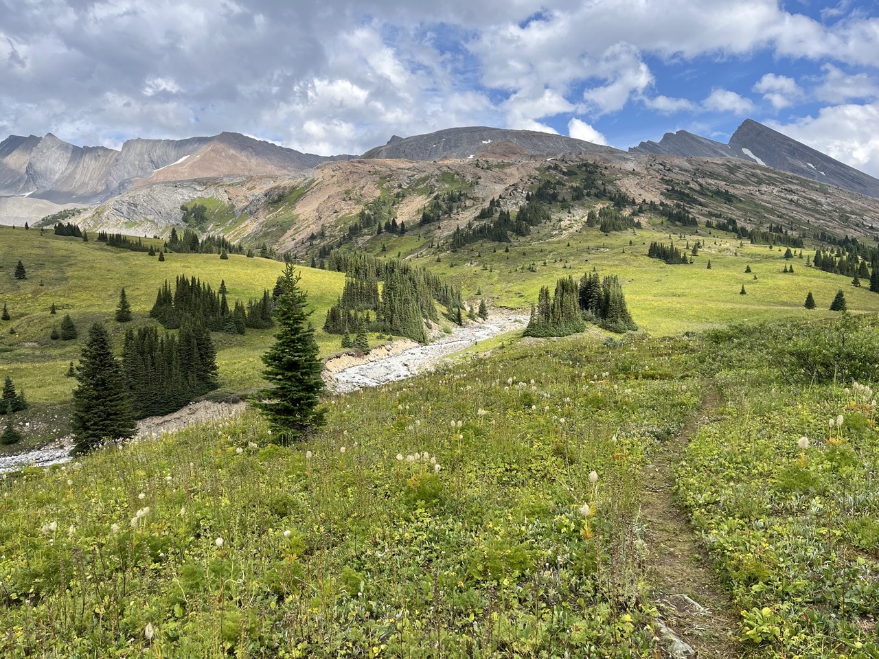
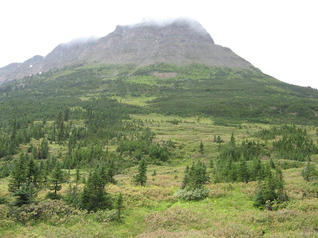
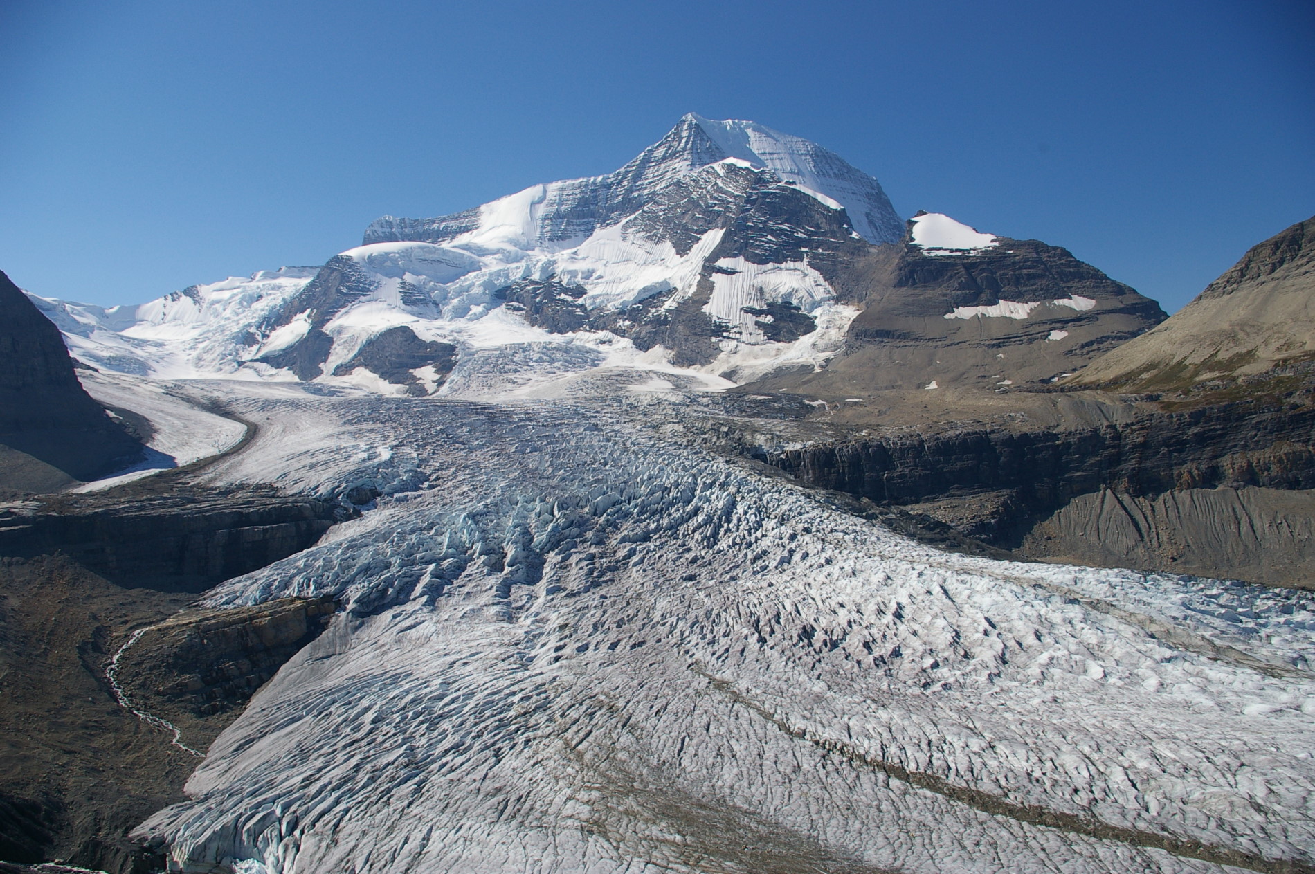
This park overview helps choose among separate outings. Near the Welcome Centre, Journey Through Time and Robson Meadows Lookout provide short walks, while Kinney Lake starts at the end of Kinney Lake Road and the upper Berg Lake corridor is a long backpack. Rearguard and Overlander waterfalls have different roadside starts. Farther east, Yellowhead Mountain, Fitzwilliam and Moose River use separate highway accesses and much more demanding mountain routes. Select the individual guide before comparing distance, elevation, parking or camping; there is no single trail that represents the whole park.
Distance and elevation source notes
1 - 20 km
up to 1000 m
Conditions & seasons
Season-specific access has not been established in this guide. Read the dated notices and original land-manager information before choosing a departure date.
Robson watercraft and wading equipment restriction
From May 4, 2026, BC Parks prohibits watercraft and wading equipment throughout Mount Robson Park waters to limit aquatic disease spread. This includes powered and unpowered craft, inflatables, wading clothing and boots. The hiking trails are not closed by this notice.
Snowshoe and ski use follows hiking trails without set tracks. Mountain conditions and avalanche exposure vary considerably between routes; select a specific winter itinerary rather than applying a park-wide rating.
These are dated research notes. Open the trip planner for current available weather and advisory feeds; no alert found does not establish that a trail or road is open.
Vehicle-accessible campground areas and the reserved Berg Lake backcountry camps have separate rules and operating seasons. Choose the actual campground, book where required, and check current park notices before planning the overnight. Watercraft and wading-gear restrictions and individual trail closures are park-specific matters that may affect the planned activity.
Descriptions are written for this guide from the linked evidence. Source review dates, published reports and field observations can differ. Photographs and route lines retain their own attribution and reuse terms.