Little Lost Lake picnic area
Climb then level approach to lakeside picnic spots.
Sources reviewed . This is a research date, not a trail inspection.
The locations GPX contains sourced points with their recorded roles. It contains no trail track or connecting route.
- Distance
- 3.4 kmRound trip
- Elevation gain
- 120 mPublished route measurement
- Walking time
- 1¾–2½ hoursdepending on picnic or circuit option
- Difficulty
- ModerateOut and back with optional lake loop
Map & elevation
Elevation profile
A full-route elevation profile is not available yet.
A reusable trail line has not yet been verified for this outing. Any location pin shows the published location described above; it does not draw the hike or establish a navigable approach.
Getting there & parking
From the Highway 5/16 junction at Tête Jaune Cache, travel east on Highway 16 for about 1.5 km. Park in the pullout at the avalanche-control gates beyond the weigh scales, keeping the gates and operational space clear. Cross the highway carefully, then walk a short distance back toward the trailhead sign among the trees on the north side. The lake is reached on foot; the roadside pullout is the vehicle access.
Estimated drive from Prince George: 3 hr 43 min · 274.1 km. Modeled one-way driving time from Prince George City Hall, using mapped road speeds. Forest-road sections can take substantially longer: surface, clearance, radio procedures, gates, washouts, plowing, and legal access are not verified by the router. No live traffic or invented forest-road multiplier is included. Allow extra time and check the dated access notes.
Map position: 52.97896, -119.39723 · trailhead. source-published; not field-verified
On the trail
Climb the initial forest slope from the highway and continue on the gentler upper approach to Little Lost Lake, roughly 1.7 km from the start. Two picnic areas are described at the lake, with the second reached to the left along the shore. Turn around at the picnic area and return down the approach for about 3.4 km total. Continuing around the lake or up the steep viewpoint branch changes the outing. Picnic tables and an outhouse are listed by the local trail guide.
Conditions & seasons
The local guide recommends spring, summer and autumn for the ordinary lake walk. Mosquitoes can be persistent in summer; wet weather particularly affects the exposed Grind extension. Highway access and snow can change a winter visit.
These are dated research notes. Open the trip planner for current available weather and advisory feeds; no alert found does not establish that a trail or road is open.
Camping & overnight plans
The current local guide describes picnic facilities and an outhouse, and explicitly prohibits fires. It does not confirm an operating campground or current overnight permission; historical tent-pad references should not be treated as a present booking entitlement.
Photos of Little Lost Lake picnic area
A photograph with confirmed reuse permission has not yet been added to this guide.
Original photo galleries
These galleries stay on their photographers’ original websites.
- Little Lost Lake Trail — photographs (opens original source) · Hike Valemount / YORA
Take this guide with you
Choose a trip pack or an available individual sheet for your map case.
Sources, dates & research notes
Descriptions are written for this guide from the linked evidence. Source review dates, published reports and field observations can differ. Photographs and route lines retain their own attribution and reuse terms.
- https://hikevalemount.com/little-lost-lake/ (opens original source)
- https://routing.openstreetmap.de/about.html (opens original source)
- https://mcbridetourism.ca/adventure-outdoor/hiking/ (opens original source)
- https://delivery.maps.gov.bc.ca/arcgis/rest/services/mpcm/bcgwpub/MapServer/280 (opens original source)
OpenStreetMap line references (2)
These contributor-mapped features support the map geometry. They are separate from the written access and route sources.
Nearby and related guides
- Hikes · Valemount & Mount Robson
Little Lost Grind
Steep minimally maintained extension.
Read the access and route notesRead guide → - Hikes · Valemount & Mount Robson
Little Lost Lake circuit
Adds circuit around lake.
Moderate / 4.5 km round tripRead guide → 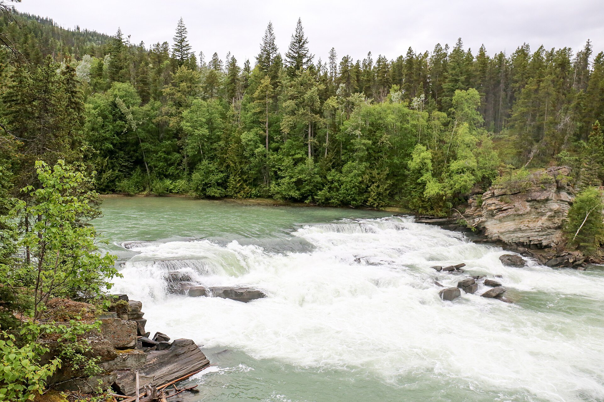 Photo: Ralf Lotys (Sicherlich) · CC BY 4.0Waterfalls · Valemount & Mount Robson
Rearguard Falls
Designated trail to fenced falls viewpoint.
0.4 km round trip / 30 m gainRead guide →- Hikes · Valemount & Mount Robson
Jackman Flats Big Dune Trail
Interconnected sandy pine-and-lichen trail network.
Moderate / 6.2 km loopRead guide → - Hikes · Valemount & Mount Robson
Jackman Flats Juniper Trail
Interconnected sandy pine-and-lichen trail network.
Moderate / 3.4 km loopRead guide → - Hikes · Valemount & Mount Robson
Jackman Flats Lichen Loop
Interconnected sandy pine-and-lichen trail network.
Moderate / 2.3 km loopRead guide →