Ten Mile Lake
Ten Mile Lake Park combines a short nature walk to a beaver pond with a larger forest trail network, beaches and camping. The approximately 2 km nature trail follows part of an abandoned railway corridor, while the park describes around 10 km of trails in total. Choose the nature walk for a focused outing; the network total is not the length of that one route.
Sources reviewed . This is a research date, not a trail inspection.
The locations GPX contains sourced points with their recorded roles. It contains no trail track or connecting route.
- Distance
- 2 km nature trail; 10 km total networkTrip basis unconfirmed
- Elevation gain
- Not establishedgentle slopes
- Walking time
- 3 - 4 hours
- Difficulty
- EasyThere and Back and Loop Trails
Map & elevation
Elevation profile
A full-route elevation profile is not available yet.
A reusable trail line has not yet been verified for this outing. Any location pin shows the published location described above; it does not draw the hike or establish a navigable approach.
Getting there & parking
The park entrance is on Highway 97 approximately 12 km north of Quesnel. Follow the park signs to the day-use parking lot. The self-guided nature trail begins opposite the picnic shelter in that lot, which is a more useful walking start than a general lake-centre map marker. BC Parks states that winter ploughing reaches the first parking lot; do not assume all summer access roads remain driveable.
Map position: 53.07389, -122.44167 · park / protected area reference point (not a trailhead). BC Gazetteer: Ten Mile Lake Park | Provincial Park | 53 04 25 N | 122 26 30 W | WGS84 | mapsheet 93G/1 Official named-feature location, not parking or a verified route start. This point supports regional orientation and area forecasts; road directions and distance-to-trailhead must use a separately verified access point.
On the trail
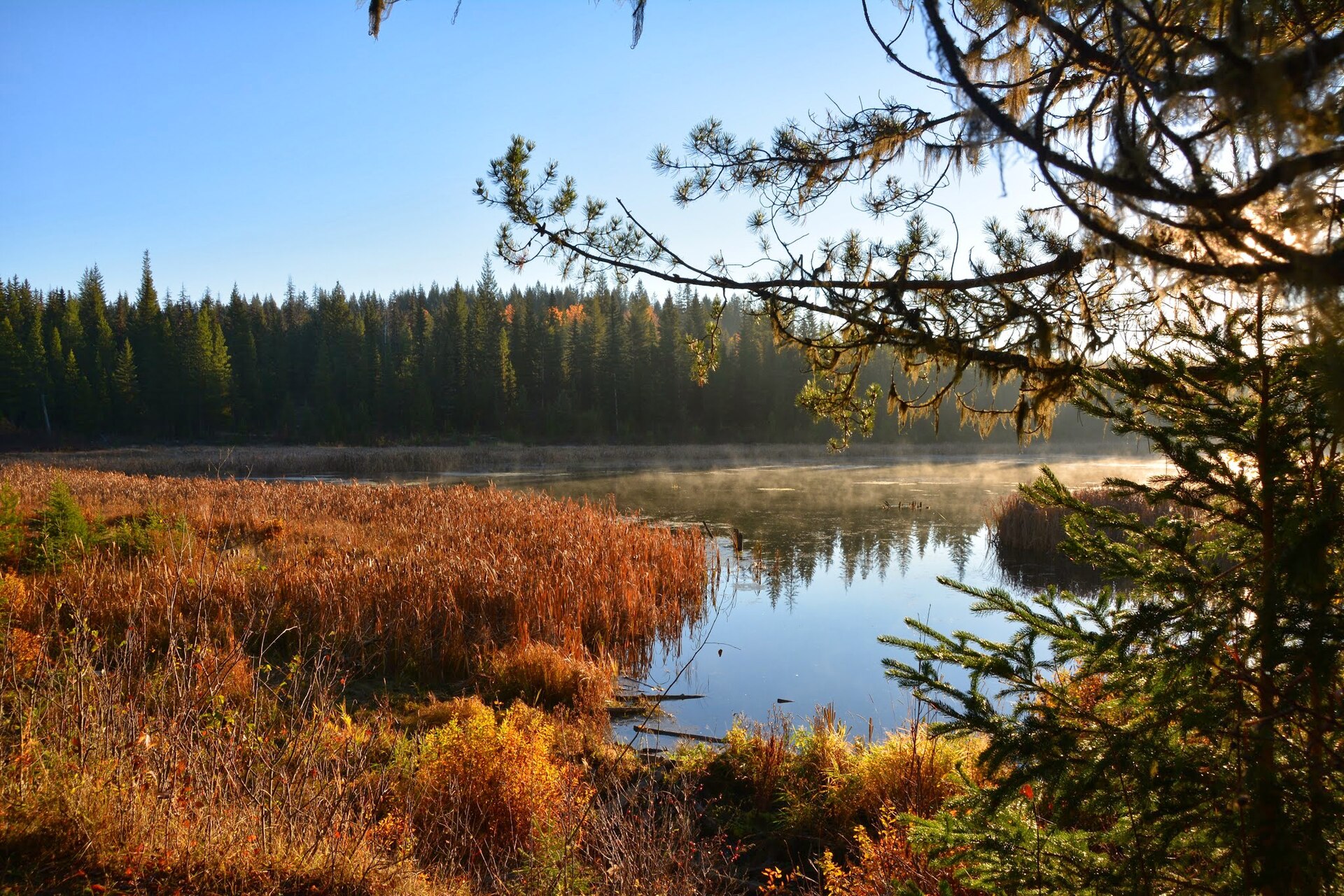
From the day-use lot, take the marked nature trail opposite the shelter and follow the forest route toward the beaver pond. Part of the walk uses the old railway grade. At the pond, look for the lodge, dams and installed waterfowl nesting structures without leaving the path or disturbing the banks. Use the official trail map for the return and any added network loop. Longer forest trails share the park with cyclists in summer and become a cross-country skiing network in winter.
Distance and elevation source notes
4 - 10 km depending on trials taken
gentle slopes
Source comparison: Ten Mile Lake campgrounds; source does not state return basis scope. This is another description of the main outing, a duplicate endpoint, an unscoped source claim, or a related facility.
Conditions & seasons
BC Parks describes about 10 km of cross-country ski trails in winter, with snowshoe opportunities and ploughing to the first parking lot. Use the winter trail layout and respect ski tracks. Frozen-lake activities require a separate assessment of ice conditions.
These are dated research notes. Open the trip planner for current available weather and advisory feeds; no alert found does not establish that a trail or road is open.
Camping & overnight plans
The provincial park has vehicle-accessible camping, showers and flush toilets. Check the BC Parks booking page for the operating season, available sites and reservation rules. Camping facilities do not establish permission to put a tent beside the nature trail.
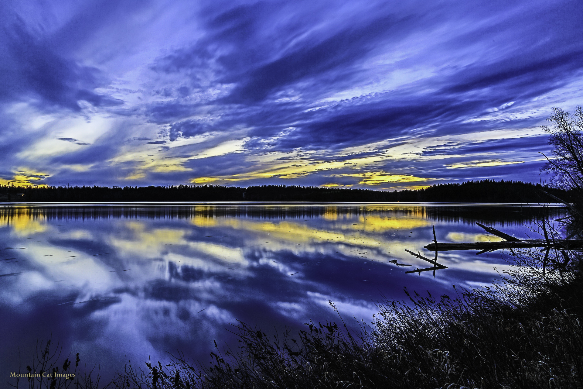
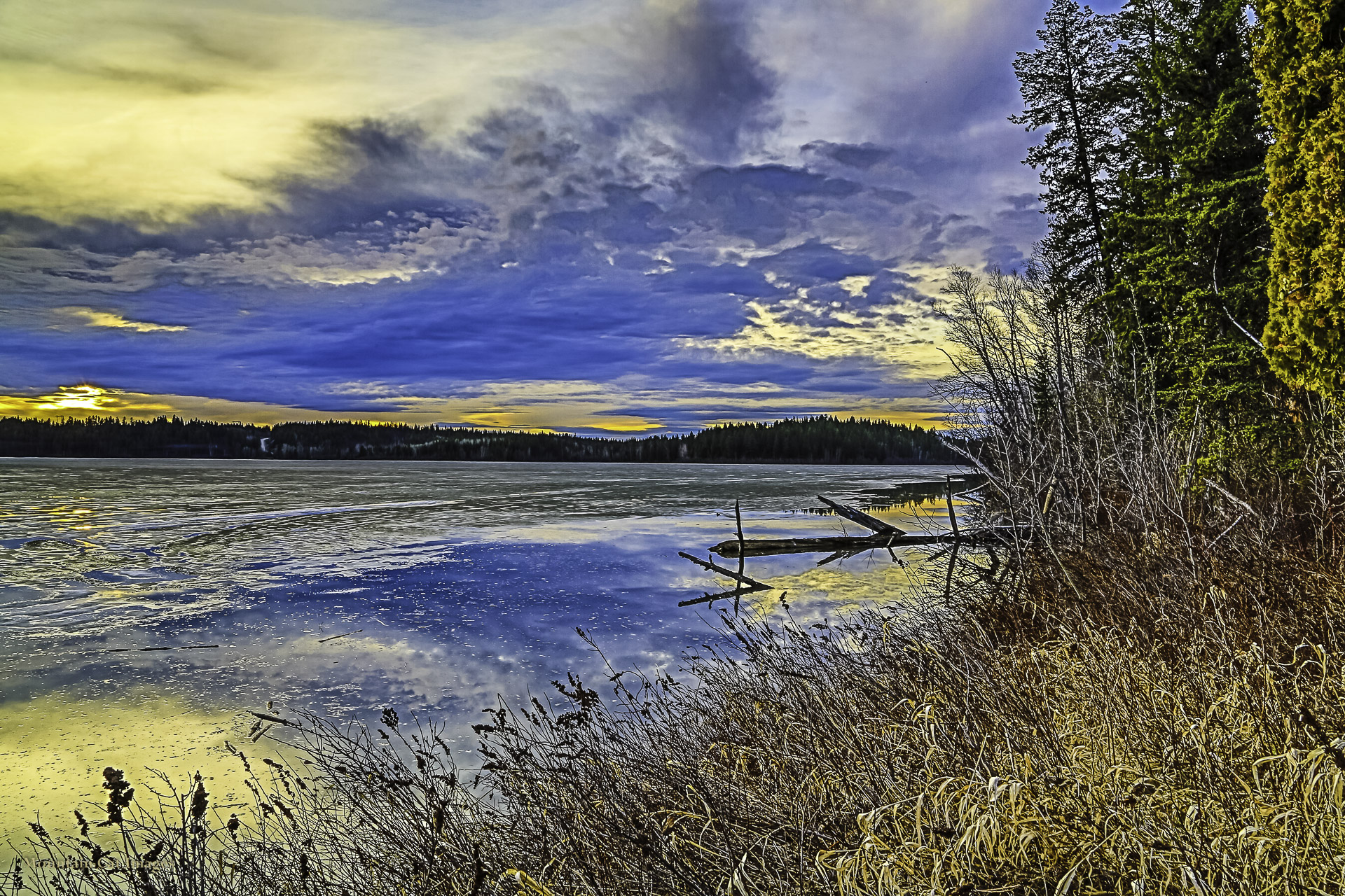
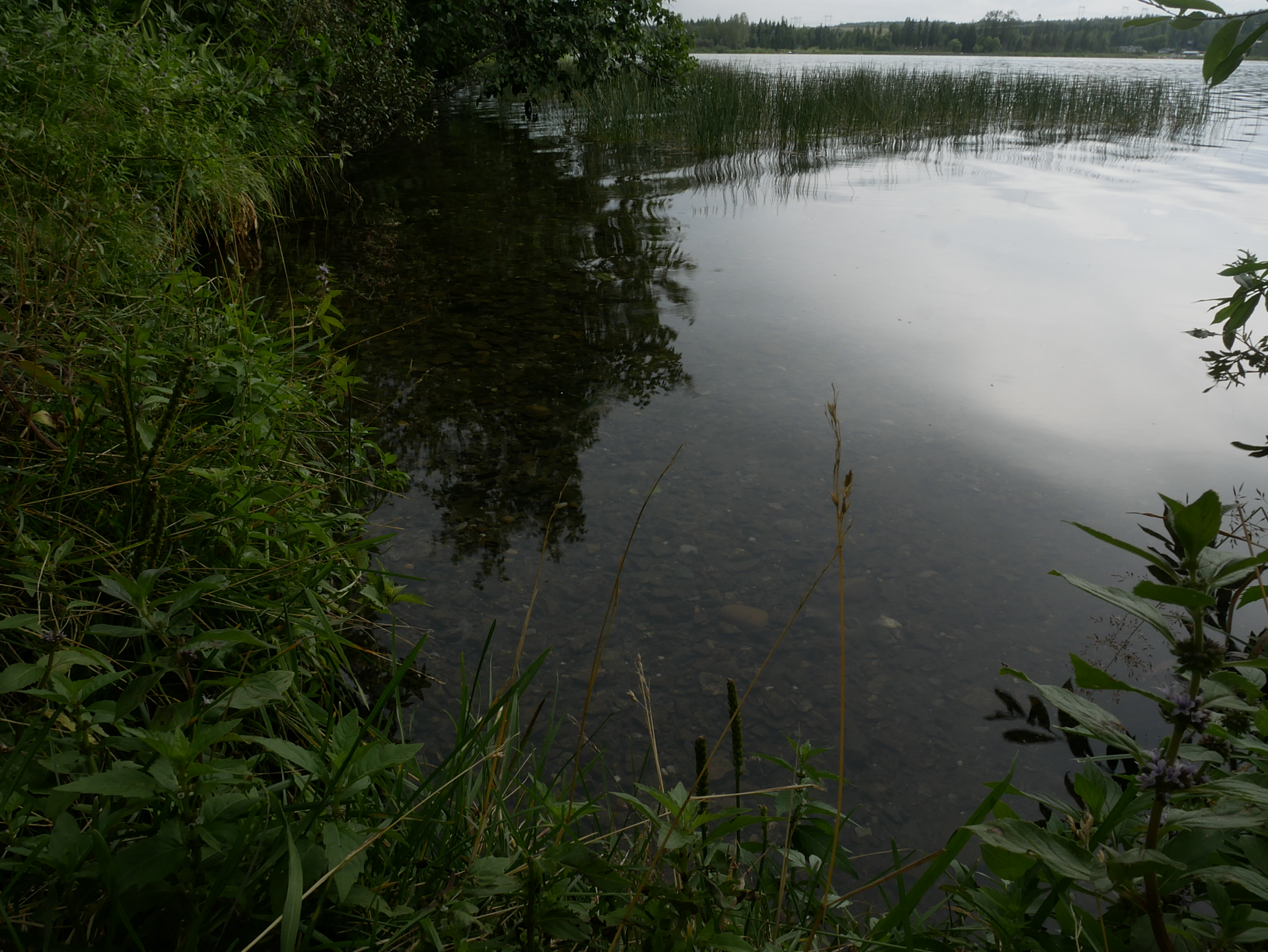
Photos of Ten Mile Lake
Take this guide with you
Choose a trip pack or an available individual sheet for your map case.
Sources, dates & research notes
Descriptions are written for this guide from the linked evidence. Source review dates, published reports and field observations can differ. Photographs and route lines retain their own attribution and reuse terms.
- https://caledoniaramblers.ca/trails/ten-mile-lake (opens original source)
- https://bcparks.ca/ten-mile-lake-park/ (opens original source)
- https://catalogue.data.gov.bc.ca/dataset/bc-geographical-names (opens original source)
- https://catalogue.data.gov.bc.ca/dataset/d92224ee-03ef-4904-be53-b677d8e01ac4/resource/69738aa8-2cc0-4975-aec6-4dc2e30990bf/download/bc-gazetteer-2026-08-12.csv (opens original source)
Details still being researched
- gainM
- distanceKm
- accessibility
Nearby and related guides
- Camping · Hixon & Quesnel
Ten Mile Lake campgrounds
Ten Mile Lake is a practical vehicle-accessible base for Quesnel-area walks, with beaches, a boat launch and a forest trail network in the same provincial park. The park lists…
Camping destination · access & overnight informationRead guide → - Walks · Hixon & Quesnel
Kosta's Cove Accessible Trail
Kosta’s Cove provides a lakeshore walk at the north end of Ten Mile Lake, with forest sections and places to pause beside the water. The regional district distinguishes the gentle…
Read the access and route notesRead guide → - Walks · Hixon & Quesnel
Claymine Low Mobility Trail
Claymine is a gentle forest circuit around a large boulder left by glaciation, west of Quesnel. The regional district describes approximately 1 km of low-mobility trail, with an…
1 km loopRead guide → - Hikes · Hixon & Quesnel
Quesnel River
This Quesnel River outing starts above the south bank and descends through a utility clearing before following an old riverside road. The described return climbs steeply through a…
Easy / 6 km loop / 120 m gainRead guide → 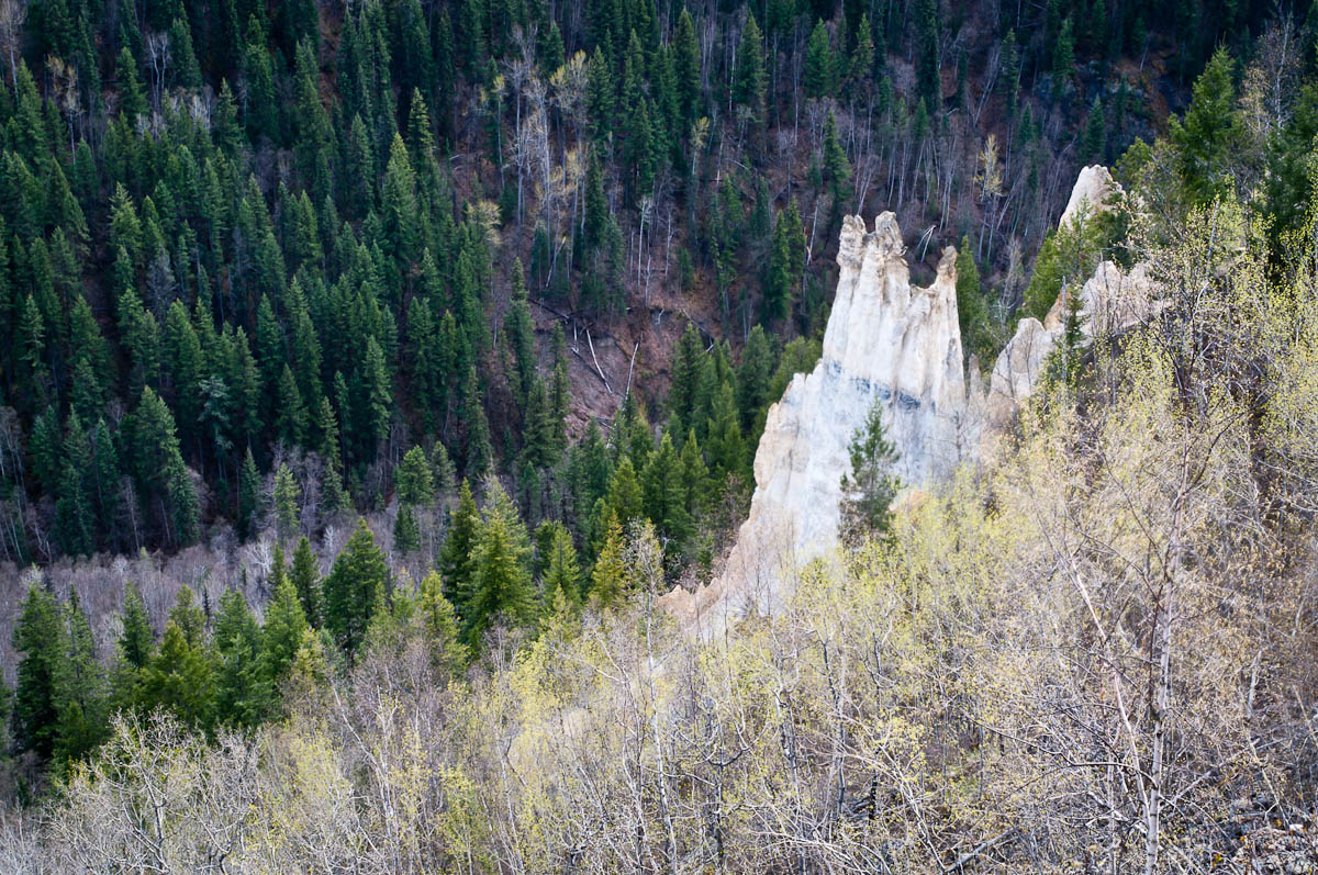 Photo: John Freeland · CC BY 2.0Viewpoints · Hixon & Quesnel
The Pinnacles
A maintained path leads to a fenced viewpoint over hoodoos and the Baker Creek valley on the west side of Quesnel. BC Parks places the viewpoint approximately 1 km from the…
Moderate / 2 km round tripRead guide →- Hikes · Hixon & Quesnel
Dragon Lake
Dragon Lake is a broad recreation destination on the south side of Quesnel, best known for fishing and lake access. The older hiking listing labels an easy loop but gives no…
Easy / TBARead guide →