Canyon Country: Walks Into North-Central BC’s River Landscapes
Rapids, escarpments, terraces and a mountain gorge offer four different perspectives on the rivers of northern Interior BC.
Choose a perspective on the river
A canyon walk can mean several different things. You might descend towards rapids, follow an escarpment above the water or remain on a high rim with a whole valley spread below. Those differences shape both the scenery and the effort required.
North-central BC has room for all of them. The four places here are separate outings across a large region, not stops to combine into one day. Start with the experience you want, then give equal attention to the route back. A descent that feels easy at the start can become the main climb at the end.
Fort George Canyon: a river with a transportation story
At Fort George Canyon, south of Prince George, volcanic rock interrupts the Fraser and gives the water a different shape. Look along the rapids and the appeal of the destination becomes clear: the river is doing something here that a broad, quiet reach cannot show. The scene rewards a pause after the forest approach.
Use the west-bank public trail. Once there, leave time to watch how the rock divides and redirects the flow. The canyon also has a remarkable transportation history, explored in our separate sternwheeler feature. Bring that story to the viewpoint, then let the river supply its setting.
Sources: 1
Blackwater Canyon: a longer look from two levels
The Blackwater Canyon route offers a different shape of day. Caledonia Ramblers describes a loop that combines a path nearer the river with a higher escarpment section. The full described outing is around 14 kilometres, so it deserves more time than a brief viewpoint stop.
The attraction is that change of perspective. Higher ground lets you see the valley's form; the lower route gives a closer relationship to the river corridor. Carry the route information and understand the junctions before committing to the loop. If choosing a shorter out-and-back, establish its actual turnaround rather than assuming that cutting off one branch leaves a complete, obvious circuit.
Sources: 2
Murray Canyon Overlook: read the valley from above
Near Tumbler Ridge, Murray Canyon Overlook stays high above the river. Wolverine Nordic and Mountain Society describes forest leading onto open slopes, with viewpoints and benches along the rim. The full return outing is about 6.5 kilometres. The river's depth below the viewpoint is not the amount of climbing on the walk.
The geological interpretation makes the view especially rewarding. It distinguishes terraces associated with former Glacial Lake Peace from lower surfaces shaped as the river cut through earlier floodplains. Rather than seeing a single empty gap, you can look for a sequence of levels. The overlook is a place to study that arrangement from the established path, not an invitation to find a shortcut down to the water.
Sources: 3
Overlander Falls: the upper Fraser in a narrower frame
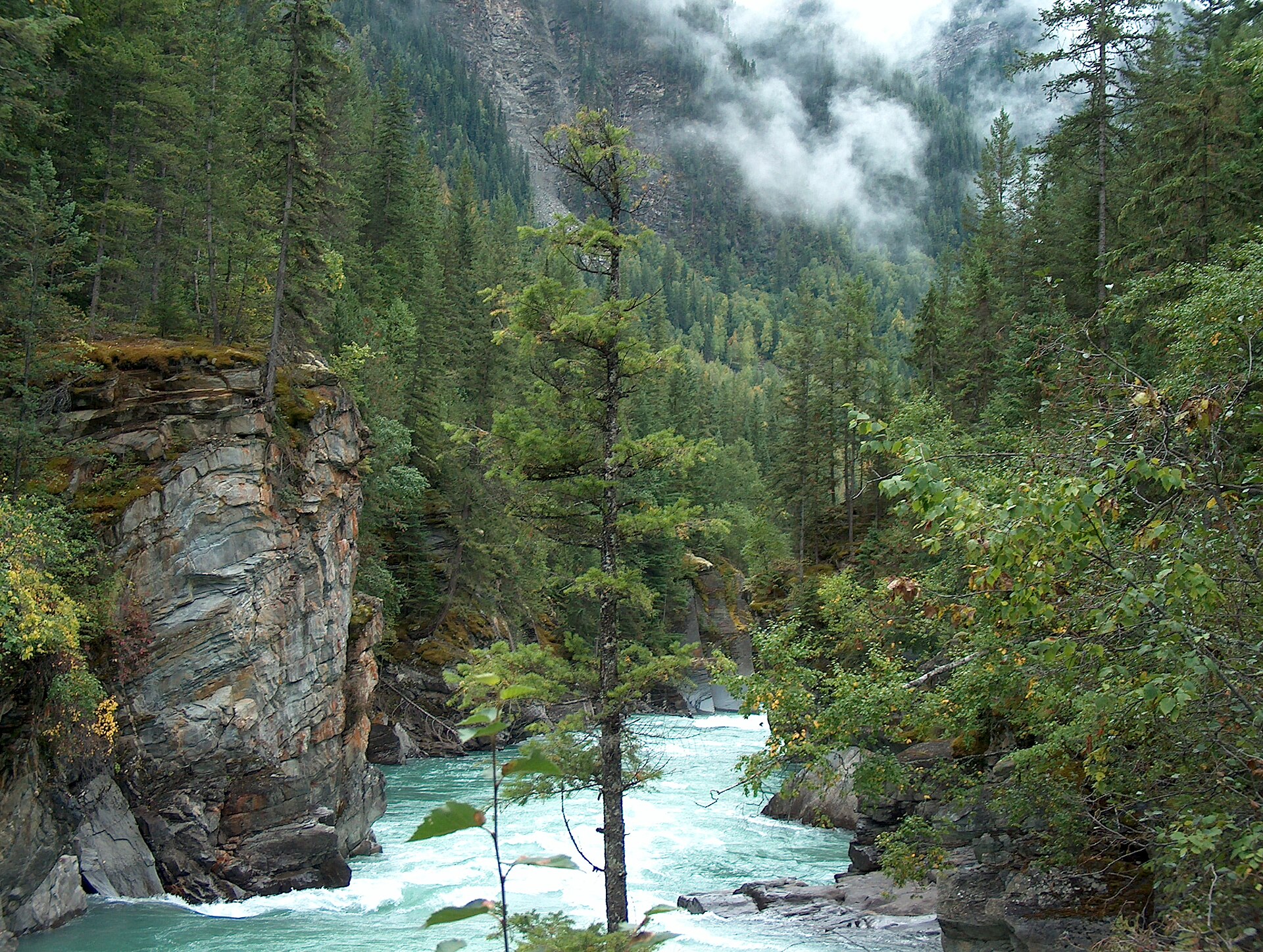
At Overlander Falls in Mount Robson Park, the Fraser offers a more enclosed scene. Water passes through a rocky gorge beneath forested banks, bringing the river into the foreground of a trip usually associated with high peaks. The falls give the walk a clear destination, but the longer approach makes the canyon itself part of the attraction.
The local Yellowhead Outdoor Recreation Association describes two approaches: a short path from the highway-side parking area and a longer riverside walk from the Robson Meadows side. The latter passes several canyon views and the historic Hogan’s Cabin area. It also includes narrow sections above steep drops and exposed roots. Choose the approach for the ground you want to walk, then leave time to watch the water from the established viewpoints.
Sources: 4
Let the return journey decide the plan
These places offer a useful range. Fort George Canyon makes the rapids the focus. Blackwater gives a longer loop and changes in perspective. Murray provides a high view across a terraced valley, while Overlander brings a mountain river and its gorge into a more intimate frame.
Choose one that fits the group rather than chasing a canyon category on a map. Account for the drive, the trail's direction, daylight and the climb back from any descent. Keep to established routes and leave space from unstable edges and fast water. A good canyon outing leaves you with a clearer sense of the landscape, without needing to stand at its closest or most exposed point.
Explore the places in this story
Fort George Canyon
West-side access; separate from Grand Canyon of the Fraser.
Blackwater Canyon Trails
Longer loop and escarpment route.
Murray Canyon Overlook
Rim walk near Tumbler Ridge, not a route to the river.
Overlander Falls riverside walk
The longer canyon-side approach, separate from the short highway-side path.
Overlander Falls short approach
The shorter falls visit has its own starting point.
Sources and further reading
- Fort George Canyon Park (opens original source)BC Parks · Checked
- Blackwater Canyon Trails (opens original source)Caledonia Ramblers · Checked
- Murray Canyon Overlook (opens original source)Wolverine Nordic and Mountain Society · Checked
- Overlander Falls Trail (opens original source)Yellowhead Outdoor Recreation Association · Checked