Stone Corral: Limestone, Hidden Water and a Landscape Full of Surprises
A small part of Monkman Park reveals how water can shape a landscape both above ground and beneath your feet.
Follow the water
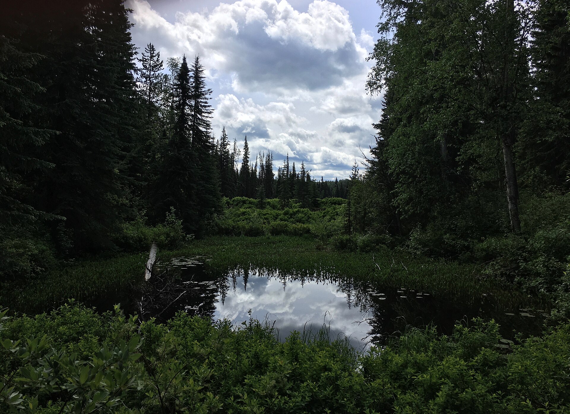
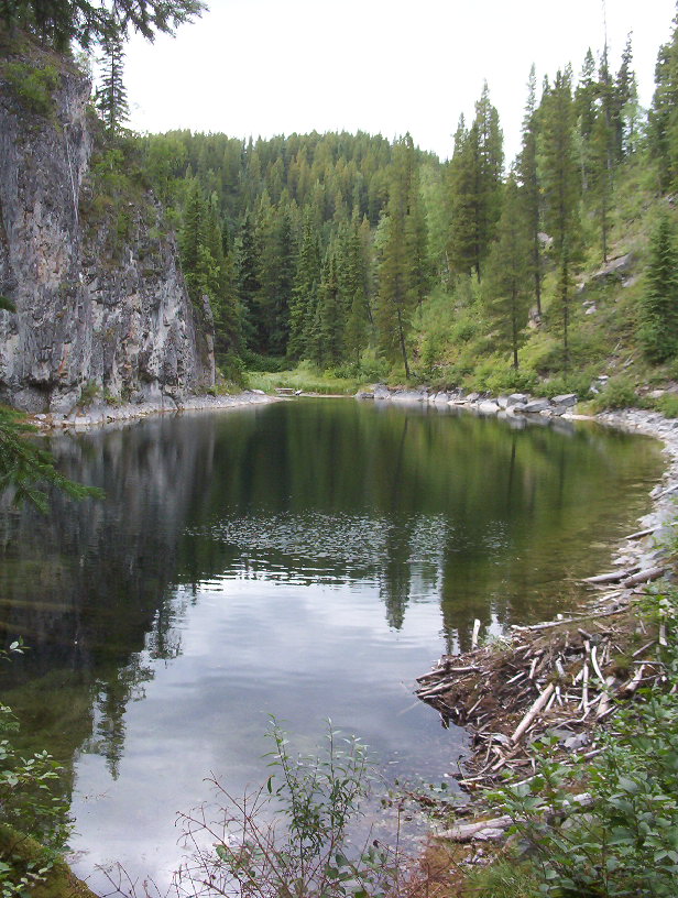
At Stone Corral, the obvious attraction is a pond enclosed by steep rock walls. The more intriguing story is how many forms water takes around it. The interpretive route encounters ponds, a spring, a creek, limestone openings and high viewpoints within one compact area of Monkman Park.
This is a place to walk slowly with the trail's numbered interpretation in hand. A spring that might otherwise receive a passing glance becomes evidence. A hollow becomes a question about what lies below. The distant view still matters, but so do the small details that explain how the ground has acquired its shape.
Sources: 1
A landscape made from an older sea
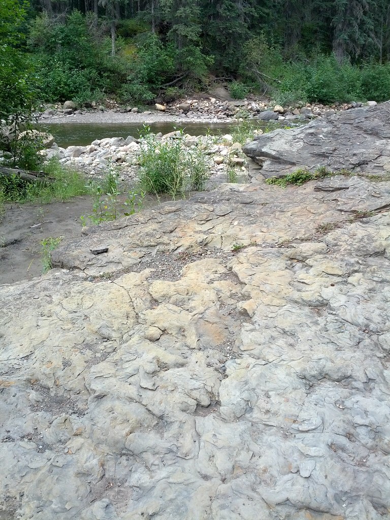
Two rock chapters meet along this trail: Triassic siltstone near the start and older Mississippian limestone beyond. The limestone records a warm, shallow sea.
A cliff can look permanent while its rock records a very different environment. That is part of the fascination here: the present view gives you only one chapter of a much longer story. Try holding both pictures in mind, the still pond enclosed by rock and the former sea in which some of that rock began. A familiar-looking mountain scene becomes less familiar the longer you consider it.
Sources: 2
Why some of the drainage disappears
Limestone can dissolve in slightly acidic water. As water moves through cracks and openings, dissolution can enlarge the pathways. Landscapes shaped substantially by that process are called karst. Caves and sinkholes are familiar examples, but the relationship between surface water and groundwater is just as important.
US Geological Survey explanations emphasize that water in karst does not move at one uniform speed. Some passes slowly through small openings; some travels more quickly through larger channels. This helps explain why a landscape can contain springs, sinking drainage and ponds close together. It does not establish that any two nearby features share a particular underground connection. Proving that requires investigation, not a line drawn between them on a walking map.
Sources: 3
Look closely without turning the walk into a cave expedition
The trail’s interpretation introduces springs, underground drainage and Corral Cave. The cave’s drips bring the action of water down to a small scale. There is plenty to notice from the public visitor route without making a cave visit the goal of the day.
Before entering any cave, check the park's current access advice and bat-protection requirements. Caves are fragile, and BC Parks asks visitors not to touch formations or remove material. A narrow opening is not an invitation to explore beyond the signed visitor route. Keep the geological interest focused on features that can be viewed without improvising access.
Short distance, real terrain
Stone Corral packs considerable terrain into a relatively short outing. The path climbs and descends, passes steep ground and comes close to high cliffs. Stopping at the numbered features also gives the day a different rhythm from a continuous walk. The most interesting detail may arrive just when you thought you were ready to move on.
Choose it for a group comfortable with that terrain, and allow time for interpretation rather than treating a walking time as a target. Carry the brochure offline, follow the numbered route and check BC Parks for current access information before setting out. Leave enough space in the day for the features that make you want to stop.
Sources: 2
Make room for a second look
Give the route time to work on you. After a few stops, look back at the pond rather than ahead to the next numbered marker. You may find yourself paying more attention to the rock than the reflection, or wondering where the water goes when the surface gives no answer.
That change in attention is a fine thing to take home. On another walk, a spring may seem more interesting than it once did. A hollow beside a path may prompt a question. Stone Corral offers a satisfying scene, but it also offers practice in looking at an ordinary patch of ground and wondering what the surface leaves out.
Explore the places in this story
Stone Corral hiking guide
Current sources give different total distances; read the selected route description.
Lake Joan and Canary Falls
Separate nearby trail, not automatically part of the Stone Corral loop.
Sources and further reading
- The Stone Corral (opens original source)Wolverine Nordic and Mountain Society · Checked
- Stone Corral (opens original source)Tourism Tumbler Ridge · Checked
- Hydrologic Cycle and Interactions (opens original source)US Geological Survey · Checked
- Monkman Park (opens original source)BC Parks · Checked
- Stone Corral Interpretive Hiking Trail Guide (opens original source)Wolverine Nordic and Mountain Society / Tumbler Ridge Geopark · Checked