Why Prince George Has Crescents: A Walk Through a City Designed in Boston
Follow a curved street, a park-centred plan and a few remarkable houses into the ambitions behind Prince George’s original railway townsite.
The city bends
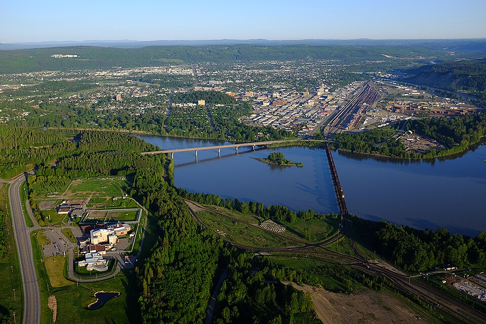
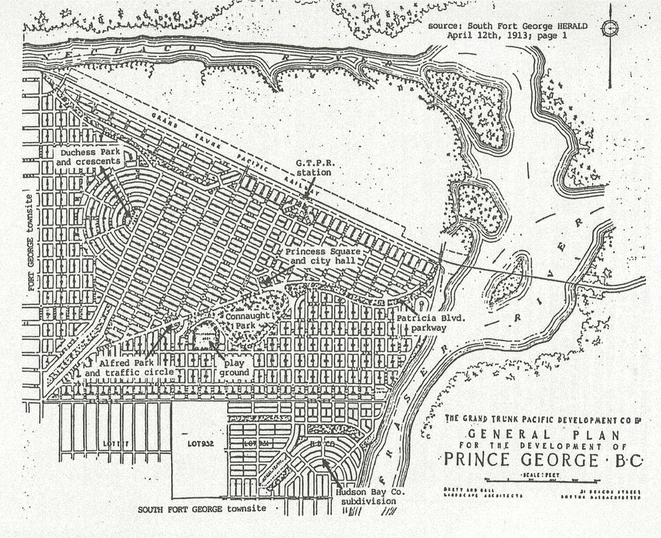
Look at a map of central Prince George and the street grid does something unexpected. Near Duchess Park, straight avenues meet a set of sweeping curves. On the ground, those curves change the experience of walking: the street ahead gradually disappears, and the next stretch reveals itself a little at a time.
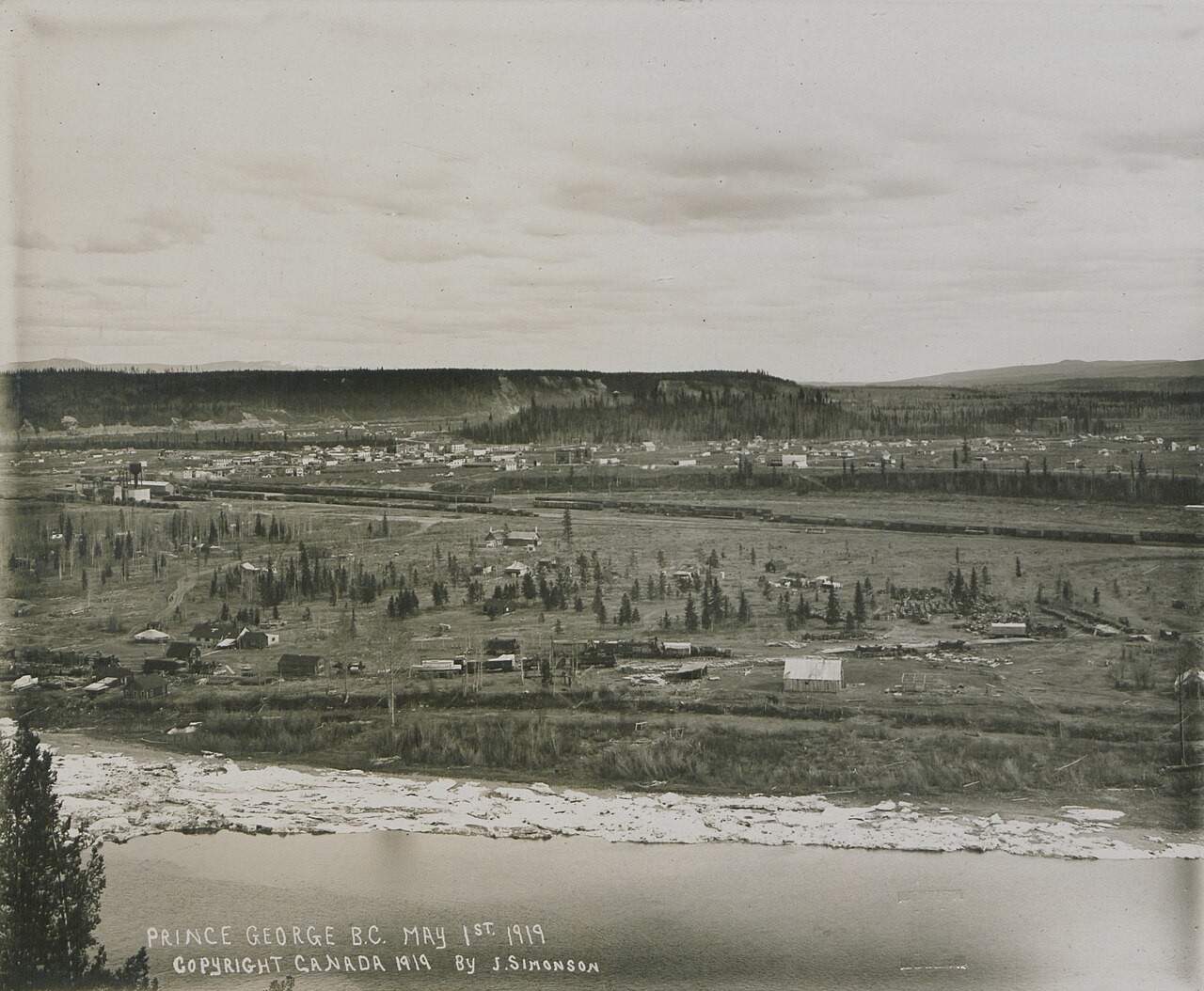
The pattern has a transcontinental origin. In 1912 and 1913, the Grand Trunk Pacific Railway’s townsite was designed by Brett, Hall & Co., a Boston firm. A site visit and detailed survey informed the plan. The Crescents are a surviving expression of its ambition to make a northern railway town look and feel like a carefully composed city.
Start with the map, then put it away for a few blocks. The interest lies in noticing how an idea drawn more than a century ago still determines where an ordinary walk turns.
Sources: 1
Beauty was part of the plan
The designers drew on the City Beautiful movement, which gave parks, public spaces and arranged vistas a central role in urban design. The movement was influential in the United States around the turn of the twentieth century; its advocates treated the appearance of a city as a public concern, rather than something left to individual buildings.
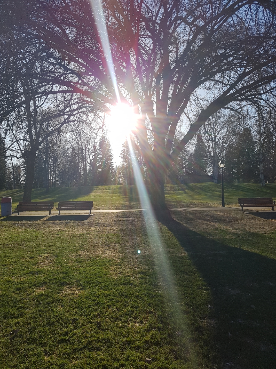
In Prince George, the park was meant to anchor the crescents. Seventh Avenue provided the connection toward Princess Park, now the City Hall area. Straight streets and curved streets belonged to one composition, with green space helping organize the whole.
That intention is easier to appreciate on foot than through a windshield. Look along an avenue before entering a curve. Notice what occupies the end of the view, where the street opens out and where it draws inward. A street can guide the eye as well as carry traffic. Here, the shape of the neighbourhood is itself one of the historic features.
The land beneath the drawing
The railway’s beautiful plan came at a profound cost to the people already living here. The new townsite occupied Lheidli T’enneh reserve land. In 1913, the village was destroyed and its people displaced. Today, Lheidli T’enneh Memorial Park and the cemetery preserve a connection to that village and its continuing community.
These histories exist together in the same city. The curves can be admired as design while the circumstances of their creation remain part of what they mean. A walking tour becomes richer when the old plan is understood as a transformation of an inhabited place, rather than the beginning of history on vacant ground.
A house with music in its history
At 2387 McBride Crescent, Pitman House brings the story down to the scale of one family. Built in 1926, it has a gambrel roof, dormers and a symmetrical front. Its pie-shaped lot reflects the curved street. The geometry of the town plan reaches right into the arrangement of an individual home.
The Pitmans ran a music and piano store on Third Avenue. For several years beginning in 1927, the local library occupied space at the back of that shop, with Mr. Pitman checking books in and out. It is a wonderful image of a growing city’s cultural life: borrowed books and musical instruments sharing a business address.
The family’s house is a reminder that neighbourhood history is made by more than planners. A grand design becomes a lived place through shops, schools, books, music and the small services people undertake for one another.
Sources: 5
Another generation, another idea of home
Farther along the architectural story, the house at 2299 Laurier Crescent speaks the language of the early 1960s. Local architect Alan Greenwell used post-and-beam construction, broad south-facing glass and a distinctive street-facing cinder-block fireplace. The City’s heritage description records gatherings of the Prince George Players and, later, the Sub-Zero Skydivers’ Club.
That contrast is part of the neighbourhood’s appeal. The original street pattern did not freeze the houses into a single period. Different generations filled it with their own ideas of comfort, display and modern life.
These remain homes, best appreciated from the public sidewalk. Finish near Duchess Park and look back at the streets rather than hunting for one final landmark. Boston supplied the plan; the people who lived within it supplied everything that made it a neighbourhood. Both stories are still visible in the next bend.
Sources: 6
Explore the places in this story
Duchess Park
Public park at the heart of the Crescents story; this article is not a surveyed street-walking route.
Sources and further reading
- Crescents Neighbourhood Plan (opens original source)City of Prince George · Checked
- Information Panel: Creating the City Beautiful (opens original source)US National Park Service · Checked
- Reclaiming Lheidli: Towards Indigenous Planning in Prince George (opens original source)Lisa Krebs, hosted by Lheidli T’enneh First Nation · Checked
- Hello, let’s talk about a park (opens original source)Andrew Kurjata · Checked
- Pitman House Statement of Significance (opens original source)City of Prince George, researched by Trelle Morrow · Checked
- Heritage Register and Properties (opens original source)City of Prince George · Checked