Search, filters and the interactive map need JavaScript. You can still open the guides and use the page links below, or browse the complete destination index .
A LOCAL FIELD GUIDE
Hiking around Prince George Find a walk close to home, a waterfall, or a day in the mountains.
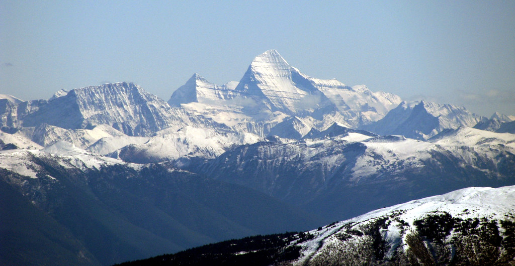
Photo credit East to the King · Dru! · CC BY-NC 2.0 · Photographed Oct 11, 2009 · Downloaded provider display size; no local image edits. Display may crop the view. · Noncommercial only East / McBride
★ 4.9 AllTrails Closure notice recorded · check guide A creek-valley approach to a bookable alpine cabin, with longer excursions into meadows, lakes and surrounding mountain terrain.
Tumbler Ridge / Monkman / Peace Rockies
A short path beside Flatbed Creek leads from the recreation site to a bench overlooking the widening wetland. Return along the creek; the…
McBride / Dore River
★ 5.0 AllTrails Closure notice recorded · check guide Valley route follows the south fork toward Cariboo Pass, with waterfall, alpine terrain and camping pads farther on.
8 - 10 hours McBride
Old road leads into alpine meadows; Little Bell and Big Bell are separate objectives beyond the campsite.
3 hours Tumbler Ridge / Monkman / Peace Rockies
Reach a section of the historic Monkman highway by paddling across Stony Lake, then walk west from the signed landing. Plan both the retraced…
McBride
★ 4.9 AllTrails Ridge and Mount Munroe are separate objectives; detailed route description absent.
6 to 8 hours Tumbler Ridge / Monkman / Peace Rockies
Follow the TR Trail from Flatbed Falls toward creekside rock exposures and dinosaur tracks near Cabin Pool. The creek spur and same-path return…
1–2 hours Chetwynd / Hasler
★ 4.7 AllTrails An undeveloped route climbs from an industrial-road endpoint to alpine lakes and tarns. The initial marsh can be very wet, and optional ridge…
About 4 hours Tumbler Ridge / Monkman / Peace Rockies
A long trail around three sides of Tumbler Ridge, divided into four legs by five signed access points.
Up to 7 hoursper club; pace-dependent Pine Pass
A strenuous extension above the Heart Lake viewpoints reaches the Solitude Mountain area. The lower path is easier to identify than the upper…
Trail map Topographic Satellite · 2016 The interactive map needs JavaScript. Use the written directions and linked publisher maps, or browse the trail guides .