Not establishedThe source lists 1258 m with the destination approach. The stored distance includes a calculated return, but climbing on that return has not been separately established.
Walking time
6 to 8 hours
Difficulty
HardThere and Back
Map & elevation
Opening the map…
Partial elevation profile
Mapped portion · walking direction unconfirmed · 6.82 km
This chart covers only part of the route. It does not establish the full hike or a return journey.
Coverage and elevation sources
6.82 km along source section 1 of 1, in its mapped direction. Approximate 90 m terrain model along this mapped section. Separate sections are not joined. This chart does not measure total trail ascent or establish current access; use the guide’s published outing measurements.
Government reference trail. The government approach line stops before the full published ridge outing; the Mount Munroe extension is not included. Line source (opens original source).
Getting there & parking
Turn from Highway 16 onto Mountainview Road just east of McBride.
Follow Mountainview Road for about 12.6 km to the roadside pullout and Paradise trail entrance.
Parking: The club places a roadside pullout on the right approximately 12.6 km along Mountainview Road from its Highway 16 junction east of McBride.
Full access notes
From Highway 16 east of McBride, turn onto Mountainview Road and continue approximately 12.6 km to the roadside pullout and trail access. Confirm the signed start locally and park fully clear of the road; this approach is different from driving up McBride Peak Forest Service Road.
Estimated drive from Prince George: 3 hr 22 min · 223 km. Modeled one-way driving time from Prince George City Hall, using mapped road speeds. Forest-road sections can take substantially longer: surface, clearance, radio procedures, gates, washouts, plowing, and legal access are not verified by the router. No live traffic or invented forest-road multiplier is included. Allow extra time and check the dated access notes.
Map position: 53.38061, -120.25343 · source-published trailhead / parking waypoint. Embedded trip-map feature 'Trailhead': point [-120.253429, 53.380615].
Named access waypoint extracted from the original public trip map. Current road/parking conditions and legal access still require checking.
Trail access · 53.38061, -120.25343. Named point on source trip map; position and feature type retained as factual observations. Location source (opens original source)
On the trail
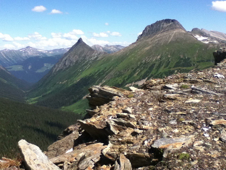
Climb the forest switchbacks from near the valley floor toward Paradise Ridge.
The tourism description reaches the ridge after about 7.9 km and 1,258 m of climbing. Mount Monroe requires roughly another 2.3 km beyond the ridge.
Full route notes
Climb the steep switchback route from near the valley floor toward Paradise Ridge. The local tourism description gives about 7.9–8 km one way and roughly 1,258 m of ascent to the ridge. Mount Monroe is a further approximately 2.3 km along the higher route, with total ascent rising to around 1,520 m; that extension should not use the shorter ridge outing’s figures. Return along the same steep approach and allow a full day. An August 17, 2026 local report says the trail had not been cleared that year and at least about 30 fallen trees remained, so travel may be substantially slower than the base distance suggests.
The way back
Return by the same trail. The ridge outing is approximately 15.8–16 km return; reaching Mount Monroe makes it approximately 20.4 km. The club’s August 17, 2026 report warned of at least 30 fallen trees, so its time estimate is not a current pace guarantee.
Terrain: steep ascent · fallen trees.
Distance and elevation source notes
8 km to Paradise Ridge, 10.2 to Mt Munroe
1258 m to Paradise Ridge, 1520 to Mt Munroe
Paradise Ridge: 8 km; source does not state return basis; 1258 m source gain. The complete outing is represented in the named route options.
Mount Munroe: 10.2 km; source does not state return basis; 1520 m source gain. The complete outing is represented in the named route options.
Mount Munroe extension: 20.4 km; return; 10.2 km one way; 1520 m source gain. The complete outing is represented in the named route options.
Source comparison: Paradise Ridge; 16 km; 1258 m ascent; 6–8 hours published for the route duration; calculated return; published approach to ridge is 8 km scope. This is another description of the main outing, a duplicate endpoint, an unscoped source claim, or a related facility.
Conditions & seasons
Upper snow and mountain weather affect the ridge and Monroe extension independently of the lower road. The dated 2026 blowdown report is a reason to allow extra time and seek a newer condition update before committing to the summit extension.
Numerous fallen trees
An August 17,2026 report from a local contributor says the trail had not been cleared that year and describes at least 30 fallen trees.
These are dated research notes. Open the trip planner for current available weather and advisory feeds; no alert found does not establish that a trail or road is open.
On-route camping permission has not been established for this outing. Check the relevant land manager before planning an overnight stay; a mapped lake, cabin or previous tent location does not confirm permission.
Photos of Paradise Ridge
A photograph with confirmed reuse permission has not yet been added to this guide.
Original photo galleries
These galleries stay on their photographers’ original websites.
Descriptions are written for this guide from the linked evidence. Source review dates, published reports and field observations can differ. Photographs and route lines retain their own attribution and reuse terms.