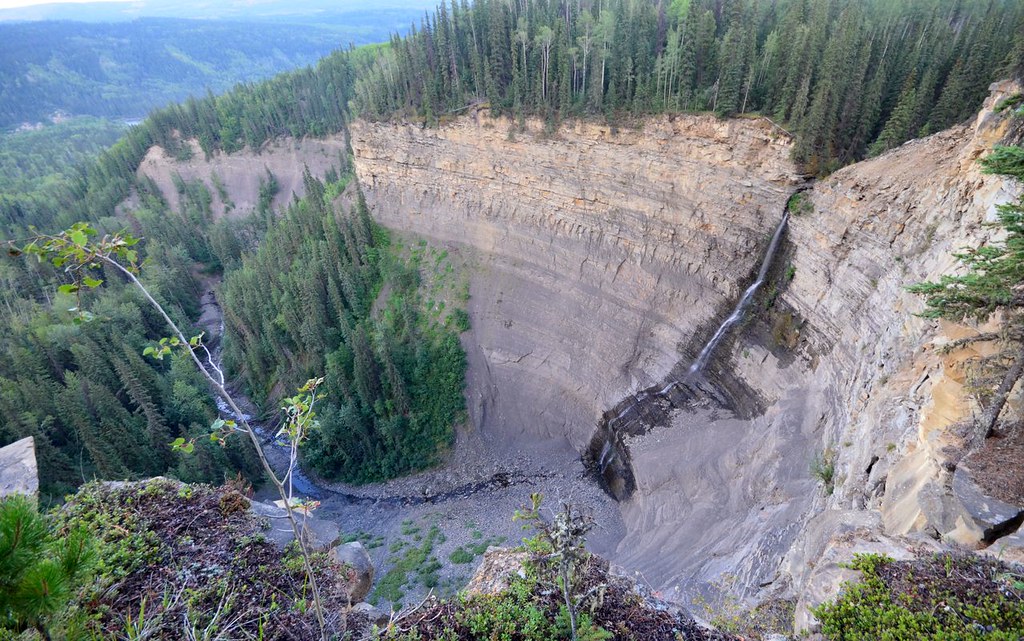
Follow the TR Trail from Flatbed Falls toward creekside rock exposures and dinosaur tracks near Cabin Pool. The creek spur and same-path return are distinct from the other waterfall branches in this trail network.
Sources reviewed . This is a research date, not a trail inspection.
A reusable trail line has not yet been verified for this outing. Any location pin shows the published location described above; it does not draw the hike or establish a navigable approach.
Getting there & parking
Use the signed Flatbed Falls/Cabin Pool trail parking near Highway 29 on the southern side of Tumbler Ridge. The steward’s description places the access about 600 m south of Mackenzie Way, but its alternative approach wording is incomplete; use the current signed parking and local TR Trail map to confirm the start rather than stopping at an arbitrary roadside point.
Map position: 55.11428, -120.98306 · trailhead. WNMS links to the named Flatbed Falls, Dinosaur Trackway and Overhanging Rock Trailhead. Position uses the place coordinates, not the map viewport centre.
On the trail
From Flatbed Falls parking, follow the TR Trail toward Kevin’s Trail for about 800 m.
Take the signed Cabin Pool/Dinosaur Trackway spur down to the creek-side rock exposures.
Full route notes
From the Flatbed Falls parking, follow the TR Trail back toward Kevin’s Trail for about 800 m to the Cabin Pool/Dinosaur Trackway branch. Descend on that spur to the creek-side rock exposures. An additional branch reaches the original dinosaur-trackway discovery area, but water levels and the exact authorized access should be checked locally. View fossil surfaces carefully without removing or damaging them. The nearby Flatbed Falls and other TR Trail branches are separate extensions; decide whether to return directly or include them before applying a loop distance. Do not infer that a natural pool is safe for jumping or swimming from its name.
The way back
Retrace the spur and TR Trail approach for the steward’s approximately 3 km return outing. The same page displays a conflicting 5 km headline; adding other pool or falls branches changes the itinerary.
Conditions & seasons
Creek levels and slippery exposed rock determine how much can be safely seen at the water’s edge. The fossil-viewing area is not guaranteed to be visible during high water or under snow.
These are dated research notes. Open the trip planner for current available weather and advisory feeds; no alert found does not establish that a trail or road is open.
On-route camping permission has not been established for this outing. Check the relevant land manager before planning an overnight stay; a mapped lake, cabin or previous tent location does not confirm permission.
Photos of Flatbed Cabin Pools and Dinosaur Tracks
A photograph with confirmed reuse permission has not yet been added to this guide.
Original photo galleries
These galleries stay on their photographers’ original websites.
Descriptions are written for this guide from the linked evidence. Source review dates, published reports and field observations can differ. Photographs and route lines retain their own attribution and reuse terms.