A reusable trail line has not yet been verified for this outing. Any location pin shows the published location described above; it does not draw the hike or establish a navigable approach.
Choose one of the five signed access points: Highway 52 near the Gun Club, Flatbed Falls parking, Lions campground, the golf-course parking area, or behind backstop 3 at the ball diamonds. These divide the route into manageable stages. For the southern start, the guide describes an approximately 500 m approach beside Highway 52 followed by a careful road crossing to Kevin’s Trail and the kilometre 0 marker.
Map position: 55.09586, -120.94313 · steward-published route access point (one of multiple TR Trail starts). WNMS Directions to Trailhead anchor publishes place coordinates !3d55.095855!4d-120.943133 (also labelled55°05′45.1″N120°56′35.3″W). These are the marked place coordinates, not the nearby Google viewport centre. This is one southern access point for a multi-access28 km route.
On the trail
Follow the clockwise white-on-blue signs and half-kilometre posts from the selected access.
The southern stage follows Kevin’s Trail and the Flatbed pools to Flatbed Falls parking.
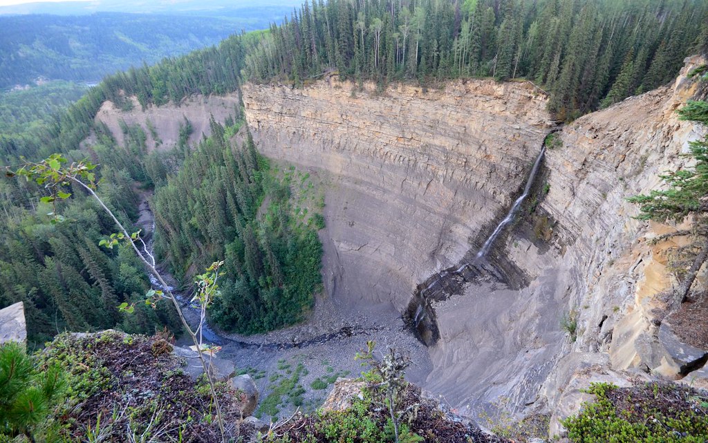
Continue through the canyon and Mini Falls area to the passage under Highway 29 and Lions Campground.
The next stage climbs via Tumbler Point and the river escarpment to the golf course.
The northern stage descends Larry’s Trail to the river, climbs Linda’s Trail to Lost Haven Cabin, then uses Escher’s Loop and the ski-trail connections to the ball diamonds.
Full route notes
Follow the white-on-blue clockwise markers and half-kilometre posts. The first stage uses Kevin’s Trail, the Flatbed pools and dinosaur-track area before reaching Flatbed Falls parking. The second links the falls, canyon and Mini Falls area to the crossing beneath Highway 29 and Lions campground. The third climbs toward Tumbler Point, follows the escarpment above the river junction and continues to the golf course. The final stage uses Wolverine trails, descends Larry’s Trail toward the Murray River, climbs the rougher Linda’s Trail to Lost Haven Cabin, then follows Escher’s Loop and the ski-trail connections toward the ball diamonds. The published route totals about 28 km and is not a closed circuit; plan a pickup or a selected out-and-back stage. River erosion and small slides can force local reroutes, so follow current markers rather than an old line at the bank edge.
The way back
The approximately 28 km route has separate endpoints. Arrange pickup or walk a selected section out and back; it is not a closed town circuit.
Distance and elevation source notes
Tourism prose says 27 km; headline says up to 28 km; four listed legs total 27.5 km.
Conditions & seasons
Some segments share ski, bike, horse, ATV or snowmobile routes. Follow the current seasonal-use signs. The steward advises avoiding very windy conditions because of standing dead pine, and notes that riverbank and slide sections may need repeated repairs.
These are dated research notes. Open the trip planner for current available weather and advisory feeds; no alert found does not establish that a trail or road is open.
The trail passes Lions campground and Lost Haven Cabin, but neither a passing trail nor a day-use cabin description establishes unrestricted overnight access. Confirm the campground or cabin rules for the exact stay you plan.
Photos of TR Trail
A photograph with confirmed reuse permission has not yet been added to this guide.
Original photo galleries
These galleries stay on their photographers’ original websites.
Descriptions are written for this guide from the linked evidence. Source review dates, published reports and field observations can differ. Photographs and route lines retain their own attribution and reuse terms.