Forests for the World — Shane Lake loop from Kueng Road
A shorter park outing from Kueng Road to Shane Lake, around its shoreline loop and back by the parallel upper corridor. The complete mapped loop includes the return to the same entrance.
Sources reviewed . This is a research date, not a trail inspection.
- Distance
- 3 kmLoop
- Elevation gain
- 33 mPublished route measurement
- Walking time
- Not published
- Difficulty
- EasyLoop
How the elevation gain was established
Outing: 3.0 km Shane Lake circuit from Kueng Road parking, returning on the parallel approach path
This total is published for the named outing. Other starting points or turnarounds can produce different climbing totals.
The publisher defines its elevation figure as total elevation gained from its GPS route.
Sources checked 2026-10-19.
Map & elevation
Elevation profile
Full loop · approximately 2.7 km mapped
Approximate terrain elevation. Mapped distance may differ from the published hike distance.
Map and elevation sources
Approximate ground elevation from a 90 m terrain model. Distance follows the mapped itinerary and may differ from published walking distance. This is a terrain-model profile, not a surveyed measurement. Any ascent total is identified separately with its own source or estimation method.
The City describes Kueng Road as the main park entrance. The public Shane Lake guide gives its entrance coordinate and describes a lake circuit with a parallel approach return. Licensed City trail features identify the Shane Lake Corridor, Lower Shane Lake Corridor, Shane Lake Loop, Frog Trail and Upper Shane Lake Corridor; this itinerary orders those existing paths from the entrance around the lake and back. All vertices are retained from the City dataset. Adjacent parts share exact endpoints except two same-junction survey offsets of 0.26 m and 0.65 m, below the 1 m continuity tolerance; no new connecting segment is supplied. The resulting 2.722 km loop is a selected outing, while the City network total of 15.2 km figure describes the whole network.
Route source 1Route source 2Route source 3Copernicus GLO-90 terrain elevations via Open-Meteo (CC BY4.0); linework: Open Government Licence – City of Prince George · checked 2026-10-18 · CC BY4.0 elevation data; Open Government Licence – City of Prince George linework. Copernicus DEM 2021 GLO-90 via Open-Meteo. Linework source: https://services2.arcgis.com/CnkB6jCzAsyli34z/ArcGIS/rest/services/OpenData_ParkData/FeatureServer/7. Sampled and rounded for display.
Complete mapped outing from Kueng Road trail entrance. Line source (opens original source).
Getting there & parking
Follow Cranbrook Hill Road uphill from Foothills Boulevard, turn onto Kueng Road and continue to the Forests for the World parking area. Begin at the south end of the lot on the Shane Lake Corridor trail.
Estimated drive from Prince George: 16 min · 9.2 km. Modeled one-way driving time from downtown Prince George using mapped road speeds, rounded up to a whole minute. No live traffic or invented forest-road multiplier. The final Kueng Road approach is gravel; follow the signed main lot.
Map position: 53.89496, -122.83207 · Kueng Road main-parking access (address-geocoded). BC Address Geocoder matched the City-published 2323 Kueng Road address at CIVIC_NUMBER precision with an accessPoint descriptor, score 100 and medium positional accuracy. The City explicitly directs visitors along Kueng Road to the main Forests for the World parking lot. The published Shane Lake route starts at this lot; its mapped entrance is about 7 m from this access point. This coordinate identifies the parking approach, not a surveyed parking bay or a field-verified trailhead. Check current access and signs on arrival.
On the trail
Follow Shane Lake Corridor south from the Kueng Road entrance and stay on the Lower Shane Lake Corridor toward the lake. At the lake, take the Shane Lake Loop around the west and south shores, continuing up its eastern side. Use the Frog Trail connection and Upper Shane Lake Corridor to return to the entrance corridor and the same parking area. The wider park has many junctions; compare trail names with the entrance map and saved route. This loop does not include the western lookout network or the separate UNBC approach.
Distance and elevation source notes
The source explicitly starts at Kueng Road, circles Shane Lake and returns to parking on the parallel approach. Its 33 m is cumulative ascent for the 3.0 km outing; network-wide elevation ranges are not used.
Conditions & seasons
Season-specific access has not been established in this guide. Read the dated notices and original land-manager information before choosing a departure date.
These are dated research notes. Open the trip planner for current available weather and advisory feeds; no alert found does not establish that a trail or road is open.
Camping & overnight plans
On-route camping permission has not been established for this outing. Check the relevant land manager before planning an overnight stay; a mapped lake, cabin or previous tent location does not confirm permission.
Photos of Forests for the World — Shane Lake loop from Kueng Road
A photograph with confirmed reuse permission has not yet been added to this guide.
Surrounding area and context
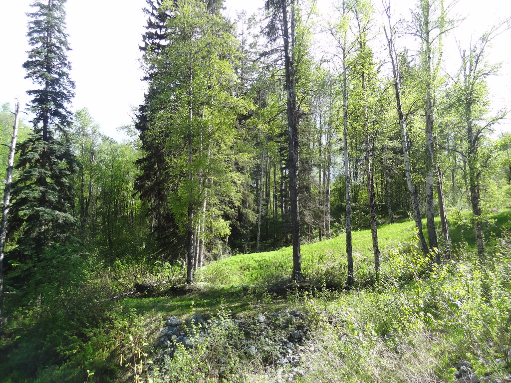
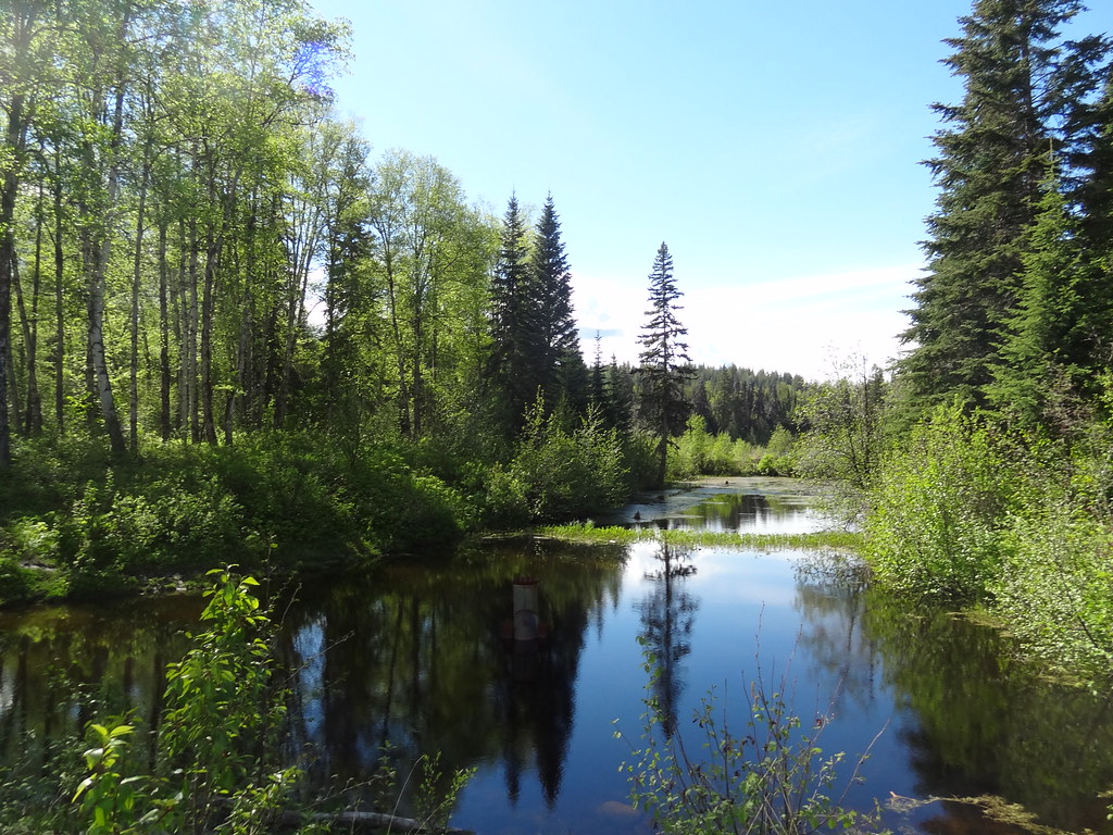
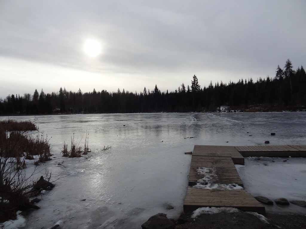
These photographs provide context; they do not establish the appearance of this selected route or facility.
Original photo galleries
These galleries stay on their photographers’ original websites.
- Crest Circuit February 4, 2023 (opens original source) · Caledonia Ramblers
- Forests for the World May 14, 2022 (opens original source) · Caledonia Ramblers
- Forests for the World January 9, 2022 (opens original source) · Caledonia Ramblers
- Forests for the World — clearbrook4, August 2020 (opens original source) · clearbrook4 / Flickr
- Cranbrook Hill — illustrated trip report (opens original source) · Bob Spirko
Take this guide with you
Choose a trip pack or an available individual sheet for your map case.
Sources, dates & research notes
Descriptions are written for this guide from the linked evidence. Source review dates, published reports and field observations can differ. Photographs and route lines retain their own attribution and reuse terms.
- https://www.princegeorge.ca/parks-recreation/parks-trails/forests-world (opens original source)
- https://www.10adventures.com/hikes/prince-george/shane-lake-loop/ (opens original source)
- https://services2.arcgis.com/CnkB6jCzAsyli34z/ArcGIS/rest/services/OpenData_ParkData/FeatureServer/7 (opens original source)
Details still being researched
- gainM
- camping
- seasonal
Nearby and related guides
- Walks · Prince George
Backside Trail
A roughly 9 km loop uses several named forest paths behind UNBC, including an informal Backside segment. Frequent junctions make it a navigation walk through a network rather than…
Moderate / 9 km loopRead guide → - Walks · Prince George
UNBC Connector Trail System
Paths between the city below and University Way above offer both relatively level walks and a sustained hill workout. Ginter’s Meadow forms a useful lower access to the wider…
11.5 km of trails · Choose your walking routeRead guide →  Photo: Andrew Kurjata · CC BY-NC-SA 2.0 · Noncommercial onlyViewpoints · Prince George
Ginter’s Meadow
An open meadow at the foot of Cranbrook Hill offers a short city walk and access to longer climbing paths. It is also a designated off-leash area, with boundaries that differ from…
11.5 km of trails · Choose your walking routeRead guide →- Walks · Prince George
Wilson Park
A riverside trail system follows the southern bank of the Nechako through a nature park. It offers changing river views on a short walk within Prince George.
2.5 km of trails · Choose your walking routeRead guide → - Parks · Prince George
Chancellor Park
A University Heights neighbourhood park with new play space and walking connections. The project was built in 2025, with landscaping scheduled for spring 2026, so older maps may…
Read the access and route notesRead guide → - Walks · Prince George
Rainbow Park
A landscaped city park combines flower beds, wooded glacial depressions and short nature paths. It is a flexible park stroll with picnic space rather than a single measured hiking…
Read the access and route notesRead guide →