Backside Trail
A roughly 9 km loop uses several named forest paths behind UNBC, including an informal Backside segment. Frequent junctions make it a navigation walk through a network rather than a single signed trail.
Sources reviewed . This is a research date, not a trail inspection.
- Distance
- 9 kmLoop
- Elevation gain
- Not establishedGentle slopes
- Walking time
- 2 hours
- Difficulty
- ModerateLoop
Map & elevation
Partial elevation profile
Mapped portion · walking direction unconfirmed · 2.29 km
This chart covers only part of the route. It does not establish the full hike or a return journey.
Coverage and elevation sources
2.29 km along source section 1 of 1, in its mapped direction. Approximate 90 m terrain model along this mapped section. Separate sections are not joined. This chart does not measure total trail ascent or establish current access; use the guide’s published outing measurements.
Copernicus GLO-90 terrain elevations via Open-Meteo (CC BY4.0); linework: Open Database License (ODbL) 1.0 · checked 2026-10-18 · CC BY4.0 elevation data; Open Database License (ODbL) 1.0 linework. Copernicus DEM 2021 GLO-90 via Open-Meteo. Linework source: https://www.openstreetmap.org/way/441665408. Sampled and rounded for display.
Mapped named trail. Only the 2.29 km named Backside section is mapped. The rest of the published 9 km outing and its connecting park paths are not identified by this line. Line source (opens original source).
Getting there & parking
Drive up University Way past the university entrance and follow the sign for Cranbrook Hill Greenway parking. Take the next right, then the first left into the trailhead lot. Begin from this Greenway entrance if following the junction sequence below; starting from another Cranbrook Hill lot changes the route. Carry the current network map because informal trail names and signs can change.
Estimated drive from Prince George: 12 min · 8.4 km. Modeled one-way driving time from downtown Prince George using mapped road speeds, rounded up to a whole minute. No live traffic or invented forest-road multiplier. This estimate is to the UNBC Greenway lot. Choose your walking route and return plan separately; the network has several other entrances.
Map position: 53.88720, -122.82080 · published Greenway parking access; Backside reached on foot. Contributor parking entry626075 publishes53.8872,-122.8208 for GreenwayTrailparking; Ramblers explicitly starts Backside via UNBCGreenwayparking. Parking-position observation from2025listing; access is corroborated by City ForestrsForTheWorld page. This does not establish overnight camping permission or the Backside junction position.
On the trail
Begin on Green Trail and pass the Bear, Old and Swampy branches. At the major junction beside the replica pit-house, turn left.
At the Blue Spruce junction, turn left again and continue toward Sawmill, passing the first Climbing Wall connection.
On Sawmill, pass the second Climbing Wall connection and Carters Cut. Immediately after the small bridge, locate Backside opposite the old steam engine.
Follow Backside past the faint Survey Line junction. At the next three-way, take the right branch, then right again at the following three-way toward Tyner Finder.
At the next junction turn left, then right at Sundown. Turn left at the following junction and stay left at the fork just beyond it to return to the Greenway lot.
Full route notes
Begin on the Green Trail, passing the Bear, Old and Swampy connections. At the major junction by the replica pit-house, go left, then left again at Blue Spruce. Follow Blue Spruce toward Sawmill, passing the first Climbing Wall entrance. On Sawmill, continue beyond the second Climbing Wall connection and Carters Cut. Just after a small footbridge, the old steam engine is on the right and Backside leaves opposite it. Take Backside, pass the faint Survey Line branch on the left, then turn right at the next three-way junction. At the following three-way junction turn right onto Tyner Finder. Take the next left, then right at Sundown. At the next junction go left and keep left at the immediately following fork to return toward the Greenway lot. Treat this as a source-described sequence, not proof that every sign is still present.
The way back
This source describes a 9 km loop from the UNBC-side Greenway lot. Other network entrances change both its start and distance.
Distance and elevation source notes
9 km
Gentle slopes
Conditions & seasons
Season-specific access has not been established in this guide. Read the dated notices and original land-manager information before choosing a departure date.
These are dated research notes. Open the trip planner for current available weather and advisory feeds; no alert found does not establish that a trail or road is open.
Camping & overnight plans
On-route camping permission has not been established for this outing. Check the relevant land manager before planning an overnight stay; a mapped lake, cabin or previous tent location does not confirm permission.
Photos of Backside Trail
A photograph with confirmed reuse permission has not yet been added to this guide.
Original photo galleries
These galleries stay on their photographers’ original websites.
- Backside Trail January 22, 2022 (opens original source) · Caledonia Ramblers
Take this guide with you
Choose a trip pack or an available individual sheet for your map case.
Sources, dates & research notes
Descriptions are written for this guide from the linked evidence. Source review dates, published reports and field observations can differ. Photographs and route lines retain their own attribution and reuse terms.
- https://caledoniaramblers.ca/trails/backside-trail (opens original source)
- https://park4night.com/en/place/626075 (opens original source)
- https://www.princegeorge.ca/parks-recreation/parks-trails/forests-world (opens original source)
- https://cranbrookhillgreenway.bc.ca/guidebook/ (opens original source)
- https://project-osrm.org/ (opens original source)
- https://www.openstreetmap.org/copyright (opens original source)
OpenStreetMap line references (2)
These contributor-mapped features support the map geometry. They are separate from the written access and route sources.
Details still being researched
- gainM
- dogs
- accessibility
- camping
- seasonal
Nearby and related guides
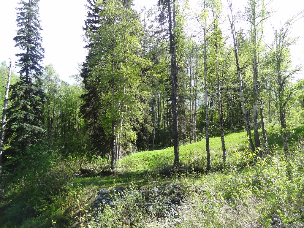 Photo: Andrew Kurjata · CC BY-NC-SA 2.0 · Noncommercial onlyWalks · Prince George
Forests for the World
A forest network on Cranbrook Hill with Shane Lake, picnic shelters and connections toward UNBC and the Greenway. Choose a short lakeside outing or extend onto the hill’s longer…
15.2 km of trails · Choose your walking routeRead guide →- Walks · Prince George
UNBC Connector Trail System
Paths between the city below and University Way above offer both relatively level walks and a sustained hill workout. Ginter’s Meadow forms a useful lower access to the wider…
11.5 km of trails · Choose your walking routeRead guide → 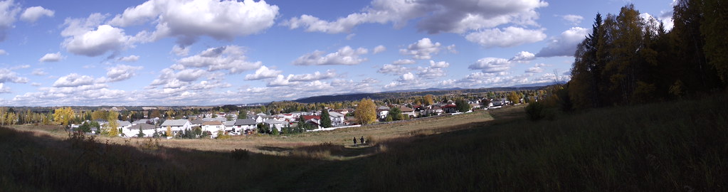 Photo: Andrew Kurjata · CC BY-NC-SA 2.0 · Noncommercial onlyViewpoints · Prince George
Ginter’s Meadow
An open meadow at the foot of Cranbrook Hill offers a short city walk and access to longer climbing paths. It is also a designated off-leash area, with boundaries that differ from…
11.5 km of trails · Choose your walking routeRead guide →- Parks · Prince George
Chancellor Park
A University Heights neighbourhood park with new play space and walking connections. The project was built in 2025, with landscaping scheduled for spring 2026, so older maps may…
Read the access and route notesRead guide → - Camping · Prince George
Blue Cedars RV Park and Campground
A private campground on Kimball Road with several service levels, useful as an overnight base within Prince George. A booking enquiry is not a confirmed reservation.
Camping destination · access & overnight informationRead guide → - Walks · Prince George
Wilson Park
A riverside trail system follows the southern bank of the Nechako through a nature park. It offers changing river views on a short walk within Prince George.
2.5 km of trails · Choose your walking routeRead guide →