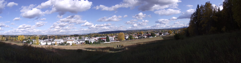
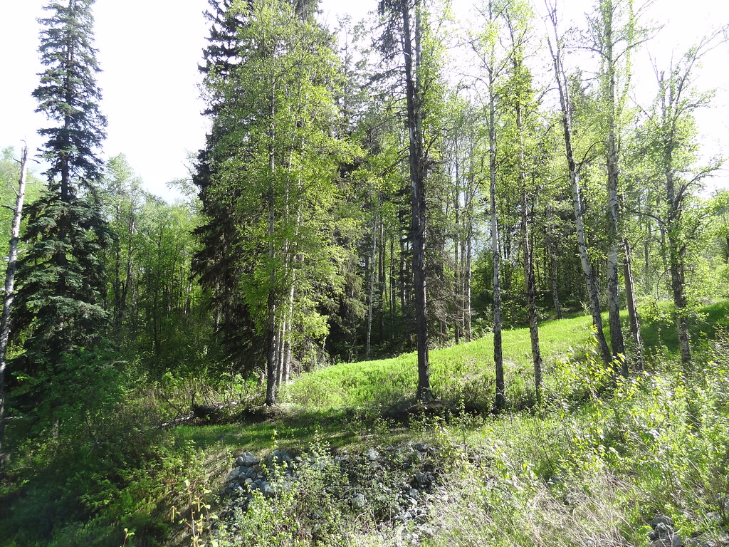
Paths between the city below and University Way above offer both relatively level walks and a sustained hill workout. Ginter’s Meadow forms a useful lower access to the wider network.
Sources reviewed . This is a research date, not a trail inspection.
The published measurements describe the wider trail network. Your walk’s length and climbing depend on the trails you choose. The notes below describe the available walking options.
Trail network map
Opening the map…
Elevation profile
A full-route elevation profile is not available yet. The mapped paths have not been verified as one continuous outing.
Choose a specific route where available. Individual map fragments are not shown as separate hike stages.
More maps & trail files
AllTrails map
UNBC via Blue Spruce Connector on AllTrails
A named point to point outing of approximately 6.1 km within this wider network. Its specific start and trail sequence remain separate from our general network guide; it is not a network-wide distance.
For a shorter low-level walk, enter from the west end of Ferry Avenue, the west end of Massey Drive, or the corner of 18th Avenue and Foothills Boulevard. To start higher, use the university-side access off University Way and follow campus parking rules. Record which entrance you used: these points connect to a network and do not all return to one parking lot.
Map position: 53.89623, -122.80458 · park reference point derived inside official boundary. Official City ParkName=UNBC Connector Trail; OBJECTID=1437; active park polygon. Marker computed inside its largest polygon, checked against exterior and holes.
Park location marker for orientation; not a source-published parking point or trailhead. Neighbourhood park existence does not establish a named hiking route.
Walking options
Choose the lower connecting paths for an easier walk, or take the dirt trail climbing through Ginter’s Meadow toward University Way for a more demanding outing. Surfaces vary between paved paths, gravel and dirt. Information kiosks and viewpoints help orient the route, but the City’s 11.5 km figure is the total system rather than a single loop. At a junction, identify whether you are following a lower neighbourhood connection or climbing toward the university. The designated off-leash area is in Ginter’s Meadow; follow its posted limits rather than assuming the entire connector system has the same rule.
Terrain: paved.
Distance and elevation source notes
up to 120 m, source calls this elevation without gain definition
Varies by trails taken
20 - 100 m
Conditions & seasons
Season-specific access has not been established in this guide. Read the dated notices and original land-manager information before choosing a departure date.
These are dated research notes. Open the trip planner for current available weather and advisory feeds; no alert found does not establish that a trail or road is open.
On-route camping permission has not been established for this outing. Check the relevant land manager before planning an overnight stay; a mapped lake, cabin or previous tent location does not confirm permission.
Photos of UNBC Connector Trail System
A photograph with confirmed reuse permission has not yet been added to this guide.
Original photo galleries
These galleries stay on their photographers’ original websites.
Descriptions are written for this guide from the linked evidence. Source review dates, published reports and field observations can differ. Photographs and route lines retain their own attribution and reuse terms.