Ginter’s Meadow
An open meadow at the foot of Cranbrook Hill offers a short city walk and access to longer climbing paths. It is also a designated off-leash area, with boundaries that differ from the wider connector network.
Sources reviewed . This is a research date, not a trail inspection.
The published measurements describe the wider trail network. Your walk’s length and climbing depend on the trails you choose. The notes below describe the available walking options.
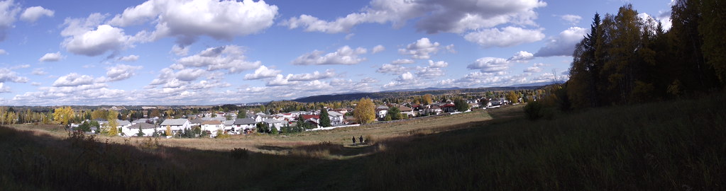
Trail network map
Partial elevation profile
Mapped portion · walking direction unconfirmed · 0.12 km
This chart covers only part of the route. It does not establish the full hike or a return journey.
Coverage and elevation sources
0.12 km along source section 1 of 1, in its mapped direction. Approximate 90 m terrain model along this mapped section. Separate sections are not joined. This chart does not measure total trail ascent or establish current access; use the guide’s published outing measurements.
Copernicus GLO-90 terrain elevations via Open-Meteo (CC BY4.0); linework: Open Government Licence – City of Prince George · checked 2026-10-18 · CC BY4.0 elevation data; Open Government Licence – City of Prince George linework. Copernicus DEM 2021 GLO-90 via Open-Meteo. Linework source: https://services2.arcgis.com/CnkB6jCzAsyli34z/ArcGIS/rest/services/OpenData_ParkData/FeatureServer/7. Sampled and rounded for display.
City mapped trail segments / park network; not a single measured hiking itinerary. Line source (opens original source).
Getting there & parking
Use the west end of Massey Drive just off Ospika Boulevard; the municipal address is 4190 Massey Drive. This lower entrance is the straightforward starting point for a meadow visit. Access via Ferry Avenue or the university belongs to the broader UNBC Connector network and changes the outing’s length and climbing.
Open published address: 4190 Massey Drive →
Map position: 53.89448, -122.80126 · location on official named trail segment. City TrailName=Ginters Field; OBJECTID=210; marker is an existing vertex on the published line. Route-location marker, not a parking coordinate or complete route start.
Walking options
Follow the main paved path beside the meadow, then choose a dirt side path if you want a longer circuit or hill climb. A route continuing uphill reaches University Way and is more demanding than remaining around the lower meadow. The published 1–4 km range covers different choices, not a guaranteed four-kilometre loop. Watch for other walkers, runners and dogs at connecting paths. Dogs may be off leash only within the designated area and must remain under control; attach the leash before leaving that boundary.
Distance and elevation source notes
1 - 4 km
120 m
Conditions & seasons
Season-specific access has not been established in this guide. Read the dated notices and original land-manager information before choosing a departure date.
These are dated research notes. Open the trip planner for current available weather and advisory feeds; no alert found does not establish that a trail or road is open.
Camping & overnight plans
On-route camping permission has not been established for this outing. Check the relevant land manager before planning an overnight stay; a mapped lake, cabin or previous tent location does not confirm permission.
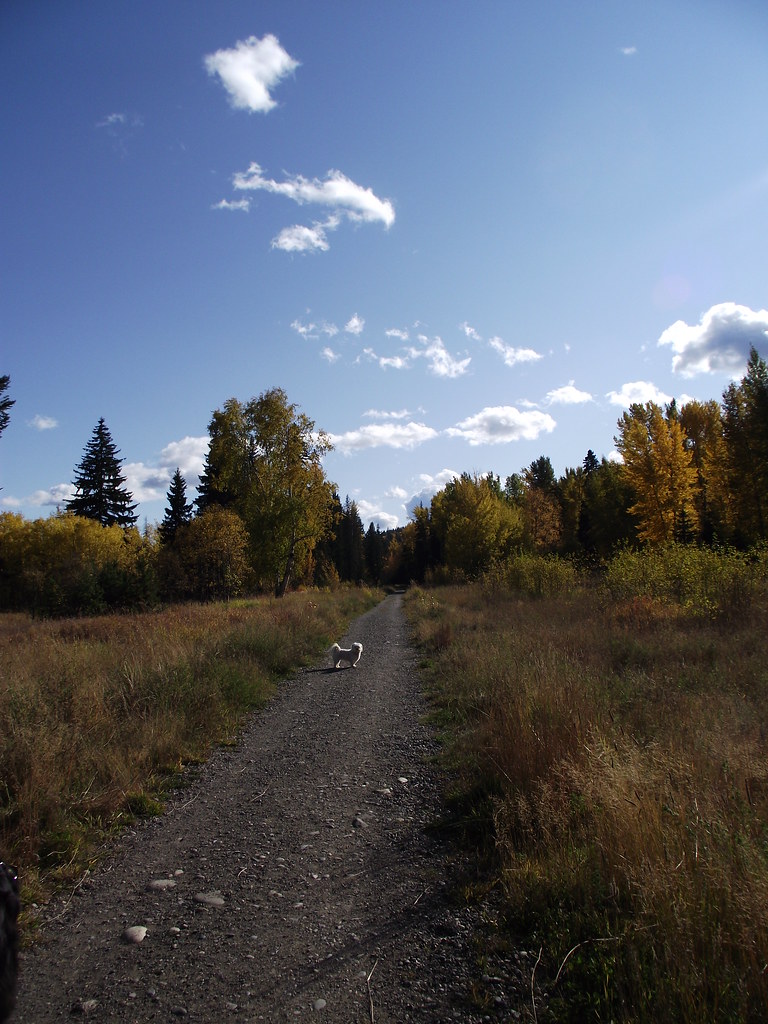
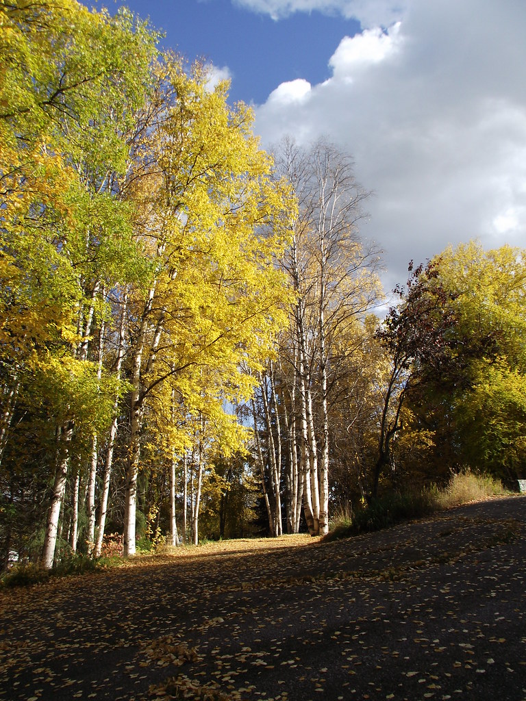
Photos of Ginter’s Meadow
Original photo galleries
These galleries stay on their photographers’ original websites.
- Ginter's Field June 26, 2021 (opens original source) · Caledonia Ramblers
Take this guide with you
Choose a trip pack or an available individual sheet for your map case.
Sources, dates & research notes
Descriptions are written for this guide from the linked evidence. Source review dates, published reports and field observations can differ. Photographs and route lines retain their own attribution and reuse terms.
- https://www.princegeorge.ca/parks-recreation/parks-trails/unbc-connector-trail-system (opens original source)
- https://www.princegeorge.ca/parks-recreation/parks-trails/our-parks-playgrounds/pet-friendly-parks (opens original source)
- https://services2.arcgis.com/CnkB6jCzAsyli34z/ArcGIS/rest/services/OpenData_ParkData/FeatureServer/7 (opens original source)
- https://caledoniaramblers.ca/trails/ginters-field (opens original source)
Details still being researched
- gainM
- accessibility
- camping
- seasonal
Nearby and related guides
- Walks · Prince George
UNBC Connector Trail System
Paths between the city below and University Way above offer both relatively level walks and a sustained hill workout. Ginter’s Meadow forms a useful lower access to the wider…
11.5 km of trails · Choose your walking routeRead guide → - Walks · Prince George
Backside Trail
A roughly 9 km loop uses several named forest paths behind UNBC, including an informal Backside segment. Frequent junctions make it a navigation walk through a network rather than…
Moderate / 9 km loopRead guide →  Photo: Andrew Kurjata · CC BY-NC-SA 2.0 · Noncommercial onlyWalks · Prince George
Forests for the World
A forest network on Cranbrook Hill with Shane Lake, picnic shelters and connections toward UNBC and the Greenway. Choose a short lakeside outing or extend onto the hill’s longer…
15.2 km of trails · Choose your walking routeRead guide →- Walks · Prince George
Wilson Park
A riverside trail system follows the southern bank of the Nechako through a nature park. It offers changing river views on a short walk within Prince George.
2.5 km of trails · Choose your walking routeRead guide → - Parks · Prince George
Chancellor Park
A University Heights neighbourhood park with new play space and walking connections. The project was built in 2025, with landscaping scheduled for spring 2026, so older maps may…
Read the access and route notesRead guide → - Walks · Prince George
Casino and Cemetery Trail
A paved neighbourhood connection near the cemetery, linking several parts of south-central Prince George. Its appeal is an easy urban walk with multiple entry points rather than a…
3.6 km · trip basis unconfirmedRead guide →