Beaver / Holmes River Falls
A riverside walk near McBride to a small cascade, with old forest and opportunities to observe migrating salmon in August.
Sources reviewed . This is a research date, not a trail inspection.
- Distance
- 2 kmRound trip
- Elevation gain
- Not establishedCumulative ascent for this outing has not been established.
- Walking time
- Not published
- Difficulty
- Easy
Map & elevation
Partial elevation profile
Mapped portion · walking direction unconfirmed · 1.04 km
This chart covers only part of the route. It does not establish the full hike or a return journey.
Coverage and elevation sources
1.04 km along source section 1 of 1, in its mapped direction. Approximate 90 m terrain model along this mapped section. Separate sections are not joined. This chart does not measure total trail ascent or establish current access; use the guide’s published outing measurements.
Copernicus GLO-90 terrain elevations via Open-Meteo (CC BY4.0); linework: Open Database License (ODbL) 1.0 · checked 2026-10-18 · CC BY4.0 elevation data; Open Database License (ODbL) 1.0 linework. Copernicus DEM 2021 GLO-90 via Open-Meteo. Linework source: https://www.openstreetmap.org/way/1560876829. Sampled and rounded for display.
Mapped named trail. Shows the named source trail. The full published outing, return journey and current on-the-ground alignment are not independently established by this line. Line source (opens original source).
Getting there & parking
The tourism guide locates the access about 11 km east of McBride, on the north side of the Highway 16 crossing of the Beaver/Holmes River.
Full access notes
Follow Highway 16 east from McBride for about 11 km to the Holmes River bridge. The historical Green Guide places the walking-trail pullout on the west side of the highway bridge; this is separate from the Beaver River forest-road approach and campsite on the other side of the crossing. Look for the signed river trail and a safe pullout. The exact current parking arrangement has not been reconfirmed, so do not stop on the travelled highway lane.
Map position: 53.25168, -120.02756 · historical published trailhead / parking area (2010). Beaver / Holmes River Falls trailhead: 53 15.1007 N, 120 1.6533 W (degrees and decimal minutes), PDF page 1. Historical source parking location; current access not confirmed. The tourism-hosted guide identifies itself as a research copy and says access, trails and amenities have not been updated. Coordinate provenance is verified; current access is not.
On the trail
Follow the trail upstream along the west side of the Beaver/Holmes River toward the small waterfall.
Turn around at the falls-viewing section and retrace the riverside path; the tourism guide describes a 2 km out-and-back outing.
Full route notes
Follow the established path upstream beside the Holmes, also called the Beaver River, to the waterfall viewpoints, then retrace the riverside approach. The tourism description gives an approximately 2 km return outing and highlights a variety of tree species along the way. August is a useful time to watch for salmon moving upstream. Riverbank erosion and slick rock beside the falls are specifically identified in the older guide; stay on the landward side of the bank and view the cascade from the trail rather than descending onto wet ledges.
The way back
Return along the same west-bank trail. The source’s 2 km figure is the complete return, not a 2 km approach.
Conditions & seasons
The tourism guide identifies August for salmon viewing. High water changes the river edge and the older guide records eroding banks; snow or ice can add difficulty to the same short approach.
These are dated research notes. Open the trip planner for current available weather and advisory feeds; no alert found does not establish that a trail or road is open.
Camping & overnight plans
The older Green Guide describes a separate riverside campsite reached about 1 km along Beaver River Forest Road. That is a historical camping reference, not confirmation that overnight use or facilities are currently available beside the waterfall trail.
Photos of Beaver / Holmes River Falls
A photograph with confirmed reuse permission has not yet been added to this guide.
Take this guide with you
Choose a trip pack or an available individual sheet for your map case.
Sources, dates & research notes
Descriptions are written for this guide from the linked evidence. Source review dates, published reports and field observations can differ. Photographs and route lines retain their own attribution and reuse terms.
- https://mcbridetourism.ca/adventure-outdoor/hiking/ (opens original source)
- https://mcbridetourism.ca/wp-content/uploads/McBrides-Green-Guide.pdf (opens original source)
OpenStreetMap line references (1)
These contributor-mapped features support the map geometry. They are separate from the written access and route sources.
Details still being researched
- Numeric gain is not published by the tourism source.
Nearby and related guides
- Hikes · McBride & Robson Valley
Horseshoe Lake
A short McBride outing to an abandoned Fraser River channel, with wetland birdwatching and a gazebo at the lake.
Easy / 2.6 km round tripRead guide → - Hikes · McBride & Robson Valley
Groeneveld Trail
A steep historic sheep-drive route from the Robson Valley toward alpine meadows and views of the surrounding mountain ranges.
10 km round tripRead guide → - Hikes · McBride & Robson Valley
McBride Mountain Trails
A multiuse trail network on the lower slopes of McBride Peak, with easy viewpoints and steeper hiking and mountain-bike routes.
ModerateRead guide → 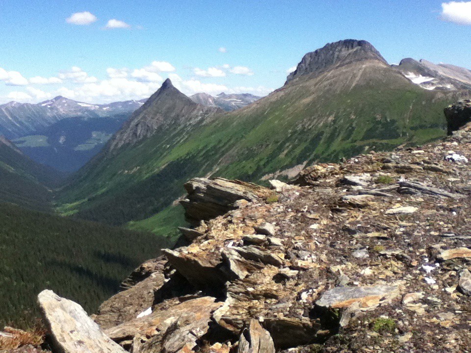 Photo: Jim Swanson · CC BY 2.0Hikes · McBride & Robson Valley
McBride Peak
Alpine walks include McBride Peak and longer ridges toward Teare Mountain. High road access changes hike length.
Moderate / 4 km round trip / 450 m gainRead guide →- Hikes · McBride & Robson Valley
Bluff / Connector / Outrun
A lower-mountain loop above McBride, using shared trails with viewpoints across town and the Cariboo Mountains.
Easy / 5 km loopRead guide → - Hikes · McBride & Robson Valley
Lucille Mountain
An alpine approach above McBride that passes a snowmobile cabin before continuing to a broad summit with Robson Valley views.
Moderate / 2.7 km · route segmentRead guide →