McBride & Robson Valley
Explore the Robson Valley around McBride, Dunster and the surrounding mountain valleys. Highway-side outings sit close to longer hikes reached by resource roads. Road descriptions and route endpoints matter when comparing distance, gain and travel time.
27 of 27 places
Open map search →- hike · McBride & Robson Valley
Erg Mountain
Creek crossing followed by steep forest climb to alpine terrain; lake and summit are different objectives.
Expert · 8 to 10 hoursAbout 152 min drive from PGRead guide → - hike · McBride & Robson Valley
Ptarmigan Creek / Hammel Lakes
Valley approach to three subalpine lakes.
Read the approach and route notesAbout 152 min drive from PGRead guide → - hike · McBride & Robson Valley
Humbug Ridge
Steep forest ascent to long alpine ridge; route can be difficult near old logging areas.
Hard · 8 km round trip · 1,050 m gain · 4 - 5 hoursRead guide → - hike · McBride & Robson Valley
Zig Zag Ridge
A demanding ridge route near Crescent Spur starts with an easier road approach before a sustained climb into the alpine. Driving farther up the resource road can shorten the walk,…
Hard · 17.8 km round trip · 1,335 m gain · See time notes Recorded total time 8 hours 36 minutes; conditions and start point change thisRead guide → - hike · McBride & Robson Valley
Historic Goat River
A remote historic crossing between the upper Fraser River and the Bowron Lake plateau, with separate trail sections linked by a forest road.
49 km point to point · 3–5 daysRead guide → - hike · McBride & Robson Valley
Upper Goat River Cable Car
A short section of the historic Goat River corridor that reaches a cable-car crossing, with a remote forest-road approach.
Moderate · 7 km round tripRead guide → - waterfall · McBride & Robson Valley
Hellroaring Falls
Waterfall destination; public lawful access and current trailhead require confirmation.
0.54 km round trip · 65 m gainRead guide → - hike · McBride & Robson Valley
Lower Goat River
Linear trail through old cedar forest; Loos-to-highway and Loos-to-FSR are different sections.
Moderate · 14.5 km point to point · 300 m gain · 4 to 6 hours one wayRead guide → - hike · McBride & Robson Valley
Boulder Mountain
Old-road start climbs to former cabin site, then unmarked alpine terrain continues to the summit.
Hard · 15 km round trip · 1,200 m gain · 6 - 8 hoursAbout 144 min drive from PGRead guide → - waterfall · McBride & Robson Valley
Horseshoe Falls
Waterfall destination; public lawful access and current trailhead require confirmation.
0.94 km round trip · 75 m gainRead guide → - waterfall · McBride & Robson Valley
Morkill Falls
Waterfall destination; public lawful access and current trailhead require confirmation.
0.45 km round trip · 57 m gainRead guide → - hike · McBride & Robson Valley
West Twin Old Growth
A short interpretive forest loop among mature cedar and hemlock just off Highway 16 west of McBride.
Easy · 1.2 km loop · Approx. 50 m gainRead guide → - cabin · McBride & Robson Valley
Ozalenka Cabin
Closure notice recorded · check guideCreek-following trail reaches cabin; lake and waterfall extensions are additional outings.
Hard · 14 km round trip · 550 m gain · 8 hours published; time basis not explicitly labelledRead guide → 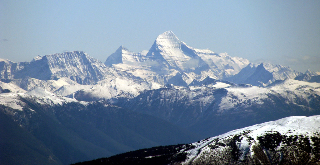 Photo: Dru! · CC BY-NC 2.0 · Noncommercial onlyhike · McBride & Robson Valley
Ozalenka Valley
Closure notice recorded · check guideA creek-valley approach to a bookable alpine cabin, with longer excursions into meadows, lakes and surrounding mountain terrain.
Read the approach and route notesRead guide →- waterfall · McBride & Robson Valley
Kristi Glacier
Closure notice recorded · check guideValley route follows the south fork toward Cariboo Pass, with waterfall, alpine terrain and camping pads farther on.
Hard · 22 km round trip · 8 - 10 hoursRead guide → - hike · McBride & Robson Valley
Bell Mountain
Old road leads into alpine meadows; Little Bell and Big Bell are separate objectives beyond the campsite.
Moderate · 3 hoursRead guide → - hike · McBride & Robson Valley
Paradise Ridge
Ridge and Mount Munroe are separate objectives; detailed route description absent.
Hard · 16 km round trip · 6 to 8 hoursAbout 202 min drive from PGRead guide → - hike · McBride & Robson Valley
Avalanche Valley / Cariboo Lake
Closure notice recorded · check guideCross Avalanche Pass and descend to Caribou Lake on a demanding backcountry outing near McBride. The return climbs out of the lake basin before descending the valley; damaged…
Hard · 28.48 km round trip · Calculated 1,357 m gainRead guide → - hike · McBride & Robson Valley
Eagle Valley Cabin
Closure notice recorded · check guideCabin approach offers further alpine day hikes; reservation arrangements must be checked with the operator.
Hard · 18 km round trip · Approx. 690 m gain · 6 - 8 hoursRead guide → - hike · McBride & Robson Valley
Lucille Mountain
An alpine approach above McBride that passes a snowmobile cabin before continuing to a broad summit with Robson Valley views.
ModerateRead guide → - hike · McBride & Robson Valley
Bluff / Connector / Outrun
A lower-mountain loop above McBride, using shared trails with viewpoints across town and the Cariboo Mountains.
Easy · 5 km loopRead guide → - hike · McBride & Robson Valley
McBride Mountain Trails
A multiuse trail network on the lower slopes of McBride Peak, with easy viewpoints and steeper hiking and mountain-bike routes.
ModerateAbout 236 min drive from PGRead guide → 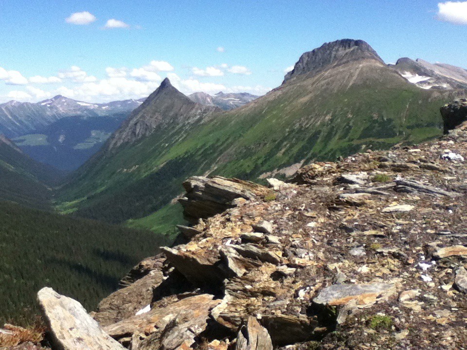 Photo: Jim Swanson · CC BY 2.0hike · McBride & Robson Valley
McBride Peak
Alpine walks include McBride Peak and longer ridges toward Teare Mountain. High road access changes hike length.
Moderate · 4 km round trip · 450 m gain · 4 hoursAbout 236 min drive from PGRead guide →- hike · McBride & Robson Valley
Horseshoe Lake
A short McBride outing to an abandoned Fraser River channel, with wetland birdwatching and a gazebo at the lake.
Easy · 2.6 km round tripRead guide →