Butler Ridge
A forest climb reaches open ridge walking and broad views above Williston Lake. The second peak is a longer objective, while a shorter trip can turn around when it reaches the alpine.
Sources reviewed . This is a research date, not a trail inspection.
- Distance
- 15 kmRound trip
- Elevation gain
- 875 mPublished route measurement
- Walking time
- 6 hours
- Difficulty
- Not rated
Map & elevation
Partial elevation profile
Mapped portion · walking direction unconfirmed · 6.77 km
This chart covers only part of the route. It does not establish the full hike or a return journey.
Coverage and elevation sources
6.77 km along source section 1 of 1, in its mapped direction. Approximate 90 m terrain model along this mapped section. Separate sections are not joined. This chart does not measure total trail ascent or establish current access; use the guide’s published outing measurements.
Copernicus GLO-90 terrain elevations via Open-Meteo (CC BY4.0); linework: Open Database License (ODbL) 1.0 · checked 2026-10-18 · CC BY4.0 elevation data; Open Database License (ODbL) 1.0 linework. Copernicus DEM 2021 GLO-90 via Open-Meteo. Linework source: https://www.openstreetmap.org/way/99652800. Sampled and rounded for display.
Mapped named trail. Shows the named source trail. The full published outing, return journey and current on-the-ground alignment are not independently established by this line. Line source (opens original source).
Getting there & parking
From Hudson’s Hope follow Canyon Drive for 15 km, then turn right onto Twelve Mile Road. Continue approximately 17.5 km, looking for a small metal hiking sign on the right about 350 m beyond the Portage Mountain Yacht Club. The local guide was last reviewed in June 2019; verify current road access and signage before the drive. Do not assume the yacht club’s facilities or parking are part of the hiking access.
Map position: 56.16000, -122.26444 · named ridge (2) reference point (not a trailhead). BC Gazetteer: Butler Ridge | Ridge (2) | 56 09 35 N | 122 15 51 W | WGS84 | mapsheet 94B/1 Official named-feature location, not parking or a verified route start. This point supports regional orientation and area forecasts; road directions and distance-to-trailhead must use a separately verified access point.
On the trail
Climb through the forest on the defined route, including several steep sections, until the terrain opens onto the alpine ridge. Early-season insects can be heavy in the trees. From the alpine, decide whether to make it your turnaround or continue along the ridge toward the second peak. The 15 km return and approximately 875 m gain apply to that longer second-peak outing, not simply reaching treeline. The source expects no reliable water on the trail, so carry the day’s supply. Keep the descent entrance identifiable and return along the same forest route before weather obscures the ridge.
The way back
Retrace the ascent. The 15 km return and six-hour estimate are for reaching the second peak, not merely entering the alpine.
Terrain: alpine.
Conditions & seasons
Season-specific access has not been established in this guide. Read the dated notices and original land-manager information before choosing a departure date.
These are dated research notes. Open the trip planner for current available weather and advisory feeds; no alert found does not establish that a trail or road is open.
Camping & overnight plans
On-route camping permission has not been established for this outing. Check the relevant land manager before planning an overnight stay; a mapped lake, cabin or previous tent location does not confirm permission.
Photos of Butler Ridge
A photograph with confirmed reuse permission has not yet been added to this guide.
Surrounding area and context
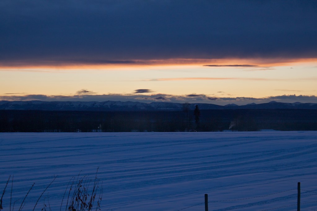
These photographs provide context; they do not establish the appearance of this selected route or facility.
Take this guide with you
Choose a trip pack or an available individual sheet for your map case.
Sources, dates & research notes
Descriptions are written for this guide from the linked evidence. Source review dates, published reports and field observations can differ. Photographs and route lines retain their own attribution and reuse terms.
- https://chetoutdoors.wordpress.com/butler-ridge/ (opens original source)
- https://catalogue.data.gov.bc.ca/dataset/bc-geographical-names (opens original source)
- https://catalogue.data.gov.bc.ca/dataset/d92224ee-03ef-4904-be53-b677d8e01ac4/resource/69738aa8-2cc0-4975-aec6-4dc2e30990bf/download/bc-gazetteer-2026-08-12.csv (opens original source)
OpenStreetMap line references (1)
These contributor-mapped features support the map geometry. They are separate from the written access and route sources.
Details still being researched
- No site-specific dog rule verified in reviewed sources.
- No on-route/designated camping permission verified.
Nearby and related guides
- Viewpoints · Pine Pass, Chetwynd & Peace
Bullhead Mountain
A short, steep climb near Hudson’s Hope follows the powerline corridor toward a BC Hydro facility and views of Williston Lake. Its compact distance still involves substantial…
3.83 km round trip / 420 m gainRead guide → - Hikes · Pine Pass, Chetwynd & Peace
Battleship Mountain
A strenuous summit route beyond the W.A.C. Bennett Dam country. The long industrial-road approach and old maintenance report require current access checks before treating it as a…
12.5 km round trip / 925 m gainRead guide → - Hikes · Pine Pass, Chetwynd & Peace
Twin Sisters alpine lake
A long approach through forest and past a fire-lookout site reaches an alpine lake below the Twin Sisters. The lake is the full-day hiking objective here; reaching a summit adds…
15.7 km round trip / 964 m gainRead guide → - Hikes · Pine Pass, Chetwynd & Peace
Mount Bickford Horse Trail
An alternative approach to Bickford’s alpine terrain branches from the fire-lookout route. It involves brush and uncertain marking, with possible ridge extensions for experienced…
6.6 km round trip / 360 m gainRead guide → - Hikes · Pine Pass, Chetwynd & Peace
Mount Bickford Fire Tower
A steep, poorly marked mountain route climbs from a powerline road toward the former fire-lookout ridge. The name is historical: a 2025 trip questioned whether the tower still…
5.8 km round trip / 458 m gainRead guide → - Hikes · Pine Pass, Chetwynd & Peace
Le Moray Lakes / Donkey Trail
A remote restored horse-trail corridor reaches upper meadows and the Lemoray lakes. Fallen trees, devil’s club and limited communication make this a backcountry route requiring…
HardRead guide →