Pine Pass, Chetwynd & Peace
Explore Pine Pass, Chetwynd and the Peace-side mountain corridors. Highway rest stops and waterfall viewpoints offer different trips from alpine routes and rough-road trailheads. Summer and winter approaches may differ; use the individual route notes.
18 of 18 places
Open map search →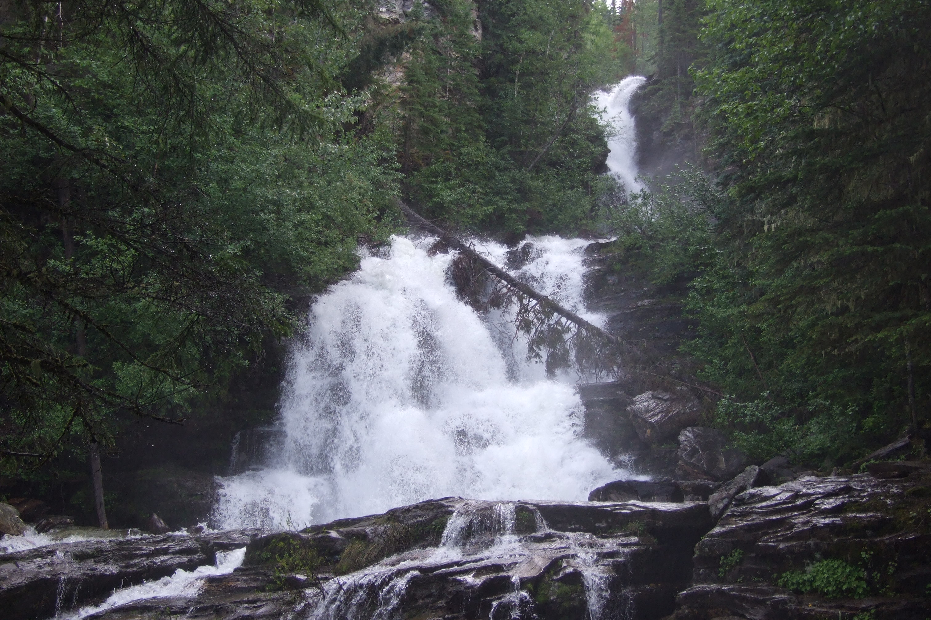 Photo: McDoggo · CC BY 4.0waterfall · Pine Pass, Chetwynd & Peace
Bijoux Falls
A short roadside stop in Pine Pass provides a fenced view of a cascading waterfall. It is a day-use waterfall visit rather than a developed hiking circuit.
Read the approach and route notesRead guide →- hike · Pine Pass, Chetwynd & Peace
Howling Wolves Peak
A former exploration road leads to a steep ridge climb and a summit above the Hasler road country. It is an unmaintained mountain route where the ridge junction, weather and…
12 km round trip · 517 m gain · About 6 hoursRead guide → - hike · Pine Pass, Chetwynd & Peace
Murray Range
A very steep route near Azouzetta Lake climbs an avalanche berm and gully to an open ridge. It is a different access and objective from the better-known Mount Murray route farther…
4.8 km round trip · 870 m gain · About 6 hoursRead guide → - hike · Pine Pass, Chetwynd & Peace
Mount Murray (Pine Pass)
A sustained steep climb above Highway 97 reaches alpine ridges, lakes and several different summit objectives. The first high point, lake basin and main Mount Murray summit must…
Hard · 6–8 hours published outing scope unspecifiedRead guide → - hike · Pine Pass, Chetwynd & Peace
Mount Stephenson lake approach
A seismic-line ascent reaches alpine lake country below Mount Stephenson. This guide’s main objective is the lake approach; a summit or ridge extension requires separate planning…
7 km round trip · 540 m gain · About 6 hoursRead guide → - hike · Pine Pass, Chetwynd & Peace
Le Hudette Lakes
An undeveloped route climbs from an industrial-road endpoint to alpine lakes and tarns. The initial marsh can be very wet, and optional ridge wandering makes recorded outings much…
7.5 km round trip · 340 m gain · About 4 hoursRead guide → - viewpoint · Pine Pass, Chetwynd & Peace
Solitude Mountain
A strenuous extension above the Heart Lake viewpoints reaches the Solitude Mountain area. The lower path is easier to identify than the upper route, where brush and indistinct…
HardAbout 187 min drive from PGRead guide → - viewpoint · Pine Pass, Chetwynd & Peace
Mountain Creek Canyon Overlook
A steep forest climb from Heart Lake reaches two viewpoints over Mountain Creek. This is the shorter overlook outing; continuing toward Solitude Mountain is a separate, much less…
3.8 km round trip · 470 m gainAbout 187 min drive from PGRead guide → - camping · Pine Pass, Chetwynd & Peace
Heart Lake campground
A user-maintained lakeside campground in Pine Le Moray Park, useful as a base for a quiet lake stay or a separately planned steep mountain outing. Its services differ from a fully…
Camping destination · access & overnight informationRead guide → - hike · Pine Pass, Chetwynd & Peace
Le Moray Lakes / Donkey Trail
A remote restored horse-trail corridor reaches upper meadows and the Lemoray lakes. Fallen trees, devil’s club and limited communication make this a backcountry route requiring…
HardRead guide → - waterfall · Pine Pass, Chetwynd & Peace
Martin Falls
A short undeveloped approach reaches two waterfalls beside Highway 29. Despite the small distance, the creek bed sits between drops and deserves more care than a simple roadside…
1 km round trip · 20 m gain · 1 hourRead guide → - hike · Pine Pass, Chetwynd & Peace
Mount Bickford Fire Tower
A steep, poorly marked mountain route climbs from a powerline road toward the former fire-lookout ridge. The name is historical: a 2025 trip questioned whether the tower still…
5.8 km round trip · 458 m gain · About 3 hoursRead guide → - hike · Pine Pass, Chetwynd & Peace
Mount Bickford Horse Trail
An alternative approach to Bickford’s alpine terrain branches from the fire-lookout route. It involves brush and uncertain marking, with possible ridge extensions for experienced…
6.6 km round trip · 360 m gain · About 5 hoursRead guide → - hike · Pine Pass, Chetwynd & Peace
Mount Tuscoola
A sequence of old road, ATV track and singletrack leads toward alpine terrain above the Lone Prairie area. Creek crossings and a large rock step add route decisions to the…
11.4 km round trip · 650 m gain · About 7 hoursRead guide → - hike · Pine Pass, Chetwynd & Peace
Twin Sisters alpine lake
A long approach through forest and past a fire-lookout site reaches an alpine lake below the Twin Sisters. The lake is the full-day hiking objective here; reaching a summit adds…
15.7 km round trip · 964 m gain · Full day source gives 4–6 hours outward via fire towerRead guide → - hike · Pine Pass, Chetwynd & Peace
Battleship Mountain
A strenuous summit route beyond the W.A.C. Bennett Dam country. The long industrial-road approach and old maintenance report require current access checks before treating it as a…
12.5 km round trip · 925 m gain · 7 hoursRead guide → - viewpoint · Pine Pass, Chetwynd & Peace
Bullhead Mountain
A short, steep climb near Hudson’s Hope follows the powerline corridor toward a BC Hydro facility and views of Williston Lake. Its compact distance still involves substantial…
3.83 km round trip · 420 m gain · 3 hoursRead guide → - hike · Pine Pass, Chetwynd & Peace
Butler Ridge
A forest climb reaches open ridge walking and broad views above Williston Lake. The second peak is a longer objective, while a shorter trip can turn around when it reaches the…
15 km round trip · 875 m gain · 6 hoursRead guide →