The locations GPX contains sourced points with their recorded roles. It contains no trail track or connecting route.
Distance
8.5 kmLoop
Elevation gain
150 mPublished route measurement
Walking time
2–2½ hourspublished estimate
Difficulty
ModerateLoop
Map & elevation
Opening the map…
Elevation profile
A full-route elevation profile is not available yet.
More maps & trail files
AllTrails map
Swift Creek circuit via the lookout on AllTrails
The hosted map shows an approximately 8.8 km circuit through the Swift Creek trail system. The shorter lookout return is a different outing; keep the chosen start, junction sequence and measurements together.
A reusable trail line has not yet been verified for this outing. Any location pin shows the published location described above; it does not draw the hike or establish a navigable approach.
Getting there & parking
From central Valemount, follow Fifth Avenue east across the railway tracks, turn left onto Main Street and continue roughly 1 km. The local guide describes parking on the west side of the road near the bridge, opposite Golden Years Lodge. The creek trail begins immediately beyond the bridge on the right. Keep driveways and the bridge approach clear.
Estimated drive from Prince George: 4 hr 0 min · 293.5 km. Modeled one-way driving time from Prince George City Hall, using mapped road speeds. Forest-road sections can take substantially longer: surface, clearance, radio procedures, gates, washouts, plowing, and legal access are not verified by the router. No live traffic or invented forest-road multiplier is included. Allow extra time and check the dated access notes.
Map position: 52.83870, -119.26781 · trailhead. source-published; not field-verified
On the trail
Follow the creek-side network past large cedars and the lookout, linking the suspension-bridge crossing and the trails toward 5-Mile Road into a loop. At mountain-bike intersections, use the number 6 trail markers to stay on the intended walking circuit. Near 5-Mile Road, look across the road for the signed descent that avoids most of the dusty vehicle route, while still using a few short road sections. The local guide lists an 8.5 km loop; other pages use a rounded 10 km figure for a longer combination. The southwest side can become muddy after rain, and the climb immediately below the lookout is steep. This creek supplies the village’s drinking water: keep people and pets out of the water and away from salmon nests.
The walking guide recommends spring through autumn. Salmon are most often seen near the lower creek from mid-to-late August, with occasional September sightings near the water intake. Wet conditions affect the southwest trail section, and bike shuttles can make 5-Mile Road dusty in summer.
These are dated research notes. Open the trip planner for current available weather and advisory feeds; no alert found does not establish that a trail or road is open.
On-route camping permission has not been established for this outing. Check the relevant land manager before planning an overnight stay; a mapped lake, cabin or previous tent location does not confirm permission.
Photos of Swift Creek Loop
A photograph with confirmed reuse permission has not yet been added to this guide.
Surrounding area and context
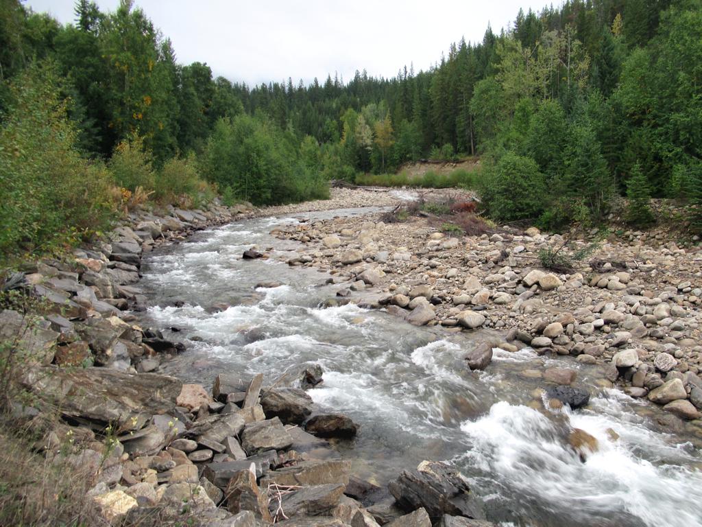
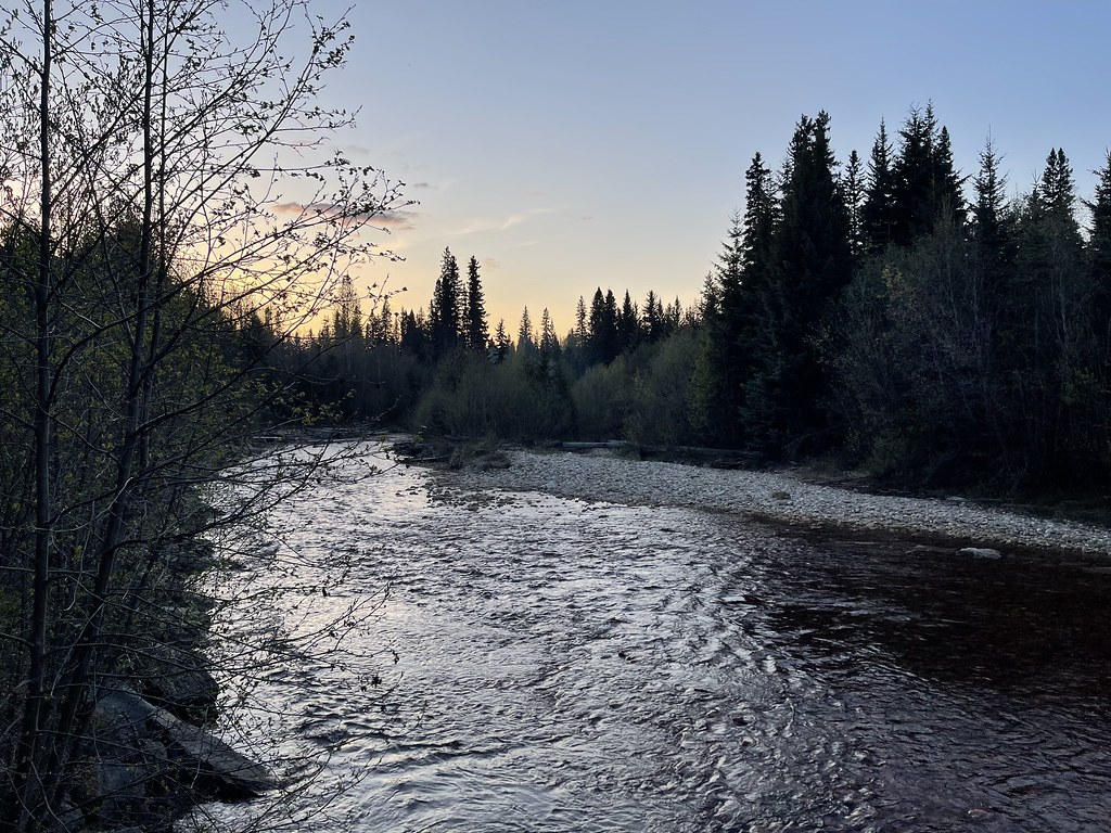
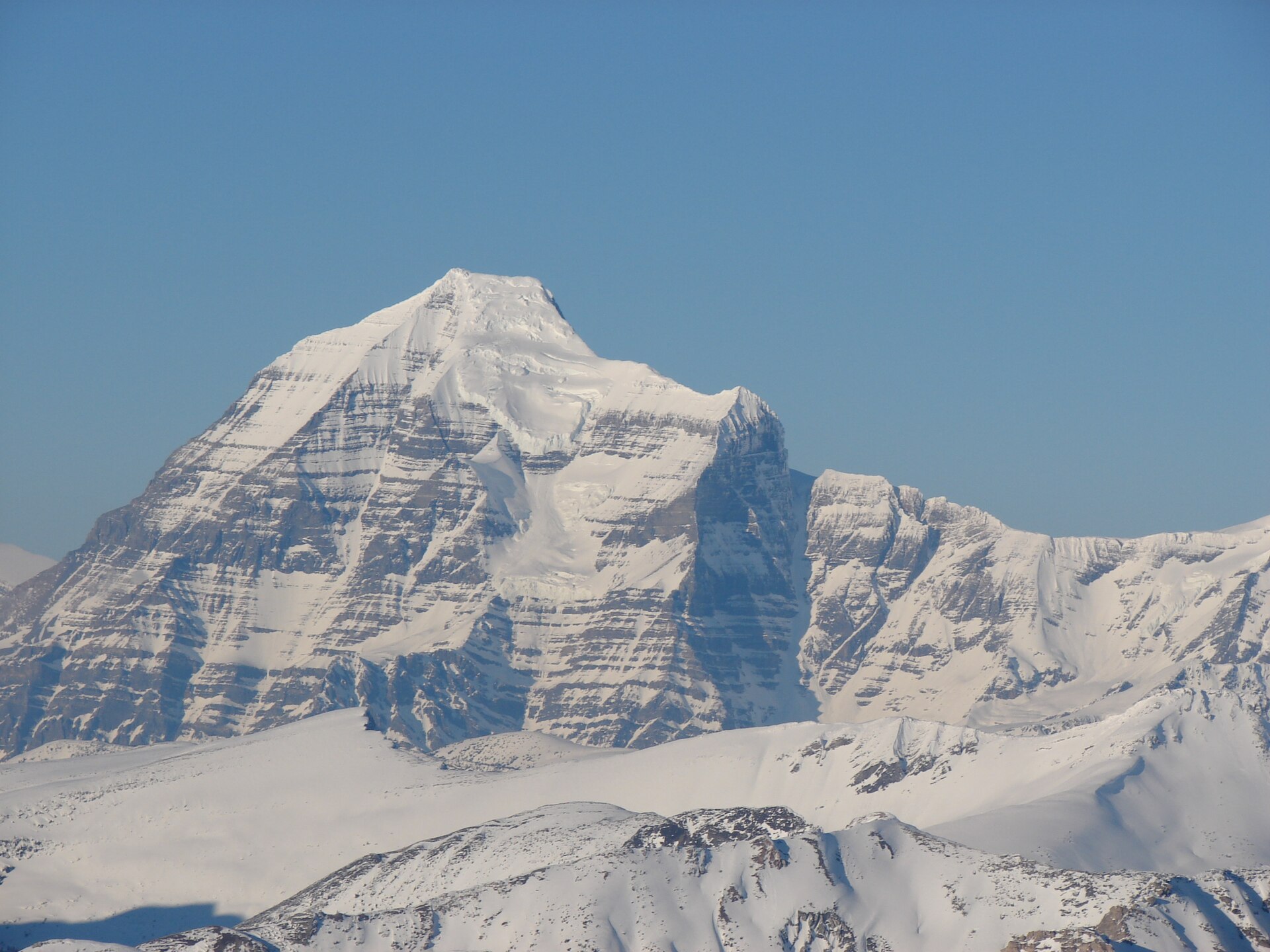
These photographs provide context; they do not establish the appearance of this selected route or facility.
Swift Creek at Valemount on 9 September 2021. This photograph shows the creek setting; it does not identify a specific trail junction.Swift Creek (51550039284).jpg (opens original source) · David Stanley from Nanaimo, Canada · CC BY 2.0 (opens original source) · 2021-09-09 18:04. Downloaded provider display size; no local image edits. Display may crop the view.
Original photo galleries
These galleries stay on their photographers’ original websites.
Descriptions are written for this guide from the linked evidence. Source review dates, published reports and field observations can differ. Photographs and route lines retain their own attribution and reuse terms.