Driscoll Ridge — East Driscoll Trail
The lower ascent passes from cedar forest into spruce and subalpine fir before reaching a ridge with open glades and mountain views. The eastern source listing gives approximately 5 km to the ridge and 9.5 km to the summit, but does not supply a detailed contemporary junction sequence. The western ridge description confirms that the linking ridge traverse requires solid route-finding and has not been maintained recently. Select a clear turnaround rather than assuming an eastern climb can automatically be extended into a full loop.
Sources reviewed . This is a research date, not a trail inspection.
The locations GPX contains sourced points with their recorded roles. It contains no trail track or connecting route.
- Distance
- 19 kmRound trip
- Elevation gain
- Not establishedThe current club page does not publish a gain for the east route; earlier imported 720/1,200 m figures are not used.
- Walking time
- 6 - 8 hoursto summit
- Difficulty
- Not ratedThere and Back
Map & elevation
Elevation profile
A full-route elevation profile is not available yet.
A reusable trail line has not yet been verified for this outing. Any location pin shows the published location described above; it does not draw the hike or establish a navigable approach.
Getting there & parking
Use the Ancient Forest visitor access on Highway 16 for the eastern side of the Driscoll Ridge system, then confirm the signed ridge-trail junction on the park map before leaving the lower forest paths. The eastern approach is a mountain trail beyond the short boardwalk visit; do not use the boardwalk’s short length as the distance to the ridge.
Driving access has not been established for this selected route option; check its original sources.
Map position: 53.80281, -121.31373 · destination reference point. Official KMZ waypoint named Driscoll West Trailhead: -121.3137254971201,53.80280860627549. Western access point. Replaces inconsistent 2010 tourism-guide point. Crossover needs transport planning at both ends. This point is not a confirmed starting point for the selected route option.
On the trail
The lower ascent passes from cedar forest into spruce and subalpine fir before reaching a ridge with open glades and mountain views. The eastern source listing gives approximately 5 km to the ridge and 9.5 km to the summit, but does not supply a detailed contemporary junction sequence. The western ridge description confirms that the linking ridge traverse requires solid route-finding and has not been maintained recently. Select a clear turnaround rather than assuming an eastern climb can automatically be extended into a full loop.
Conditions & seasons
The high ridge has a different snow season from the low forest boardwalks. BC Parks provides avalanche-terrain information for Driscoll; a summer loop description should not be treated as a verified winter route.
These are dated research notes. Open the trip planner for current available weather and advisory feeds; no alert found does not establish that a trail or road is open.
Camping & overnight plans
Neither the western Driscoll parking area nor Ancient Forest parking allows overnight camping. Purden Lake is the nearby established campground identified by BC Parks. No serviced tent site was verified on the ridge itself.
Photos of Driscoll Ridge — East Driscoll Trail
A photograph with confirmed reuse permission has not yet been added to this guide.
Original photo galleries
These galleries stay on their photographers’ original websites.
- Driscoll Ridge — March 24, 2024 trip gallery (opens original source) · Caledonia Ramblers
Take this guide with you
Choose a trip pack or an available individual sheet for your map case.
Sources, dates & research notes
Descriptions are written for this guide from the linked evidence. Source review dates, published reports and field observations can differ. Photographs and route lines retain their own attribution and reuse terms.
- https://caledoniaramblers.ca/trails/east-driscoll-trail (opens original source)
- https://caledoniaramblers.ca/trails?page=1 (opens original source)
- https://bcparks.ca/ancient-forest-chun-toh-whudujut-park/ (opens original source)
- https://nrs.objectstore.gov.bc.ca/kuwyyf/driscoll_trail_d2260c3fd0.kmz (opens original source)
- https://routing.openstreetmap.de/about.html (opens original source)
- https://caledoniaramblers.ca/trails/west-driscoll-ridge (opens original source)
Other route names still being researched (1)
These names appear in source inventories, but an individual walking guide has not been established yet.
- Driscoll ridge crossover
Details still being researched
- The park page gives no cumulative gain for this entire loop; 1,065 m on the Ramblers west-summit route must not be silently assigned to it.
Nearby and related guides
- Hikes · Upper Fraser & Sugarbowl
West Driscoll Ridge
West and East Driscoll approaches join on ridge; summit return and crossover need separate distances.
Hard / 15 km round trip / 1,065 m gainRead guide → - Hikes · Upper Fraser & Sugarbowl
East Driscoll Trail
Climb from cedar forest into open ridge glades on the east side of Driscoll Mountain. Choose a ridge or summit turnaround in advance; the rough west-ridge connection requires a…
Hard / 19 km round tripRead guide → - Hikes · Upper Fraser & Sugarbowl
Red Mountain Cabin
Forest climb to renovated cabin; metrics depend strongly on starting point.
Hard / 25 km round trip / 900 m gainRead guide → 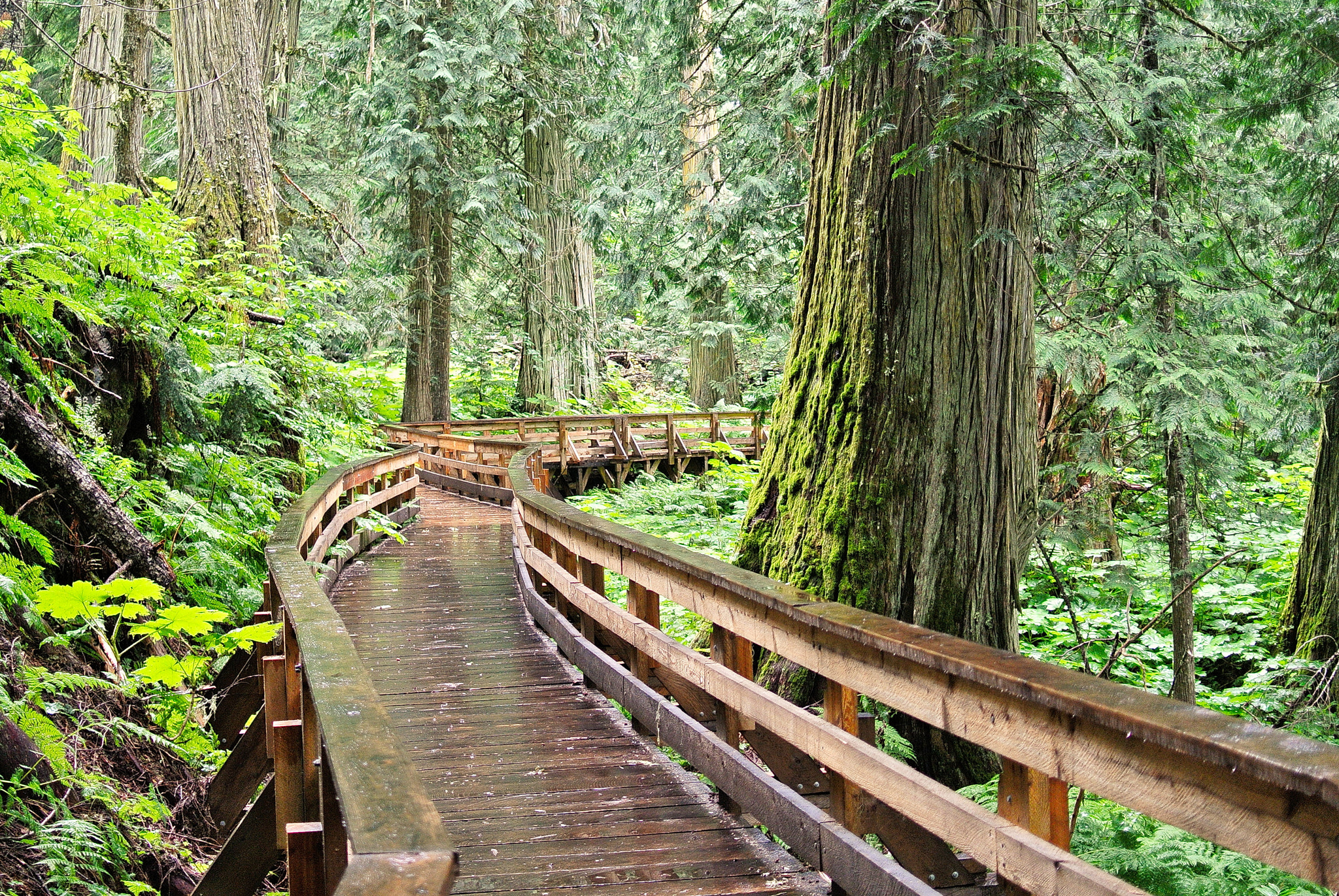 Photo: Gord Schindell · CC BY 3.0Waterfalls · Upper Fraser & Sugarbowl
Ancient Forest Boardwalk Trail
Forest boardwalk reaches large trees and waterfall.
2.3 km · trip basis unconfirmedRead guide →- Walks · Upper Fraser & Sugarbowl
Ancient Forest Universal Access Boardwalk
Accessible boardwalk through old cedars.
0.9 km round trip / Approx. 30 m gain · terrain estimateRead guide → 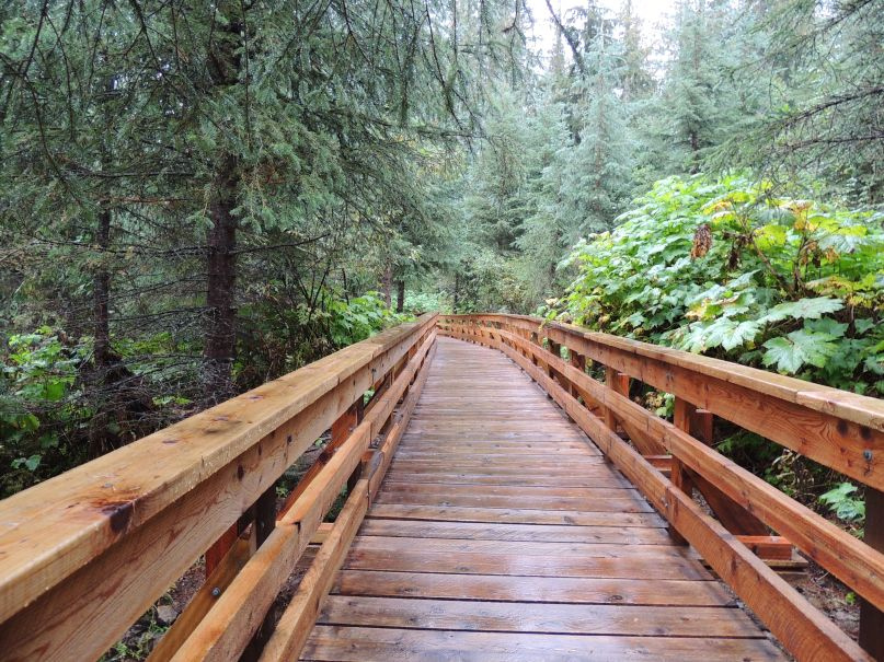 Photo: Kevin M Klerks from Kincardine, Canada · CC BY 2.0Waterfalls · Upper Fraser & Sugarbowl
Ancient Forest
Cedar-forest paths include a waterfall and an accessible boardwalk; the accessible section needs separate length and grade data.
Easy / 2.4 km · trip basis unconfirmed / Not established gainRead guide →