Skip to guide
northward.NORTHERN BRITISH COLUMBIA
Parks · Prince George · Prince George

Otway Trails — Caledonia Nordic

Forest trails within Prince George for summer walks and winter snowshoeing, with a separate ski network and a recently opened paved recreation circuit. Choose trails for the activity and season: access rules change between these networks.

Sources reviewed . This is a research date, not a trail inspection.

Distance
Not publishedTrip basis unconfirmed
Elevation gain
Not establishedCumulative ascent for this outing has not been established.
Walking time
Not published
Difficulty
Not rated

Map & elevation

Opening the map…

Elevation profile

A full-route elevation profile is not available yet. The mapped paths have not been verified as one continuous outing.

Choose a specific route where available. Individual map fragments are not shown as separate hike stages.

More maps & trail files

Named Otway core network paths. Selected Nordic paths for summer reference; the full club network and separate winter snowshoe routes are not all drawn. Choose the Pine Flats and Greenway variant for a complete mapped summer outing. Line source (opens original source).

Original map 1 (opens original source)

Getting there & parking

Go to 8141 Otway Road. The club estimates about 15 minutes from downtown Prince George. Start at the main lodge parking for ordinary visits. Winter visitors with dogs use the Barking parking lot, 400 m east of the main facility beyond the railway tracks; obtain the required trail pass before moving to that lot.

Estimated drive from Prince George: 15 min. Published approximate drive, not a live routing result; no specific downtown start or traffic conditions supplied.

Open driving directions →

Map position: 53.97105, -122.87332 · official address-geocoder road access point for operator-published street address. Club publishes 8141 Otway Road. BC Address Geocoder matched that address at CIVIC_NUMBER precision with score 100 and accessPoint descriptor; positional accuracy medium. This marks road access to the facility, not an individual trail start.

On the trail

Summer walkers share the forest network with cyclists and disc golfers. Keep off singletrack signed for downhill cycling only. On the paved circuit, follow its directional signs, keep right and yield to roller skiers. Training sessions and competitions can reserve that circuit; check the club event calendar.

For a short facility-area outing, the Rotary Terrain Park and picnic shelter are about 400 m from the main parking. Santa’s Cabin is less than 2 km from the lodge and opens for special events. These are destination distances, not measured loop totals. Use the current seasonal map to choose the connecting paths.

Winter snowshoeing requires snowshoes and a snowshoe pass; walking in boots damages the prepared tracks. Ski tracks are reserved for skis. The dog snowshoe route has a separate access arrangement described in the winter guide.

Terrain: forest tracks · singletrack · paved paths.

Accessibility

Designated accessible parking serves the lodge and rental shop. Automatic doors and accessible washrooms are provided at the lodge and technical building. These facility provisions do not establish that every forest trail is suitable for wheelchairs.

Distance and elevation source notes

The operator describes more than 30 km of summer trails and 55 km of groomed winter trails. Those are network totals, not a single outing.

Individual walking routes need their own checked start, junction sequence, distance and elevation gain.

Conditions & seasons

Winter operations usually run December–April, subject to snow. The winter guide gives a 9:30 pm gate and lighting cutoff. Office hours vary seasonally. For grooming, use the dated Nordic Pulse report; for summer path conditions and event restrictions, use the club’s summer guide and calendar.

Winter day-pass prices checked October 17, 2026

Published snowshoe day passes: adult/senior $10; junior, adaptive or full-time student $6; family $25. Ski passes: $25, $18 and $60 respectively. Prices include GST; children under six and qualifying adaptive support people are free. Verify the current rate before purchase.

Source checked October 17, 2026 · Caledonia Nordic Ski Club (opens original source)

Winter route

Use the dedicated snowshoe map; a winter ski pass does not make ski tracks walking trails. Dogs have a separate snowshoe access route from the Barking lot.

These are dated research notes. Open the trip planner for current available weather and advisory feeds; no alert found does not establish that a trail or road is open.

Check weather & available updates →

Camping & overnight plans

On-route camping permission has not been established for this outing. Check the relevant land manager before planning an overnight stay; a mapped lake, cabin or previous tent location does not confirm permission.

Official reservation information (opens original source)

Photos of Otway Trails — Caledonia Nordic

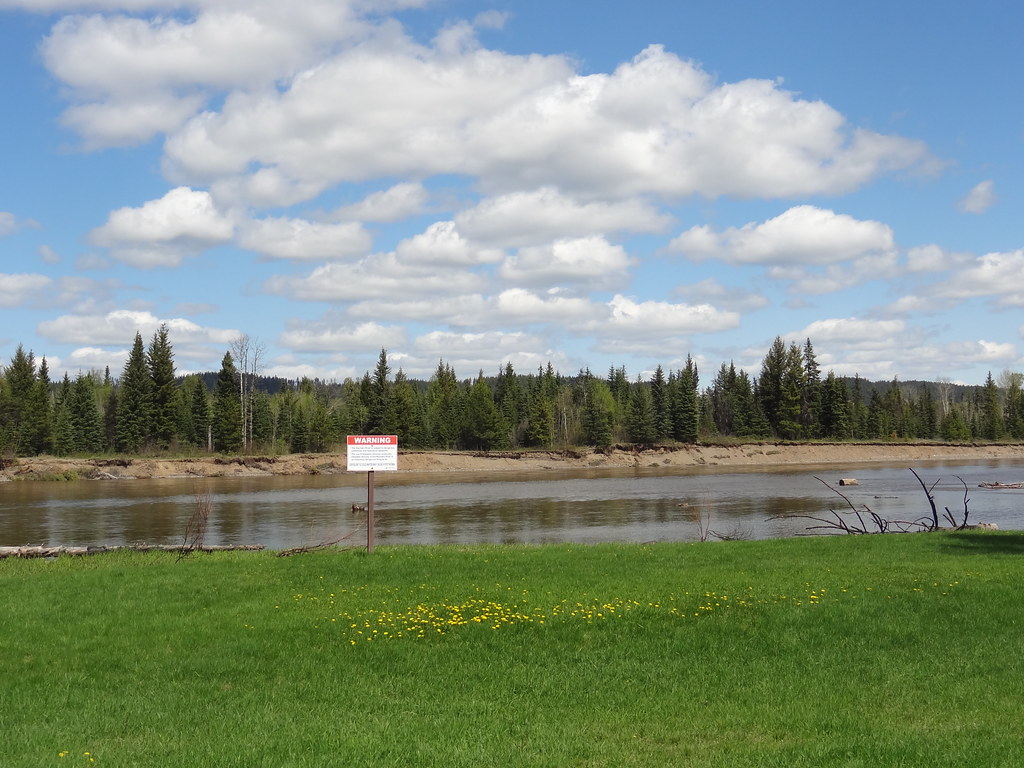
A photograph with confirmed reuse permission has not yet been added to this guide.

Take this guide with you

Choose a trip pack or an available individual sheet for your map case.

Sources, dates & research notes

Descriptions are written for this guide from the linked evidence. Source review dates, published reports and field observations can differ. Photographs and route lines retain their own attribution and reuse terms.
  1. https://caledonianordic.com/ (opens original source)
  2. https://caledonianordic.com/our-club/hours-contact/ (opens original source)
  3. https://caledonianordic.com/trails-facilities/trails/summer-trails/ (opens original source)
  4. https://caledonianordic.com/trails-facilities/trails/winter-trails/ (opens original source)
  5. https://caledonianordic.com/trails-facilities/facilities/club-facilities/ (opens original source)
  6. https://caledonianordic.com/trails-facilities/facilities/para-nordic/ (opens original source)
  7. https://caledonianordic.com/membership-rates/day-passes/ (opens original source)
  8. https://caledonianordic.com/wp-content/uploads/2026/05/Paved-Trail-Map-v7.jpg (opens original source)
  9. https://caledonianordic.com/wp-content/uploads/2025/12/A0-North-Skitrails-central-CNSC-Nov25.pdf (opens original source)
  10. https://caledonianordic.com/wp-content/uploads/2024/11/2022-dec-map-snowshoe-trails-cnsc.pdf.pdf (opens original source)
  11. https://nordic-pulse.com/ski-areas/CA/BC/Caledonia-Nordic (opens original source)
  12. https://geocoder.api.gov.bc.ca/addresses.geojson?addressString=8141%20Otway%20Road%2C%20Prince%20George%2C%20BC&outputSRS=4326&maxResults=3&locationDescriptor=accessPoint (opens original source)
OpenStreetMap line references (19)

These contributor-mapped features support the map geometry. They are separate from the written access and route sources.

  1. https://www.openstreetmap.org/way/453422688 (opens original source)
  2. https://www.openstreetmap.org/way/915565850 (opens original source)
  3. https://www.openstreetmap.org/way/453422706 (opens original source)
  4. https://www.openstreetmap.org/way/1017391293 (opens original source)
  5. https://www.openstreetmap.org/way/453422646 (opens original source)
  6. https://www.openstreetmap.org/way/998461762 (opens original source)
  7. https://www.openstreetmap.org/way/453422698 (opens original source)
  8. https://www.openstreetmap.org/way/453422675 (opens original source)
  9. https://www.openstreetmap.org/way/998461770 (opens original source)
  10. https://www.openstreetmap.org/way/453422615 (opens original source)
  11. https://www.openstreetmap.org/way/453422619 (opens original source)
  12. https://www.openstreetmap.org/way/453422628 (opens original source)
  13. https://www.openstreetmap.org/way/998461766 (opens original source)
  14. https://www.openstreetmap.org/way/453422614 (opens original source)
  15. https://www.openstreetmap.org/way/453422631 (opens original source)
  16. https://www.openstreetmap.org/way/541439820 (opens original source)
  17. https://www.openstreetmap.org/way/541439821 (opens original source)
  18. https://www.openstreetmap.org/way/915565848 (opens original source)
  19. https://www.openstreetmap.org/way/915565849 (opens original source)
Details still being researched
  • defined walking itinerary
  • individual outing distance and elevation gain
  • camping permission
  • summer admission rules
  • mobile service

Nearby and related guides