Kittil Falls
Waterfall reached by a short path from Kittil Falls Recreation Site.
Sources reviewed . This is a research date, not a trail inspection.
- Distance
- 0.4 kmRound trip
- Elevation gain
- Approx. 50 mTerrain-model estimate; not a surveyed measurement.
- Walking time
- Not published
- Difficulty
- Not rated
How the elevation gain was established
Outing: out-and-back outing from Mapped parking / recreation access to Kittil Falls and back; 0.40 km along the mapped itinerary
Copernicus DEM 2021 GLO-90 via Open-Meteo (90 m resolution). v7-smoothed-ascent-1: interpolate retained terrain samples at 100 m spacing; apply one triangular 1:2:1 smoothing pass over ±100 m; preserve start, finish and documented turnaround heights; sum uphill excursions with a 5 m reversal threshold; round to nearest 10 m.
Approximate terrain-model ascent, not a field or GPS measurement. Coarse cells and smoothing can miss small climbs, switchbacks, structures and sharp terrain. Processing sensitivity is not a statistical confidence interval.
Sources checked 2026-10-19.
Map & elevation
Elevation profile
Full round trip · approximately 0.4 km mapped
Approximate terrain elevation. Mapped distance may differ from the published hike distance.
Map and elevation sources
Approximate ground elevation from a 90 m terrain model. Distance follows the mapped itinerary and may differ from published walking distance. This is a terrain-model profile, not a surveyed measurement. Any ascent total is identified separately with its own source or estimation method.
The retained path starts at the mapped REC1425 recreation campsite and ends near the independently named Kittil Falls waterfall node. The recreation directory and tourism waterfall brochure describe the short upstream walk and return. The endpoint is the existing path beside the falls; no line is extended onto the waterfall or across the creek.
Route source 1Route source 2Route source 3Route source 4Route source 5Copernicus GLO-90 terrain elevations via Open-Meteo (CC BY4.0); linework: Open Database License (ODbL) 1.0 · checked 2026-10-18 · CC BY4.0 elevation data; Open Database License (ODbL) 1.0 linework. Copernicus DEM 2021 GLO-90 via Open-Meteo. Linework source: https://www.openstreetmap.org/way/775525075. Sampled and rounded for display.
Complete mapped outing from Mapped parking / recreation access, including the return on the same route. Line source (opens original source).
Getting there & parking
From Highway 16 east of Prince George, take Upper Fraser Road and cross the Fraser River bridge.
The tourism brochure then describes a right turn, 1 km to a left onto Pass Lake Road, about 46 km to McGregor/Sande FSR and another 9 km to the recreation site. Match current road names and kilometre origins locally.
Parking: The small recreation-site entrance is on the right before a bridge.
Full access notes
Take Upper Fraser Road from Highway 16, cross the single-lane Fraser River bridge and continue onto the McGregor forest-road system. At the published McGregor kilometre 46.5 reference, turn onto Sande Forest Service Road; the recreation site is described around Sande kilometre 9. Match those road names and kilometre origins to current signs before leaving the main road. The source does not establish a current vehicle-clearance rating or maintenance guarantee for the final access.
Map position: 54.09698, -121.20920 · recreation project location. Source-published recreation project point; not verified parking or trailhead.
On the trail
Follow the broad creekside path upstream from the recreation site to the falls.
Full route notes
Begin at the small recreation site and follow the short path upstream beside the creek toward the waterfall. Return by the same approach. This is a brief waterfall visit, and the reviewed directory does not supply a longer loop or a sequence of signed trail junctions. Keep the outing within the established creek-side access; the waterfall location and a short mapped line do not establish safe routes across the creek or down onto wet rock.
The way back
Return by the same short creekside path. The tourism brochure does not publish a measured complete return or a longer loop.
Distance and elevation source notes
Source comparison: Published itinerary; 0.3 km; parking to falls scope. This describes the main outing, or an unresolved source estimate, rather than a separate route.
Source comparison: Kittil Falls recreation site; source does not state return basis scope. This is another description of the main outing, a duplicate endpoint, an unscoped source claim, or a related facility.
The complete mapped path from the recreation site to the falls and back measures about 0.40 km. The directory’s 0.3 km parking-to-falls estimate differs; no extra connection is drawn.
Conditions & seasons
The retained sources do not establish winter road maintenance or a maintained winter walking route. Wet creek-side rock and spring runoff can change a short waterfall outing substantially; assess the actual path and river conditions on arrival.
These are dated research notes. Open the trip planner for current available weather and advisory feeds; no alert found does not establish that a trail or road is open.
Camping & overnight plans
The directory describes space for one or possibly two camping parties, with tents allowed. The small capacity means this is not a dependable overflow campground for a large group. No toilet, potable-water facility or reservation system was established in the reviewed source; prepare for a basic self-sufficient stop and follow the site’s posted rules.
Photos of Kittil Falls
A photograph with confirmed reuse permission has not yet been added to this guide.
Original photo galleries
These galleries stay on their photographers’ original websites.
- Kittil Falls — photo showcase (opens original source) · The Outbound
Take this guide with you
Choose a trip pack or an available individual sheet for your map case.
Sources, dates & research notes
Descriptions are written for this guide from the linked evidence. Source review dates, published reports and field observations can differ. Photographs and route lines retain their own attribution and reuse terms.
- https://tourismpg.com/wp-content/uploads/2025/05/36970-PG-Waterfalls_Brochure-1.pdf (opens original source)
- https://wheretocamp.ca/campground/kittil-falls-rec1425 (opens original source)
- https://delivery.maps.gov.bc.ca/arcgis/rest/services/mpcm/bcgwpub/MapServer/280 (opens original source)
- https://www.campingrvbc.com/sites/bc/kittil-falls-upper-fraser-sinclair-mills/ (opens original source)
- https://www.theoutbound.com/canada/photography/photograph-kittil-falls/photos (opens original source)
- https://open-meteo.com/en/licence (opens original source)
- https://open-meteo.com/en/docs/elevation-api (opens original source)
OpenStreetMap line references (3)
These contributor-mapped features support the map geometry. They are separate from the written access and route sources.
Details still being researched
- No measured trail distance, gain or current detailed access-road condition is published.
Nearby and related guides
- Camping · Upper Fraser & Sugarbowl
Kittil Falls recreation site
Upper Fraser Road to McGregor FSR; at km 46.5 take Sande FSR, then approximately 9 km.
Camping destination · access & overnight informationRead guide → - Waterfalls · Upper Fraser & Sugarbowl
Twin Falls near Close-to-the-Edge
A remote waterfall outing near Close-to-the-Edge Park, distinct from the park’s technical cave system.
Read the access and route notesRead guide → - Hikes · Upper Fraser & Sugarbowl
Torpy Mountain
Trail reaches meadow, lakeside camping area and higher ridges; listed distances conflict and need reconciliation.
Hard / 11.4 kmRead guide → 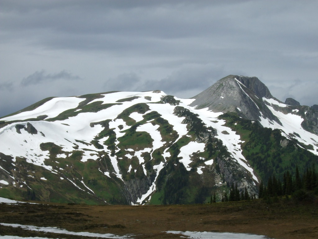 Photo: Outlander 650 · CC BY-NC 2.0 · Noncommercial only; obtain a commercial licence or replace before commercial use.Hikes · Upper Fraser & Sugarbowl
Torpy Mountain extension
Continues beyond park to Torpy Mountain.
12.4 km round trip / 1,019 m gainRead guide →- Hikes · Upper Fraser & Sugarbowl
Torpy Trail
Short alpine-lake trail.
1.5 km · route segmentRead guide → - Camping · Upper Fraser & Sugarbowl
Pass Lake recreation site
A very small gravel-shore campground at the north end of Pass Lake, near the McGregor and Torpy mountain approaches.
Camping destination · access & overnight informationRead guide →