Twin Falls near Close-to-the-Edge
A remote waterfall outing near Close-to-the-Edge Park, distinct from the park’s technical cave system.
Sources reviewed . This is a research date, not a trail inspection.
The locations GPX contains sourced points with their recorded roles. It contains no trail track or connecting route.
- Distance
- Not publishedTrip basis unconfirmed
- Elevation gain
- Not establishedCumulative ascent for this outing has not been established.
- Walking time
- Not published
- Difficulty
- Not rated
Map & elevation
Elevation profile
A full-route elevation profile is not available yet.
A reusable trail line has not yet been verified for this outing. Any location pin shows the published location described above; it does not draw the hike or establish a navigable approach.
Getting there & parking
The published driving link provides a destination northeast of Prince George near the Close-to-the-Edge area, but the article does not establish a complete road sequence or a formal trailhead. Confirm the forest-road approach and stopping place using current local information before planning a visit.
Map position: 54.06400, -121.08994 · historical source-published approach-map destination; access road blocked. Original article Directions link explicitly targets 54.064001,-121.089936, separate from the map viewport. Article video describes the Hedrick Lake approach to Twin Falls. Historical approach destination, not the waterfall itself. June 2026 reports place an impassable washout near kilometre 2 on Gleason FSR, before this old approach. Driving estimates are disabled. Confirm road and legal access with current sources.
On the trail
The reviewed report identifies falls draining from the direction of Close-to-the-Edge Park, but supplies no continuous walking description or reliable measured trail length. The nearby park is known for very deep caves; that context does not mean the falls route enters the cave system or that any cave is suitable for casual exploration. Additional evidence is needed for a safe, reproducible walking itinerary rather than inferring a route from photographs or a map destination.
Conditions & seasons
Season-specific access has not been established in this guide. Read the dated notices and original land-manager information before choosing a departure date.
These are dated research notes. Open the trip planner for current available weather and advisory feeds; no alert found does not establish that a trail or road is open.
Camping & overnight plans
On-route camping permission has not been established for this outing. Check the relevant land manager before planning an overnight stay; a mapped lake, cabin or previous tent location does not confirm permission.
Photos of Twin Falls near Close-to-the-Edge
A photograph with confirmed reuse permission has not yet been added to this guide.
Original photo galleries
These galleries stay on their photographers’ original websites.
Take this guide with you
Choose a trip pack or an available individual sheet for your map case.
Sources, dates & research notes
Descriptions are written for this guide from the linked evidence. Source review dates, published reports and field observations can differ. Photographs and route lines retain their own attribution and reuse terms.
- https://hiking.princegeorge.tech/twin-falls-close-to-the-edge/ (opens original source)
- https://hiking.princegeorge.tech/waterfalls/ (opens original source)
- https://www.google.ca/maps/dir/Prince+George,+BC/54.064001,-121.089936/ (opens original source)
- https://hiking.princegeorge.tech/hedrick-lake-trail-in-northern-bc/ (opens original source)
Details still being researched
- The report has photos and a linked location but no measured hike, gain, detailed road/trail directions, or confirmed public campsite.
Nearby and related guides
- Waterfalls · Upper Fraser & Sugarbowl
Kittil Falls
Waterfall reached by a short path from Kittil Falls Recreation Site.
0.4 km round trip / Approx. 50 m gain · terrain estimateRead guide → - Camping · Upper Fraser & Sugarbowl
Kittil Falls recreation site
Upper Fraser Road to McGregor FSR; at km 46.5 take Sande FSR, then approximately 9 km.
Camping destination · access & overnight informationRead guide → - Hikes · Upper Fraser & Sugarbowl
Torpy Mountain
Trail reaches meadow, lakeside camping area and higher ridges; listed distances conflict and need reconciliation.
Hard / 11.4 kmRead guide → 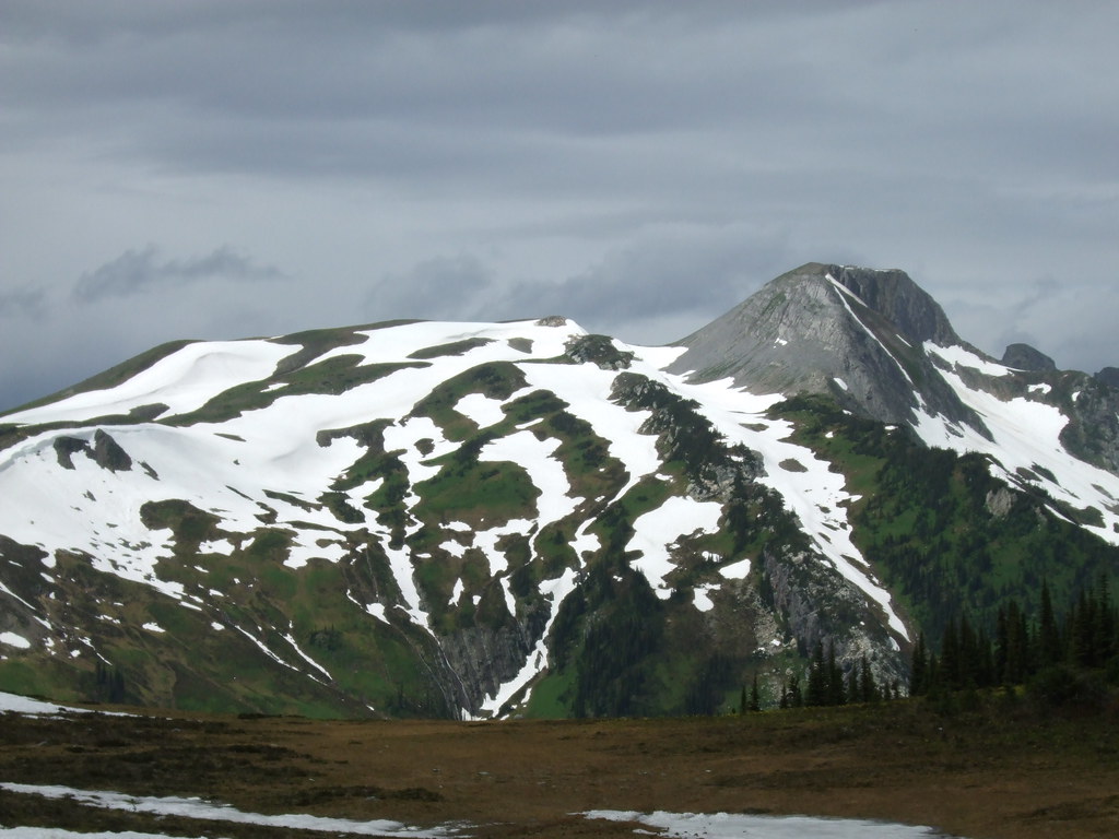 Photo: Outlander 650 · CC BY-NC 2.0 · Noncommercial only; obtain a commercial licence or replace before commercial use.Hikes · Upper Fraser & Sugarbowl
Torpy Mountain extension
Continues beyond park to Torpy Mountain.
12.4 km round trip / 1,019 m gainRead guide →- Hikes · Upper Fraser & Sugarbowl
Torpy Trail
Short alpine-lake trail.
1.5 km · route segmentRead guide → - Camping · Upper Fraser & Sugarbowl
Pass Lake recreation site
A very small gravel-shore campground at the north end of Pass Lake, near the McGregor and Torpy mountain approaches.
Camping destination · access & overnight informationRead guide →